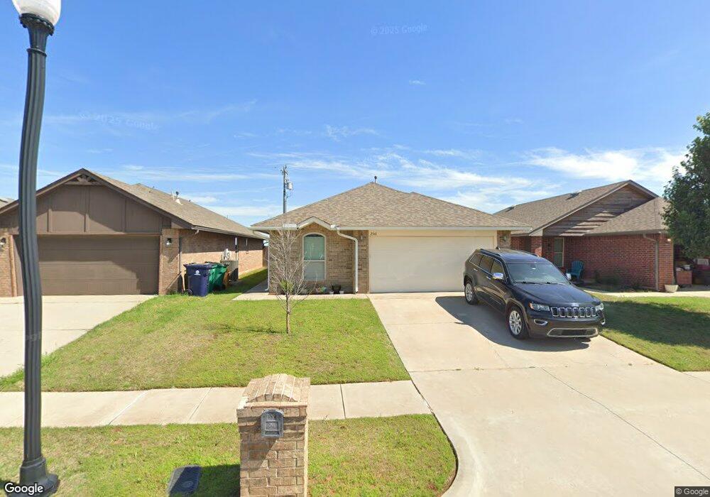
19921 Rondo Dr Edmond, OK 73012
West Edmond NeighborhoodEstimated Value: $232,000 - $256,000
3
Beds
2
Baths
1,468
Sq Ft
$168/Sq Ft
Est. Value
About This Home
This home is located at 19921 Rondo Dr, Edmond, OK 73012 and is currently estimated at $247,175, approximately $168 per square foot. 19921 Rondo Dr is a home with nearby schools including Frontier Elementary, Heartland Middle School, and Santa Fe High School.
Ownership History
Date
Name
Owned For
Owner Type
Purchase Details
Closed on
Jun 9, 2014
Sold by
La Sonata Properties Llc
Bought by
Olgin Moriah F and Matthews-Smith Darrell L J
Current Estimated Value
Home Financials for this Owner
Home Financials are based on the most recent Mortgage that was taken out on this home.
Original Mortgage
$147,906
Outstanding Balance
$115,268
Interest Rate
4.87%
Mortgage Type
FHA
Estimated Equity
$131,907
Create a Home Valuation Report for This Property
The Home Valuation Report is an in-depth analysis detailing your home's value as well as a comparison with similar homes in the area
Home Values in the Area
Average Home Value in this Area
Purchase History
| Date | Buyer | Sale Price | Title Company |
|---|---|---|---|
| Olgin Moriah F | $151,000 | Fatco |
Source: Public Records
Mortgage History
| Date | Status | Borrower | Loan Amount |
|---|---|---|---|
| Open | Olgin Moriah F | $147,906 |
Source: Public Records
Tax History Compared to Growth
Tax History
| Year | Tax Paid | Tax Assessment Tax Assessment Total Assessment is a certain percentage of the fair market value that is determined by local assessors to be the total taxable value of land and additions on the property. | Land | Improvement |
|---|---|---|---|---|
| 2024 | $2,554 | $22,528 | $2,696 | $19,832 |
| 2023 | $2,554 | $21,455 | $2,727 | $18,728 |
| 2022 | $2,454 | $20,434 | $3,031 | $17,403 |
| 2021 | $2,314 | $19,461 | $3,283 | $16,178 |
| 2020 | $2,236 | $18,535 | $3,256 | $15,279 |
| 2019 | $2,222 | $18,315 | $3,256 | $15,059 |
| 2018 | $2,148 | $17,600 | $0 | $0 |
| 2017 | $2,095 | $17,270 | $3,256 | $14,014 |
| 2016 | $2,057 | $17,049 | $3,110 | $13,939 |
| 2015 | $1,986 | $16,366 | $2,880 | $13,486 |
| 2014 | $46 | $381 | $381 | $0 |
Source: Public Records
Map
Nearby Homes
- 2317 NW 198th St
- 2305 NW 198th St
- 2341 NW 197th St
- 2232 NW 194th St
- 19813 Brunswick Ct
- 2528 NW 197th Terrace
- 19600 Taggert Dr
- 19604 Taggert Dr
- 2505 NW 196th St
- 2529 NW 196th St
- 2505 NW 199th St
- 2508 NW 199th St
- 2520 NW 199th St
- 2524 NW 196th St
- 2520 NW 196th St
- 2525 NW 196th St
- 19704 Forsythe Dr
- 19605 Dalemead Way
- 19608 Dalemead Way
- 2517 NW 196th St
- 2341 NW 199th St
- 2345 NW 199th St
- 2337 NW 199th St
- 2349 NW 199th St
- 2333 NW 199th St
- 2329 NW 199th St
- 2353 NW 199th St
- 2325 NW 199th St
- 2357 NW 199th St
- 2340 NW 199th St
- 2344 NW 199th St
- 2336 NW 199th St
- 2348 NW 199th St
- 2332 NW 199th St
- 2321 NW 199th St
- 2352 NW 199th St
- 2361 NW 199th St
- 2328 NW 199th St
- 2356 NW 199th St
- 2365 NW 199th St