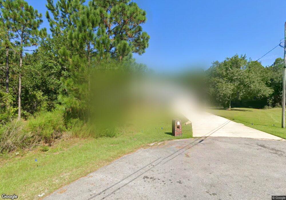
1993 Amhurst Ct Navarre, FL 32566
Estimated Value: $449,000 - $523,000
4
Beds
3
Baths
2,400
Sq Ft
$206/Sq Ft
Est. Value
About This Home
This home is located at 1993 Amhurst Ct, Navarre, FL 32566 and is currently estimated at $494,294, approximately $205 per square foot. 1993 Amhurst Ct is a home located in Santa Rosa County with nearby schools including West Navarre Primary School, West Navarre Intermediate School, and Woodlawn Beach Middle School.
Ownership History
Date
Name
Owned For
Owner Type
Purchase Details
Closed on
May 29, 2007
Sold by
Mcclaren Mitchell T and Mcclaren Heather M
Bought by
Gray Mark C and Gray Sandra M
Current Estimated Value
Home Financials for this Owner
Home Financials are based on the most recent Mortgage that was taken out on this home.
Original Mortgage
$56,000
Outstanding Balance
$34,136
Interest Rate
6.12%
Mortgage Type
Stand Alone Second
Estimated Equity
$460,158
Purchase Details
Closed on
Jun 15, 2004
Sold by
Gooden Homes Inc
Bought by
Mcclaren Mitchell T and Mcclaren Heather M
Home Financials for this Owner
Home Financials are based on the most recent Mortgage that was taken out on this home.
Original Mortgage
$166,588
Interest Rate
6.09%
Mortgage Type
Purchase Money Mortgage
Create a Home Valuation Report for This Property
The Home Valuation Report is an in-depth analysis detailing your home's value as well as a comparison with similar homes in the area
Home Values in the Area
Average Home Value in this Area
Purchase History
| Date | Buyer | Sale Price | Title Company |
|---|---|---|---|
| Gray Mark C | $280,000 | First American Title Ins Co | |
| Mcclaren Mitchell T | $208,300 | -- |
Source: Public Records
Mortgage History
| Date | Status | Borrower | Loan Amount |
|---|---|---|---|
| Open | Gray Mark C | $56,000 | |
| Open | Gray Mark C | $224,000 | |
| Previous Owner | Mcclaren Mitchell T | $166,588 | |
| Closed | Mcclaren Mitchell T | $31,236 |
Source: Public Records
Tax History Compared to Growth
Tax History
| Year | Tax Paid | Tax Assessment Tax Assessment Total Assessment is a certain percentage of the fair market value that is determined by local assessors to be the total taxable value of land and additions on the property. | Land | Improvement |
|---|---|---|---|---|
| 2024 | $175 | $214,477 | -- | -- |
| 2023 | $175 | $208,230 | $0 | $0 |
| 2022 | $165 | $202,165 | $0 | $0 |
| 2021 | $157 | $196,277 | $0 | $0 |
| 2020 | $2,057 | $193,567 | $0 | $0 |
| 2019 | $2,011 | $189,215 | $0 | $0 |
| 2018 | $2,001 | $185,687 | $0 | $0 |
| 2017 | $1,998 | $181,868 | $0 | $0 |
| 2016 | $1,938 | $178,127 | $0 | $0 |
| 2015 | $1,977 | $176,889 | $0 | $0 |
| 2014 | $1,995 | $175,485 | $0 | $0 |
Source: Public Records
Map
Nearby Homes
- 1983 Alamanda Ct
- 1951 Hawthorne Dr
- 1939 Anchor Dr
- 7401 Sandstone St
- 2038 Colby Ct
- 1998 Anchor Dr
- 7252 Antoinette Cir
- 2016 Anchor Dr
- 7241 Antoinette Cir
- 2087 Alfred Blvd
- 1871 Falling Leaves Ct
- 7271 Manatee St
- 7223 Antoinette Cir
- 7272 Manatee St
- 1963 Alfred Blvd
- 1983 Alfred Blvd
- 1848 Lindsey Magnolia Ct
- 1824 Lindsey Magnolia Ct
- 1985 Amhurst Ct
- 1939 Amhurst Ct
- 1992 Amhurst Ct
- 1990 Alamanda Ct
- 1982 Alamanda Ct
- 1977 Amhurst Ct
- 1938 Amhurst Ct
- 1984 Amhurst Ct
- 0 Amhurst Ct
- 1974 Alamanda Ct
- 1969 Amhurst Ct
- 1976 Amhurst Ct
- 1930 Amhurst Ct
- 1966 Alamanda Ct
- 2001 Hawthorne Dr
- 1968 Amhurst Ct
- 1991 Hawthorne Dr
- 1961 Amhurst Ct
- 1983 Hawthorne Dr
- 1991 Alamanda Ct
