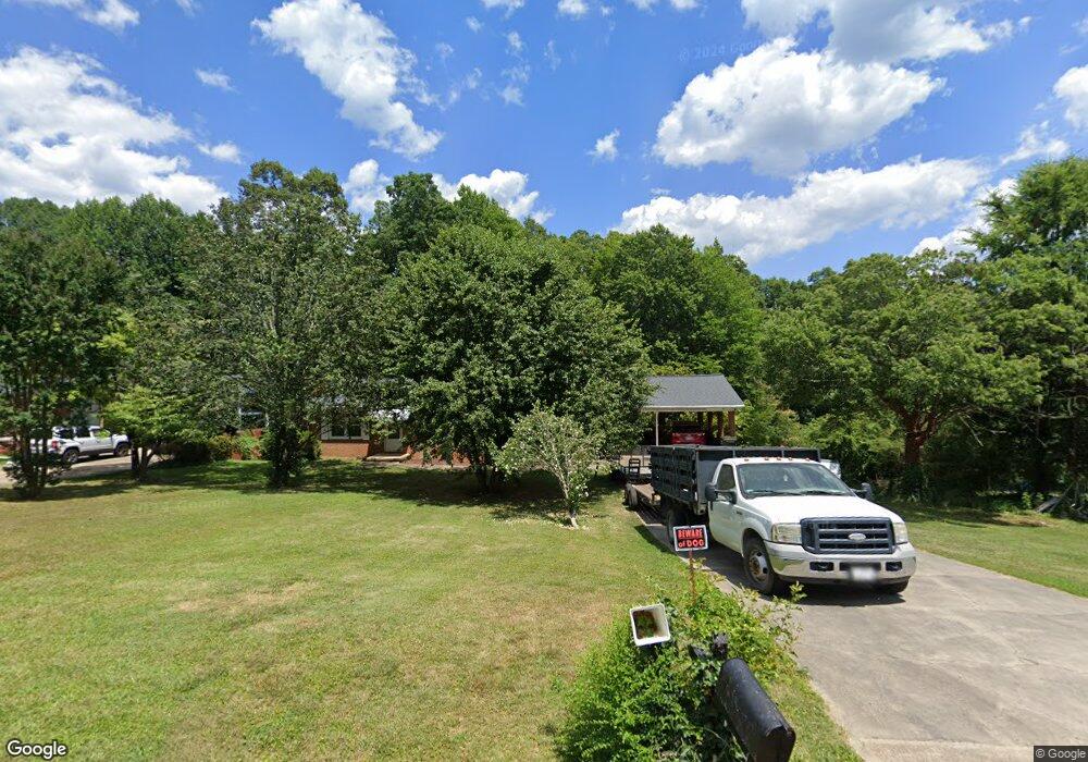
1993 Brook Dr Asheboro, NC 27205
Estimated Value: $208,784 - $256,000
--
Bed
2
Baths
1,350
Sq Ft
$180/Sq Ft
Est. Value
About This Home
This home is located at 1993 Brook Dr, Asheboro, NC 27205 and is currently estimated at $242,696, approximately $179 per square foot. 1993 Brook Dr is a home located in Randolph County with nearby schools including Guy B. Teachey Elementary School, South Asheboro Middle School, and Asheboro High School.
Ownership History
Date
Name
Owned For
Owner Type
Purchase Details
Closed on
Jul 30, 2009
Sold by
Cranford Ann C and Cranford Tommy L
Bought by
Pugh Armp Chris
Current Estimated Value
Home Financials for this Owner
Home Financials are based on the most recent Mortgage that was taken out on this home.
Original Mortgage
$112,917
Outstanding Balance
$73,921
Interest Rate
5.37%
Mortgage Type
FHA
Estimated Equity
$168,775
Purchase Details
Closed on
Sep 18, 2006
Sold by
Gatlin Dempsey E and Gatlin Esther L
Bought by
Cranford Ann G
Create a Home Valuation Report for This Property
The Home Valuation Report is an in-depth analysis detailing your home's value as well as a comparison with similar homes in the area
Home Values in the Area
Average Home Value in this Area
Purchase History
| Date | Buyer | Sale Price | Title Company |
|---|---|---|---|
| Pugh Armp Chris | $115,000 | None Available | |
| Cranford Ann G | -- | None Available |
Source: Public Records
Mortgage History
| Date | Status | Borrower | Loan Amount |
|---|---|---|---|
| Open | Pugh Armp Chris | $112,917 |
Source: Public Records
Tax History Compared to Growth
Tax History
| Year | Tax Paid | Tax Assessment Tax Assessment Total Assessment is a certain percentage of the fair market value that is determined by local assessors to be the total taxable value of land and additions on the property. | Land | Improvement |
|---|---|---|---|---|
| 2025 | $1,228 | $164,990 | $37,910 | $127,080 |
| 2024 | $1,228 | $164,990 | $37,910 | $127,080 |
| 2023 | $1,228 | $164,990 | $37,910 | $127,080 |
| 2022 | $1,037 | $113,970 | $25,060 | $88,910 |
| 2021 | $1,037 | $113,970 | $25,060 | $88,910 |
| 2020 | $1,003 | $113,970 | $25,060 | $88,910 |
| 2019 | $993 | $113,970 | $25,060 | $88,910 |
| 2018 | $1,077 | $120,300 | $25,450 | $94,850 |
| 2016 | $1,053 | $120,295 | $25,450 | $94,845 |
| 2015 | $1,056 | $120,295 | $25,450 | $94,845 |
| 2014 | $1,045 | $120,295 | $25,450 | $94,845 |
Source: Public Records
Map
Nearby Homes
- 228 Anchor Dr
- 287 Eldorado Rd
- 261 Charles Ave
- 0 Sykes Farm Rd
- 424 Northampton Dr
- 353 Auman Ave
- 0 Bray Blvd
- 431 Newbern Ave
- 897 Bray Blvd
- 248 CrooMcRest Rd
- 240 CrooMcRest Rd
- 1922 Oak Dr
- 724 Sherwood Rd
- 1427 S Fayetteville St
- 643 Cypress Dr
- 604 Hemlock Dr
- 1201 Lindale Dr
- 640 Hemlock Dr
- 888 Newbern Ave
- 2473 Zoo Pkwy