1993 Hawks Nest Dr Unit 15 Port Orange, FL 32128
Samsula-Spruce Creek NeighborhoodEstimated Value: $880,000 - $980,000
3
Beds
3
Baths
4,687
Sq Ft
$202/Sq Ft
Est. Value
About This Home
This home is located at 1993 Hawks Nest Dr Unit 15, Port Orange, FL 32128 and is currently estimated at $947,706, approximately $202 per square foot. 1993 Hawks Nest Dr Unit 15 is a home located in Volusia County with nearby schools including Cypress Creek Elementary School, Creekside Middle School, and Spruce Creek High School.
Ownership History
Date
Name
Owned For
Owner Type
Purchase Details
Closed on
Nov 9, 1999
Sold by
Eagles Crest W Inc
Bought by
Shaw Bernard and Shaw Rose G
Current Estimated Value
Home Financials for this Owner
Home Financials are based on the most recent Mortgage that was taken out on this home.
Original Mortgage
$300,000
Outstanding Balance
$92,567
Interest Rate
7.89%
Estimated Equity
$855,139
Create a Home Valuation Report for This Property
The Home Valuation Report is an in-depth analysis detailing your home's value as well as a comparison with similar homes in the area
Home Values in the Area
Average Home Value in this Area
Purchase History
| Date | Buyer | Sale Price | Title Company |
|---|---|---|---|
| Shaw Bernard | $347,100 | -- |
Source: Public Records
Mortgage History
| Date | Status | Borrower | Loan Amount |
|---|---|---|---|
| Open | Shaw Bernard | $300,000 |
Source: Public Records
Tax History Compared to Growth
Tax History
| Year | Tax Paid | Tax Assessment Tax Assessment Total Assessment is a certain percentage of the fair market value that is determined by local assessors to be the total taxable value of land and additions on the property. | Land | Improvement |
|---|---|---|---|---|
| 2025 | $7,748 | $486,046 | -- | -- |
| 2024 | $7,748 | $472,348 | -- | -- |
| 2023 | $7,748 | $458,591 | $0 | $0 |
| 2022 | $7,655 | $445,235 | $0 | $0 |
| 2021 | $7,960 | $432,266 | $0 | $0 |
| 2020 | $7,847 | $426,299 | $0 | $0 |
| 2019 | $8,041 | $416,714 | $0 | $0 |
| 2018 | $8,011 | $408,944 | $0 | $0 |
| 2017 | $8,072 | $400,533 | $0 | $0 |
| 2016 | $8,382 | $392,295 | $0 | $0 |
| 2015 | $8,556 | $389,568 | $0 | $0 |
| 2014 | $8,436 | $386,476 | $0 | $0 |
Source: Public Records
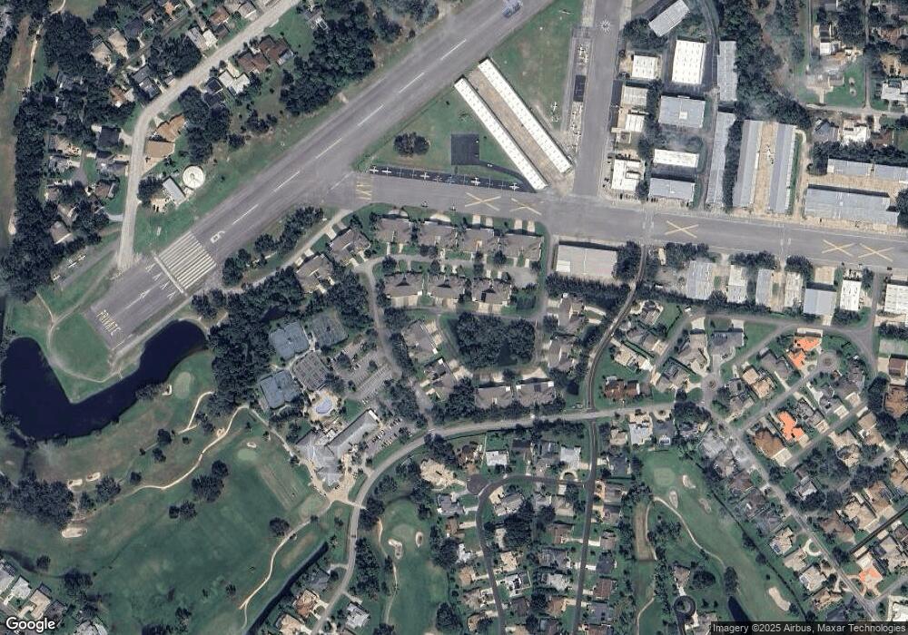
Map
Nearby Homes
- 14 Taxiway Lindy
- 1889 Seclusion Dr
- 1888 Seclusion Dr
- 1978 Country Club Dr
- 1882 Royal Lytham Ct
- 2633 Slow Flight Dr
- 3311 Oak Vista Dr
- 1885 Silver Fern Dr Unit 15
- 3184 Royal Birkdale Way
- 1879 Silver Fern Dr
- 2540 Tail Spin Trail
- 1995 Royal Saint George Ct
- 2536 Tail Spin Trail
- 3237 Vail View Dr
- 52 Taxiway Lindy Loop
- 1981 Rutgers Place
- 1981 Rutgers Place Unit 49
- 1991 Rutgers Place Unit 44
- 1903 Sprucewood Way
- 56 Lazy Eight Dr
- 1991 Hawks Nest Dr Unit 14
- 1995 Hawks Nest Dr Unit 16
- 1976 Hawks Nest Dr Unit 30
- 1997 Hawks Nest Dr Unit 17
- 1995 Hawks Nest Dr
- 1999 Hawks Nest Dr Unit 18
- 1892 Clubhouse Dr Unit 12
- 1892 Clubhouse Dr
- 1894 Clubhouse Dr
- 1896 Clubhouse Dr Unit 10
- 1989 Hawks Nest Dr
- 1992 Hawks Nest Dr Unit 22
- 1994 Hawks Nest Dr
- 1990 Hawks Nest Dr Unit 23
- 1898 Clubhouse Dr Unit 9
- 1988 Hawks Nest Dr Unit 24
- 1996 Hawks Nest Dr Unit 20
- 1927 Country Club Dr
- 1929 Country Club Dr Unit 7
- 1986 Hawks Nest Dr Unit 25