1993 Main Rd Westport Point, MA 02791
Westport Point NeighborhoodEstimated Value: $1,279,580 - $1,572,000
3
Beds
--
Bath
1,666
Sq Ft
$853/Sq Ft
Est. Value
About This Home
This home is located at 1993 Main Rd, Westport Point, MA 02791 and is currently estimated at $1,421,860, approximately $853 per square foot. 1993 Main Rd is a home with nearby schools including Alice A. Macomber Primary School, Westport Elementary School, and Westport Middle-High School.
Ownership History
Date
Name
Owned For
Owner Type
Purchase Details
Closed on
May 31, 2016
Sold by
Kayla Niles Qprt and Kayla Niles
Bought by
Goldsmith Rachel H
Current Estimated Value
Create a Home Valuation Report for This Property
The Home Valuation Report is an in-depth analysis detailing your home's value as well as a comparison with similar homes in the area
Home Values in the Area
Average Home Value in this Area
Purchase History
| Date | Buyer | Sale Price | Title Company |
|---|---|---|---|
| Goldsmith Rachel H | -- | -- | |
| Goldsmith Rachel H | -- | -- |
Source: Public Records
Mortgage History
| Date | Status | Borrower | Loan Amount |
|---|---|---|---|
| Previous Owner | Goldsmith Rachel H | $250,000 |
Source: Public Records
Tax History Compared to Growth
Tax History
| Year | Tax Paid | Tax Assessment Tax Assessment Total Assessment is a certain percentage of the fair market value that is determined by local assessors to be the total taxable value of land and additions on the property. | Land | Improvement |
|---|---|---|---|---|
| 2025 | $8,144 | $1,093,100 | $795,600 | $297,500 |
| 2024 | $7,950 | $1,028,400 | $737,100 | $291,300 |
| 2023 | $7,162 | $877,700 | $599,900 | $277,800 |
| 2022 | $6,739 | $794,700 | $574,400 | $220,300 |
| 2021 | $4,477 | $703,000 | $487,400 | $215,600 |
| 2020 | $4,186 | $683,500 | $467,900 | $215,600 |
| 2019 | $4,339 | $670,700 | $467,900 | $202,800 |
| 2018 | $6,996 | $856,300 | $663,100 | $193,200 |
| 2017 | $2,971 | $845,700 | $658,300 | $187,400 |
| 2016 | $6,628 | $837,900 | $658,300 | $179,600 |
| 2015 | $6,401 | $807,200 | $658,300 | $148,900 |
Source: Public Records
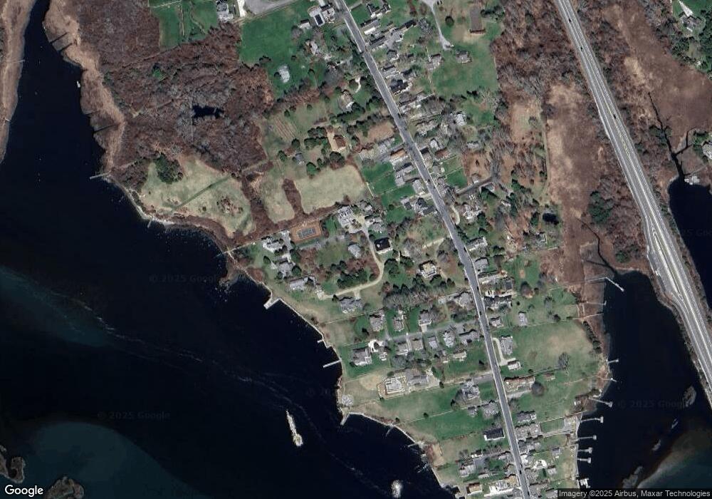
Map
Nearby Homes
- 1881 Main Rd
- 1749 Main Rd
- 1702J Drift Rd
- 1702 Drift Rd
- 1580 Main Rd
- 19 Seabury Ln
- 1346 Main Rd Unit B
- 99 Sylvia Ln
- 238-242 E Beach Rd
- 189 Brayton Point Rd
- 304 Brayton Point Rd
- 255 John Dyer Rd
- Lot 2 Horseneck Rd
- 245 John Dyer Rd
- 225 Hixbridge Rd
- 17 Quail Trail
- 920 Drift Rd
- 101 Adamsville Rd
- Lot 2E Horseneck Rd
- 505 Long Hwy
- 1991B Main Rd Unit WEEKLY
- 1991B Main Rd Unit WINTER RENT
- 1991B Main Rd Unit VAC RENTAL
- 1991B Main Rd Unit WEEKLY
- 1991B Main Rd Unit WINTER
- 1991B Main Rd
- 0 Hillside Ave
- 1985F Main Rd
- 1985 Main Rd
- 1985 Main Rd
- 1991C Main Rd
- 1991D Main Rd
- 1985C Main Rd
- 1991 Main Rd Unit WINTER '22
- 21 Valentine Ln
- 1977 Main Rd
- 1991 Main Rd Unit WINTER
- 1991 Main Rd Unit VAC RENTAL
- 1977 Main Road U: Weekly
- 17 Valentine Ln