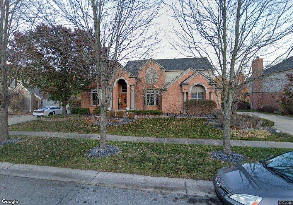
1993 Trinity Rd Canton, MI 48187
Estimated Value: $667,445 - $866,000
Studio
3
Baths
3,375
Sq Ft
$231/Sq Ft
Est. Value
About This Home
This home is located at 1993 Trinity Rd, Canton, MI 48187 and is currently estimated at $779,611, approximately $230 per square foot. 1993 Trinity Rd is a home located in Wayne County with nearby schools including Canton High School, Plymouth High School, and Salem High School.
Ownership History
Date
Name
Owned For
Owner Type
Purchase Details
Closed on
Aug 11, 2006
Sold by
Pulte Land Co Llc
Bought by
Humes Marvin T
Current Estimated Value
Create a Home Valuation Report for This Property
The Home Valuation Report is an in-depth analysis detailing your home's value as well as a comparison with similar homes in the area
Home Values in the Area
Average Home Value in this Area
Purchase History
| Date | Buyer | Sale Price | Title Company |
|---|---|---|---|
| Humes Marvin T | $143,000 | Metropolitan Title Company |
Source: Public Records
Tax History
| Year | Tax Paid | Tax Assessment Tax Assessment Total Assessment is a certain percentage of the fair market value that is determined by local assessors to be the total taxable value of land and additions on the property. | Land | Improvement |
|---|---|---|---|---|
| 2025 | $4,710 | $369,200 | $0 | $0 |
| 2024 | $4,575 | $323,900 | $0 | $0 |
| 2023 | $4,362 | $273,300 | $0 | $0 |
| 2022 | $9,379 | $251,900 | $0 | $0 |
| 2021 | $5,069 | $254,900 | $0 | $0 |
| 2020 | $8,988 | $253,500 | $0 | $0 |
| 2019 | $8,825 | $249,250 | $0 | $0 |
| 2018 | $3,707 | $243,530 | $0 | $0 |
| 2017 | $8,869 | $239,500 | $0 | $0 |
| 2016 | $8,011 | $240,600 | $0 | $0 |
| 2015 | $20,370 | $225,400 | $0 | $0 |
| 2013 | $19,734 | $210,720 | $0 | $0 |
| 2010 | -- | $184,510 | $80,325 | $104,185 |
Source: Public Records
Map
Nearby Homes
- 48375 Ford Rd
- 5885 Fairborn Dr
- 5922 Valley View Dr
- 2043 Centennial Dr
- 47450 Ellery Ln
- 48107 Hanford Rd
- 1275 Hendrie
- 8517 N Beck Rd
- 49308 Dominion Ct
- 48123 Covington Ct
- 1502 Tradition Dr
- 48030 Cherry Hill Rd
- 00000 Maben Rd
- 1725 Gorman St
- 47740 Royal Pointe Dr
- 1632 Peninsula Ct Unit 159
- 45677 Radnor Rd
- 1289 Old Colony Ln Unit 232
- 50145 Ford Rd
- 137 Village Way
- 1925 Trinity Rd
- 2061 Trinity Rd
- 2128 Trinity Rd
- 2060 Trinity Rd
- 47845 Ford Rd
- 2196 Trinity Rd
- 1992 Trinity Rd
- 1924 Trinity Rd
- 1857 Trinity Rd
- 1856 Trinity Rd
- 2110 Ashbourne Dr
- 47777 Ford Rd
- 47840 Ford Rd
- 2248 Ashbourne Dr
- 1972 Ashbourne Dr
- 1834 Ashbourne Dr
- 47765 Ford Rd
- 48156 Roundstone Ct
- 2260 Ashbourne Dr
- 47988 River Way Ct
Your Personal Tour Guide
Ask me questions while you tour the home.