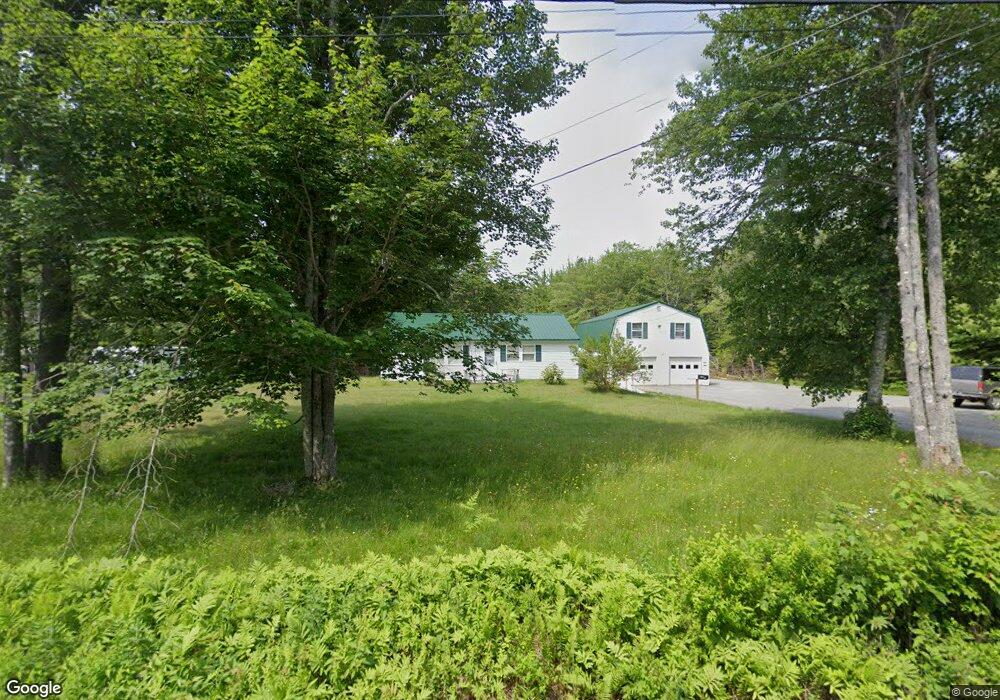
1993A Bayside Rd Trenton, ME 04605
Estimated Value: $159,639 - $470,000
--
Bed
--
Bath
--
Sq Ft
1.62
Acres
About This Home
This home is located at 1993A Bayside Rd, Trenton, ME 04605 and is currently estimated at $297,160. 1993A Bayside Rd is a home with nearby schools including Trenton Elementary School.
Ownership History
Date
Name
Owned For
Owner Type
Purchase Details
Closed on
Sep 14, 2017
Sold by
Leland Robert S and Leland Laureen P
Bought by
Staples Emily P and Burr Samuel S
Current Estimated Value
Purchase Details
Closed on
Jan 27, 2017
Sold by
Leland Robert S and Leland Laureen P
Bought by
Staples Emily P
Purchase Details
Closed on
Sep 14, 2015
Sold by
Hodgkins Maureen
Bought by
Staples Bradley L and Staples Bruce T
Home Financials for this Owner
Home Financials are based on the most recent Mortgage that was taken out on this home.
Original Mortgage
$121,600
Interest Rate
4.01%
Mortgage Type
Commercial
Create a Home Valuation Report for This Property
The Home Valuation Report is an in-depth analysis detailing your home's value as well as a comparison with similar homes in the area
Home Values in the Area
Average Home Value in this Area
Purchase History
| Date | Buyer | Sale Price | Title Company |
|---|---|---|---|
| Staples Emily P | -- | -- | |
| Staples Emily P | -- | -- | |
| Staples Bradley L | -- | -- |
Source: Public Records
Mortgage History
| Date | Status | Borrower | Loan Amount |
|---|---|---|---|
| Previous Owner | Staples Bradley L | $121,600 |
Source: Public Records
Tax History Compared to Growth
Tax History
| Year | Tax Paid | Tax Assessment Tax Assessment Total Assessment is a certain percentage of the fair market value that is determined by local assessors to be the total taxable value of land and additions on the property. | Land | Improvement |
|---|---|---|---|---|
| 2024 | $1,126 | $95,800 | $61,400 | $34,400 |
| 2023 | $961 | $63,900 | $40,900 | $23,000 |
| 2022 | $890 | $63,900 | $40,900 | $23,000 |
| 2021 | $875 | $63,900 | $40,900 | $23,000 |
| 2020 | $2,736 | $205,400 | $64,800 | $140,600 |
| 2019 | $2,453 | $206,000 | $64,800 | $141,200 |
| 2018 | $2,228 | $207,100 | $64,800 | $142,300 |
| 2017 | $2,217 | $220,800 | $64,800 | $156,000 |
| 2016 | $2,207 | $220,000 | $64,800 | $155,200 |
| 2015 | $2,251 | $220,700 | $64,800 | $155,900 |
| 2014 | $2,245 | $220,100 | $64,800 | $155,300 |
| 2013 | $2,226 | $214,000 | $64,800 | $149,200 |
Source: Public Records
Map
Nearby Homes
- 35 Nutting Ln
- 48 Sheltons Rd
- 26 Pressey Ln
- 001-108 Oak Point Rd
- 58 Pressey Ln
- 53 Woodland Dr
- 31 Daybreak Ln
- 363 Oak Point Rd
- 37 Hanna Dr
- 005 Newbury Neck Rd
- 16 Blodgett Dr
- 16 Blodgett Ln
- 1274 Bayside Rd
- 0 Country Way
- 1439 State Highway 102
- Lot 38 Arrowhead Rd
- Lot 5 Aspen Way
- Lot 7 Aspen Way
- Lot 79-01 Knox Rd
- 159 Gilbert Farm Rd
- 1993 Bayside Rd
- 1999 Bayside Rd
- 2008 Bayside Rd
- 1988 Bayside Rd
- 2021 Bayside Rd
- 2022 Bayside Rd
- 2035 Bayside Rd
- 2030 Bayside Rd
- 1966 Bayside Rd
- 1900 Bayside Rd
- 2039 Bayside Rd
- 925 Oak Point Rd
- 1954 Bayside Rd
- 150 Nutting Ln
- 909 Oak Point Rd
- 2011 Bayside Rd
- 1944 Bayside Rd
- 899 Oak Point Rd
- 200 Nutting Ln