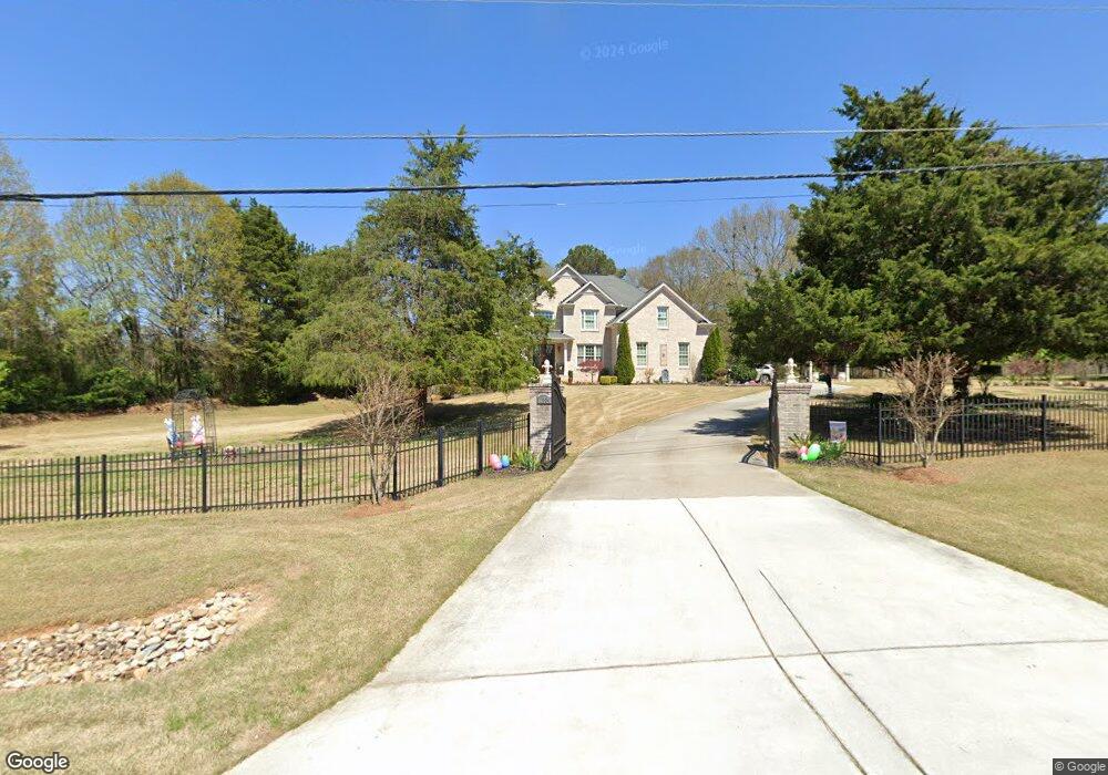
1994 Bennett Rd Grayson, GA 30017
Estimated Value: $598,000 - $674,000
4
Beds
4
Baths
3,452
Sq Ft
$182/Sq Ft
Est. Value
About This Home
This home is located at 1994 Bennett Rd, Grayson, GA 30017 and is currently estimated at $627,031, approximately $181 per square foot. 1994 Bennett Rd is a home with nearby schools including Grayson Elementary School, Bay Creek Middle School, and Grayson High School.
Ownership History
Date
Name
Owned For
Owner Type
Purchase Details
Closed on
Oct 6, 2008
Sold by
Legends Land Dev Group Llc
Bought by
Prad William and Prad Deloris
Current Estimated Value
Purchase Details
Closed on
Jul 21, 2006
Sold by
Busby Kurt and Busby Moira
Bought by
Legends Land Dev Group Llc
Home Financials for this Owner
Home Financials are based on the most recent Mortgage that was taken out on this home.
Original Mortgage
$270,000
Interest Rate
6.68%
Create a Home Valuation Report for This Property
The Home Valuation Report is an in-depth analysis detailing your home's value as well as a comparison with similar homes in the area
Home Values in the Area
Average Home Value in this Area
Purchase History
| Date | Buyer | Sale Price | Title Company |
|---|---|---|---|
| Prad William | $90,900 | -- | |
| Legends Land Dev Group Llc | $400,000 | -- |
Source: Public Records
Mortgage History
| Date | Status | Borrower | Loan Amount |
|---|---|---|---|
| Previous Owner | Legends Land Dev Group Llc | $270,000 |
Source: Public Records
Tax History
| Year | Tax Paid | Tax Assessment Tax Assessment Total Assessment is a certain percentage of the fair market value that is determined by local assessors to be the total taxable value of land and additions on the property. | Land | Improvement |
|---|---|---|---|---|
| 2025 | $2,491 | $269,480 | $25,040 | $244,440 |
| 2024 | $2,494 | $269,480 | $25,040 | $244,440 |
| 2023 | $2,494 | $269,480 | $25,040 | $244,440 |
| 2022 | $2,278 | $186,840 | $13,520 | $173,320 |
| 2021 | $1,913 | $186,840 | $13,520 | $173,320 |
| 2020 | $4,926 | $186,840 | $13,520 | $173,320 |
| 2019 | $4,926 | $138,480 | $14,800 | $123,680 |
| 2018 | $2,025 | $138,480 | $14,800 | $123,680 |
| 2016 | $4,885 | $138,480 | $14,800 | $123,680 |
| 2015 | $4,944 | $138,480 | $14,800 | $123,680 |
| 2014 | -- | $135,520 | $15,040 | $120,480 |
Source: Public Records
Map
Nearby Homes
- 2120 Railyard Ave Unit 13
- 730 Windsor Place Cir SW
- 730 Windsor Place Cir Unit 1
- 2385 Waterton Ridge Trail
- 2265 Rosebud Rd
- 2031 Lakewood Cir
- 567 Barlow Place
- 532 Barlow Place
- 1955 Lakewood Trace
- 492 Glenns Farm Ln Unit 1
- 936 Lakeview Oaks Ct
- 936 Lakeview Oaks Ct Unit 30-B
- 956 Lakeview Oaks Ct
- 956 Lakeview Oaks Ct Unit 28-A
- 946 Lakeviewe Oaks Ct Unit 29-A
- 946 Lakeview Oaks Ct
- 561 Glenns Farm Way
- 1021 Reddy Farm Rd
- 1855 Big Haynes Ct Unit 7
- 828 Cooper Lakes Ct
- 1611 Bennett Rd
- 1651 Bennett Rd
- 1631 Bennett Rd
- 1655 Bennett Rd
- 2960 Reserve Dr
- 1984 Bennett Rd
- 2018 Keeling Mill Terrace
- 2028 Keeling Mill Terrace
- 2038 Keeling Mill Terrace
- 2020 Reserve Dr
- 2008 Keeling Mill Terrace
- 1960 Reserve Dr
- 2048 Keeling Mill Terrace
- 1964 Bennett Rd
- 1970 Reserve Dr
- 1958 Amaryllis Dr
- 2009 Keeling Mill Terrace
- 2166 Derrick Dr
- 2229 Derrick Dr
- 1717 Sailmaker Place
Your Personal Tour Guide
Ask me questions while you tour the home.