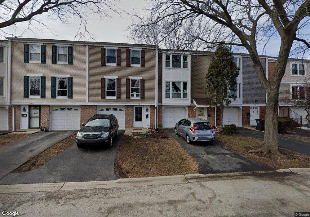
1994 Holbrook Ln Unit 2 Hoffman Estates, IL 60169
South Hoffman Estates NeighborhoodEstimated Value: $270,000 - $292,926
3
Beds
3
Baths
1,200
Sq Ft
$237/Sq Ft
Est. Value
About This Home
This home is located at 1994 Holbrook Ln Unit 2, Hoffman Estates, IL 60169 and is currently estimated at $284,482, approximately $237 per square foot. 1994 Holbrook Ln Unit 2 is a home located in Cook County with nearby schools including John Muir Literacy Academy, Dwight D Eisenhower Junior High School, and Hoffman Estates High School.
Ownership History
Date
Name
Owned For
Owner Type
Purchase Details
Closed on
Nov 18, 1993
Sold by
Love David J and Love Anna M
Bought by
Pappas Thomas L
Current Estimated Value
Home Financials for this Owner
Home Financials are based on the most recent Mortgage that was taken out on this home.
Original Mortgage
$81,009
Interest Rate
6.82%
Mortgage Type
FHA
Create a Home Valuation Report for This Property
The Home Valuation Report is an in-depth analysis detailing your home's value as well as a comparison with similar homes in the area
Home Values in the Area
Average Home Value in this Area
Purchase History
| Date | Buyer | Sale Price | Title Company |
|---|---|---|---|
| Pappas Thomas L | $56,666 | -- |
Source: Public Records
Mortgage History
| Date | Status | Borrower | Loan Amount |
|---|---|---|---|
| Closed | Pappas Thomas L | $81,009 |
Source: Public Records
Tax History Compared to Growth
Tax History
| Year | Tax Paid | Tax Assessment Tax Assessment Total Assessment is a certain percentage of the fair market value that is determined by local assessors to be the total taxable value of land and additions on the property. | Land | Improvement |
|---|---|---|---|---|
| 2024 | $3,692 | $18,000 | $3,000 | $15,000 |
| 2023 | $2,277 | $18,000 | $3,000 | $15,000 |
| 2022 | $2,277 | $18,000 | $3,000 | $15,000 |
| 2021 | $2,278 | $13,461 | $1,764 | $11,697 |
| 2020 | $2,075 | $13,461 | $1,764 | $11,697 |
| 2019 | $2,052 | $16,561 | $1,764 | $14,797 |
| 2018 | $2,289 | $16,949 | $1,540 | $15,409 |
| 2017 | $2,209 | $16,949 | $1,540 | $15,409 |
| 2016 | $5,049 | $16,949 | $1,540 | $15,409 |
| 2015 | $4,626 | $14,404 | $1,344 | $13,060 |
| 2014 | $4,545 | $14,404 | $1,344 | $13,060 |
| 2013 | $4,428 | $14,404 | $1,344 | $13,060 |
Source: Public Records
Map
Nearby Homes
- 1996 Blackberry Ln Unit 14
- 1956 Georgetown Ln Unit 4
- 2230 Stratham Place
- 1925 Georgetown Ln Unit 4
- 1886 Stockton Dr Unit 3253
- 1862 Stockton Dr Unit 3283
- 1672 Cornell Dr
- 1685 Cornell Dr
- 1840 Huntington Blvd Unit 415
- 1840 Huntington Blvd Unit 412
- 1854 Huntington Blvd Unit C
- 1738 Ardwick Dr
- 1808 Fayette Walk Unit H
- 1977 Kenilworth Cir Unit D
- 1800 Huntington Blvd Unit AE615
- 1940 Kenilworth Cir Unit D
- 2004 E Parkview Cir
- 1704 Fayette Walk Unit B
- 1763 Bristol Walk Unit 1763
- 2079 E Parkview Cir
- 1996 Holbrook Ln Unit 2
- 1992 Holbrook Ln
- 1990 Holbrook Ln Unit 2
- 1998 Holbrook Ln Unit 2
- 1988 Holbrook Ln Unit 2
- 1986 Holbrook Ln Unit 2
- 1984 Holbrook Ln Unit 2
- 2167 Hassell Rd Unit 2
- 1982 Holbrook Ln Unit 2
- 2163 Hassell Rd Unit 2
- 2166 Greystone Place Unit 2
- 1989 Blackberry Ln Unit 111
- 2159 Hassell Rd Unit 2
- 2159 Hassell Rd Unit 1
- 2162 Greystone Place Unit 2
- 2155 Hassell Rd Unit 2
- 1981 Blackberry Ln Unit 113
- 2158 Greystone Place Unit 2
- 1977 Blackberry Ln Unit 114
- 1973 Blackberry Ln Unit 115