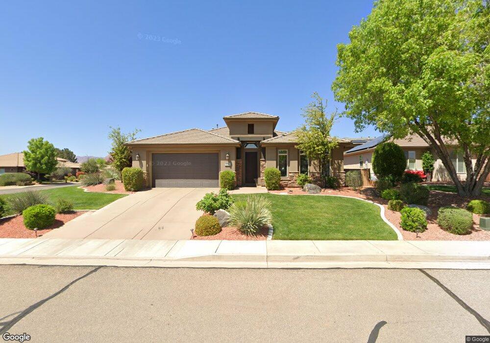
1994 W 470 St N St. George, UT 84770
Estimated Value: $554,843 - $603,000
3
Beds
2
Baths
10,071
Sq Ft
$58/Sq Ft
Est. Value
About This Home
This home is located at 1994 W 470 St N, St. George, UT 84770 and is currently estimated at $580,461, approximately $57 per square foot. 1994 W 470 St N is a home located in Washington County with nearby schools including Sunset School, Snow Canyon Middle School, and Lava Ridge Intermediate School.
Ownership History
Date
Name
Owned For
Owner Type
Purchase Details
Closed on
Jan 27, 2014
Sold by
Henry Walker Construction Of Southern Ut
Bought by
Roffman Jay Ronnie and Jay Ronnie Roffman Revocable Trust
Current Estimated Value
Purchase Details
Closed on
Jul 31, 2013
Sold by
Henry Walker Land Of Southern Utah Llc
Bought by
Henry Walker Construction Of Southern Ut
Home Financials for this Owner
Home Financials are based on the most recent Mortgage that was taken out on this home.
Original Mortgage
$195,000
Interest Rate
3.92%
Mortgage Type
Construction
Purchase Details
Closed on
Jul 21, 2010
Sold by
Twin Creeks Properties Llc
Bought by
Rbc Real Estate Finance Inc
Create a Home Valuation Report for This Property
The Home Valuation Report is an in-depth analysis detailing your home's value as well as a comparison with similar homes in the area
Home Values in the Area
Average Home Value in this Area
Purchase History
| Date | Buyer | Sale Price | Title Company |
|---|---|---|---|
| Roffman Jay Ronnie | -- | Southern Utah Title | |
| Henry Walker Construction Of Southern Ut | -- | Cottonwood Title Insurance A | |
| Rbc Real Estate Finance Inc | -- | None Available |
Source: Public Records
Mortgage History
| Date | Status | Borrower | Loan Amount |
|---|---|---|---|
| Previous Owner | Henry Walker Construction Of Southern Ut | $195,000 |
Source: Public Records
Tax History Compared to Growth
Tax History
| Year | Tax Paid | Tax Assessment Tax Assessment Total Assessment is a certain percentage of the fair market value that is determined by local assessors to be the total taxable value of land and additions on the property. | Land | Improvement |
|---|---|---|---|---|
| 2025 | $2,088 | $306,460 | $82,500 | $223,960 |
| 2023 | $2,254 | $336,820 | $68,750 | $268,070 |
| 2022 | $2,369 | $332,860 | $63,250 | $269,610 |
| 2021 | $1,944 | $407,400 | $85,000 | $322,400 |
| 2020 | $1,786 | $352,500 | $70,000 | $282,500 |
| 2019 | $1,662 | $320,400 | $70,000 | $250,400 |
| 2018 | $1,755 | $174,680 | $0 | $0 |
| 2017 | $1,667 | $161,150 | $0 | $0 |
| 2016 | $1,623 | $145,090 | $0 | $0 |
| 2015 | $1,641 | $140,745 | $0 | $0 |
| 2014 | $1,656 | $142,890 | $0 | $0 |
Source: Public Records
Map
Nearby Homes
- 1950 W 470 St N
- 414 Northstar Dr
- 565 N Moonglow Place
- 665 N Dusk Dr
- 340 N Country Ln Unit 66
- 340 N Country Ln Unit 27
- 1732 W 540 N Unit 13
- 1732 W 540 N Unit 120
- 1732 W 540 N Unit 92
- 1732 W 540 N Unit 161
- 1732 W 540 N Unit 68
- 1732 W 540 N Unit 17
- 271 N Country Ln Unit 60
- 271 N Country Ln Unit B14
- 1735 W 540 N Unit 1203
- 1735 W 540 N Unit 1202
- 225 N Country Ln Unit 111
- 225 N Country Ln Unit 104
- 225 N Country Ln Unit 5
- 2394 W Chardonnay
- 1980 W 470 St N
- 1993 W 510 North Cir
- 1993 W 510 St N
- 1980 W 470 N
- 1985 W 510 N
- 1981 W 510 N
- 483 Northstar Dr
- 1966 W 470 N
- 471 Northstar Dr
- 1997 W 470 N
- 1997 W 470 N Unit 38
- 1983 W 470 St N
- 2025 W 510 N
- 1971 W 510 N
- 483 N North Star Dr
- 0 W 510 N
- 1965 W 510 N
- 446 Northstar Dr
- 1988 W 510 N
- 457 Northstar Dr