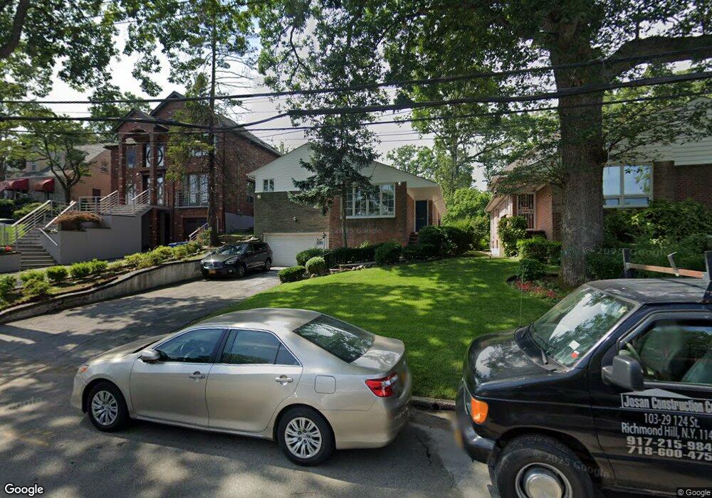
19943 Keno Ave Hollis, NY 11423
Holliswood NeighborhoodEstimated Value: $1,220,000 - $1,773,449
--
Bed
--
Bath
2,143
Sq Ft
$747/Sq Ft
Est. Value
About This Home
This home is located at 19943 Keno Ave, Hollis, NY 11423 and is currently estimated at $1,600,112, approximately $746 per square foot. 19943 Keno Ave is a home located in Queens County with nearby schools including The Bellaire School, Jean Nuzzi Intermediate School, and Gaston Junior/Senior High School.
Ownership History
Date
Name
Owned For
Owner Type
Purchase Details
Closed on
Aug 6, 2021
Sold by
Bromberg Chanoch and Bromberg Elisa
Bought by
Msm 777 Inc
Current Estimated Value
Purchase Details
Closed on
Mar 17, 2017
Sold by
John Molly A and Johnson Molly A
Bought by
Bromberg Chanoch and Bromberg Elisa
Home Financials for this Owner
Home Financials are based on the most recent Mortgage that was taken out on this home.
Original Mortgage
$200,000
Interest Rate
4.15%
Mortgage Type
Purchase Money Mortgage
Create a Home Valuation Report for This Property
The Home Valuation Report is an in-depth analysis detailing your home's value as well as a comparison with similar homes in the area
Home Values in the Area
Average Home Value in this Area
Purchase History
| Date | Buyer | Sale Price | Title Company |
|---|---|---|---|
| Msm 777 Inc | $1,570,000 | -- | |
| Bromberg Chanoch | $920,000 | -- |
Source: Public Records
Mortgage History
| Date | Status | Borrower | Loan Amount |
|---|---|---|---|
| Previous Owner | Bromberg Chanoch | $200,000 |
Source: Public Records
Tax History Compared to Growth
Tax History
| Year | Tax Paid | Tax Assessment Tax Assessment Total Assessment is a certain percentage of the fair market value that is determined by local assessors to be the total taxable value of land and additions on the property. | Land | Improvement |
|---|---|---|---|---|
| 2025 | $14,499 | $76,517 | $24,713 | $51,804 |
| 2024 | $14,499 | $72,186 | $24,640 | $47,546 |
| 2023 | $13,678 | $68,100 | $28,233 | $39,867 |
| 2022 | $14,278 | $71,520 | $25,560 | $45,960 |
| 2021 | $14,218 | $67,560 | $25,560 | $42,000 |
| 2020 | $13,411 | $63,360 | $25,560 | $37,800 |
| 2019 | $12,966 | $61,980 | $25,560 | $36,420 |
| 2018 | $12,065 | $59,184 | $20,871 | $38,313 |
| 2017 | $11,530 | $58,032 | $21,184 | $36,848 |
| 2016 | $11,291 | $58,032 | $21,184 | $36,848 |
| 2015 | $6,383 | $55,415 | $28,336 | $27,079 |
| 2014 | $6,383 | $52,279 | $25,233 | $27,046 |
Source: Public Records
Map
Nearby Homes
- 19922 Keno Ave
- 198-31 Pompeii Ave
- 8601 Marengo St
- 8649 Dunton St
- 86-79 Pinto St
- 198-16 Mclaughlin Ave
- 198-02 Pompeii Ave Unit 1 B
- 198-44 Pompeii Ave Unit 1A
- 19703 Mclaughlin Ave
- 86-70 Francis Lewis Blvd Unit A-44
- 86-70 Francis Lewis Blvd Unit A55
- 86-70 Francis Lewis Blvd Unit A-13
- 19615 Como Ave
- 8730 204th St Unit A61
- 87-16 Marengo St Unit 2B
- 87-30 204th St Unit B48
- 87-30 204th St Unit B55
- 87-30 204th St Unit A54
- 87-10 204th St Unit A-62
- 87-44 Marengo St Unit 2A
- 19949 Keno Ave
- 199-43 Keno Ave
- 19937 Keno Ave
- 19933 Keno Ave
- 19955 Keno Ave
- 19916 Romeo Ct
- 19927 Keno Ave
- 19824 Romeo Ct
- 19812 Romeo Ct
- 19816 Romeo Ct
- 198-24 Romeo Ct
- 19961 Keno Ave
- 8671 Marengo St
- 19812 Romeo Ct
- 199-46 Keno Ave
- 199-40 Keno Ave
- 19923 Keno Ave
- 8665 Marengo St
- 19946 Keno Ave
- 86-65 Marengo St