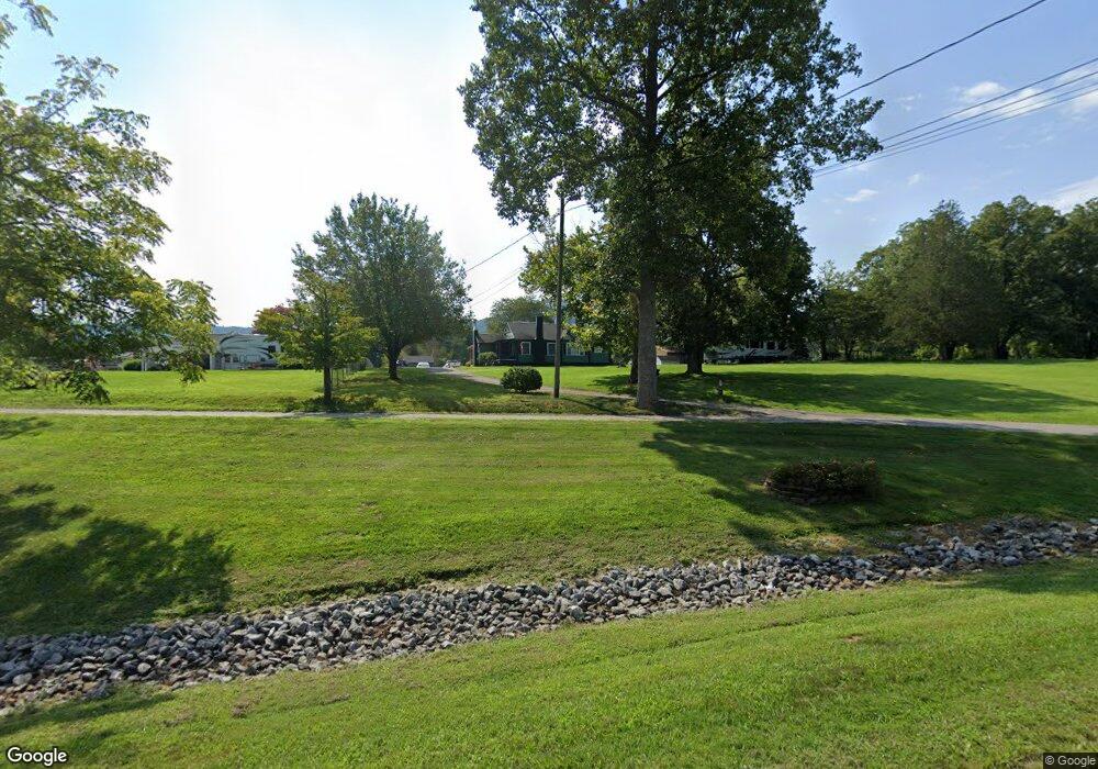
1995 Bartles Ln Lenoir, NC 28645
Estimated Value: $210,283 - $267,000
3
Beds
1
Bath
1,332
Sq Ft
$172/Sq Ft
Est. Value
About This Home
This home is located at 1995 Bartles Ln, Lenoir, NC 28645 and is currently estimated at $228,821, approximately $171 per square foot. 1995 Bartles Ln is a home located in Caldwell County with nearby schools including Lower Creek Elementary School, William Lenoir Middle School, and Hibriten High School.
Ownership History
Date
Name
Owned For
Owner Type
Purchase Details
Closed on
Feb 28, 2024
Sold by
Trivette Myrtle Jean and Bryan White W
Bought by
Icenhour Chad Steven and Keener Angela Juanita
Current Estimated Value
Purchase Details
Closed on
Mar 10, 2009
Sold by
Coffey Vanessa Jean
Bought by
Carlton Amanda Dawn
Purchase Details
Closed on
Jul 19, 2000
Bought by
Miller Myrtle J
Purchase Details
Closed on
Jan 1, 1989
Create a Home Valuation Report for This Property
The Home Valuation Report is an in-depth analysis detailing your home's value as well as a comparison with similar homes in the area
Home Values in the Area
Average Home Value in this Area
Purchase History
| Date | Buyer | Sale Price | Title Company |
|---|---|---|---|
| Icenhour Chad Steven | $54,000 | None Listed On Document | |
| Carlton Amanda Dawn | -- | None Available | |
| Miller Myrtle J | -- | -- | |
| -- | $62,000 | -- |
Source: Public Records
Tax History Compared to Growth
Tax History
| Year | Tax Paid | Tax Assessment Tax Assessment Total Assessment is a certain percentage of the fair market value that is determined by local assessors to be the total taxable value of land and additions on the property. | Land | Improvement |
|---|---|---|---|---|
| 2025 | $593 | $157,800 | $25,300 | $132,500 |
| 2024 | $593 | $74,600 | $25,300 | $49,300 |
| 2023 | $555 | $74,600 | $25,300 | $49,300 |
| 2022 | $303 | $74,600 | $25,300 | $49,300 |
| 2021 | $301 | $74,600 | $25,300 | $49,300 |
| 2020 | $541 | $73,100 | $20,000 | $53,100 |
| 2019 | $541 | $73,100 | $20,000 | $53,100 |
| 2018 | $282 | $73,100 | $0 | $0 |
| 2017 | $282 | $73,100 | $0 | $0 |
| 2016 | $282 | $73,100 | $0 | $0 |
| 2015 | $266 | $73,100 | $0 | $0 |
| 2014 | $266 | $73,100 | $0 | $0 |
Source: Public Records
Map
Nearby Homes
- 2330 Cedar Rock Cir
- 2108 Blue Ridge Cir
- 2250 Cedar Rock Estate Dr
- 3218 Auld Farm Dr
- 2813 Lakeview Dr
- 255 Wildwood Rd
- 2770 Lakeview Dr
- 2219 Flanagan Dr
- Lot# 24 Brittany Dr
- 2042 Piper Ridge Dr
- 0 Rusty Ln
- 97 Cedar Crest Dr
- LOT 97 Cedar Crest Dr Unit 97
- 000 Rockwood Dr Unit 63,64,65
- 00 Mountain Circle Dr
- 113 Stoney Brook Dr
- 112 Stoney Brook Dr
- 111 Stoney Brook Dr
- 110 Stoney Brook Dr
- LOT 113 Stoney Brook Dr Unit 113
- 1987 Bartles Ln
- 2220 Wilkesboro Blvd
- 2229 Wilkesboro Blvd
- 1986 Bartles Ln
- 1969 Bartles Ln
- 2211 Wilkesboro Blvd
- 1820 E Ridge Place
- 1820 E Ridge Place
- 321 Wildwood Rd
- 1849 E Ridge Place
- 312 Wildwood Rd
- 2646 Cedar Rock Cir
- 2255 Wilkesboro Blvd
- 2275 Wilkesboro Blvd
- 305 Wildwood Rd
- 2154 Wilkesboro Blvd
- 310 Wildwood Rd
- 2155 Wilkesboro Blvd
- 2412 Spring Meadow Rd
- 2605 Cedar Rock Cir