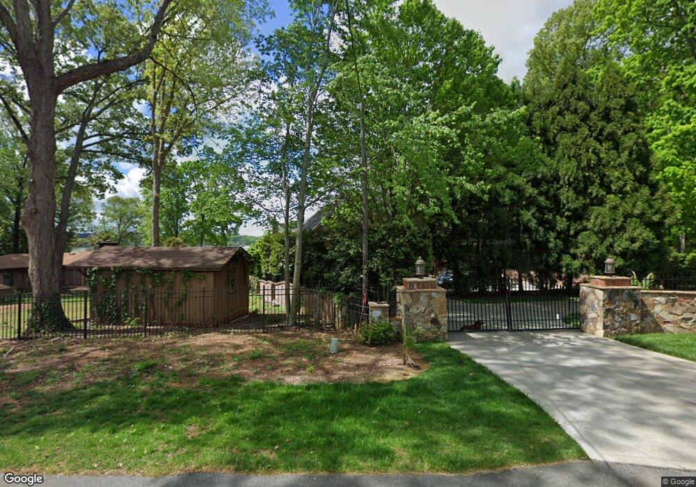
1995 Captains Way Denver, NC 28037
Estimated Value: $2,177,000 - $2,955,373
4
Beds
5
Baths
4,559
Sq Ft
$557/Sq Ft
Est. Value
About This Home
This home is located at 1995 Captains Way, Denver, NC 28037 and is currently estimated at $2,539,843, approximately $557 per square foot. 1995 Captains Way is a home located in Lincoln County with nearby schools including St. James Elementary School, East Lincoln Middle School, and East Lincoln High School.
Ownership History
Date
Name
Owned For
Owner Type
Purchase Details
Closed on
Oct 17, 2016
Sold by
Lee Roger Steve and Lee Carole Bancroft
Bought by
Waldrep Benjamin C and Waldrep Jacqueline
Current Estimated Value
Home Financials for this Owner
Home Financials are based on the most recent Mortgage that was taken out on this home.
Original Mortgage
$1,080,000
Outstanding Balance
$866,919
Interest Rate
3.5%
Mortgage Type
New Conventional
Estimated Equity
$1,672,924
Create a Home Valuation Report for This Property
The Home Valuation Report is an in-depth analysis detailing your home's value as well as a comparison with similar homes in the area
Home Values in the Area
Average Home Value in this Area
Purchase History
| Date | Buyer | Sale Price | Title Company |
|---|---|---|---|
| Waldrep Benjamin C | $1,350,000 | Chicago Title |
Source: Public Records
Mortgage History
| Date | Status | Borrower | Loan Amount |
|---|---|---|---|
| Open | Waldrep Benjamin C | $1,080,000 |
Source: Public Records
Tax History Compared to Growth
Tax History
| Year | Tax Paid | Tax Assessment Tax Assessment Total Assessment is a certain percentage of the fair market value that is determined by local assessors to be the total taxable value of land and additions on the property. | Land | Improvement |
|---|---|---|---|---|
| 2025 | $12,049 | $1,971,614 | $553,473 | $1,418,141 |
| 2024 | $11,977 | $1,971,614 | $553,473 | $1,418,141 |
| 2023 | $11,972 | $1,971,614 | $553,473 | $1,418,141 |
| 2022 | $9,388 | $1,254,849 | $331,201 | $923,648 |
| 2021 | $9,451 | $1,254,849 | $331,201 | $923,648 |
| 2020 | $8,746 | $1,254,849 | $331,201 | $923,648 |
| 2019 | $8,339 | $1,196,442 | $331,201 | $865,241 |
| 2018 | $7,040 | $991,221 | $325,917 | $665,304 |
| 2017 | $6,939 | $991,221 | $325,917 | $665,304 |
| 2016 | $6,232 | $894,160 | $325,917 | $568,243 |
| 2015 | $6,937 | $894,160 | $325,917 | $568,243 |
| 2014 | $6,614 | $952,289 | $373,937 | $578,352 |
Source: Public Records
Map
Nearby Homes
- 8194 Mallard Rd
- 1890 Yacht Club Dr
- 2121 Regatta Ln Unit 209
- 8813 Graham Rd
- 8188 Normandy Rd
- 1765 Dogwood Hill Dr
- 2369 Stardust Ct
- 8473 Bing Cherry Dr
- 8360 Ulster Ct
- 8244 Lambert Ct
- 8229 Lambert Ct
- 8518 Christalina Ln
- 2611 Ranger Island Rd Unit 5
- 8146 Viscount Ct
- 8176 Viscount Ct
- 8111 Rainier Dr
- 8181 Bright Water Ln
- Lot 2 Conner Cove Ln
- 8260 Graham Rd
- 8397 Ranger Island Marina Rd
- 1989 Captains Way
- 1979 Captains Way
- 1996 Captains Way
- 8230 Mallard Rd
- 2004 Captains Way
- 1987 Yacht Club Dr
- 1993 Yacht Club Dr
- Lot 3 Captains Way
- 1953 Yacht Club Dr
- 2005 Yacht Club Dr
- 8216 Mallard Rd
- 1949 Yacht Club Dr
- 1965 Yacht Club Dr
- 1984 Yacht Club Dr
- 1972 Yacht Club Dr
- 8160 Mallard Rd
- 8150 Mallard Rd
- 1996 Yacht Club Dr
- 1946 Yacht Club Dr
- 1939 Yacht Club Dr