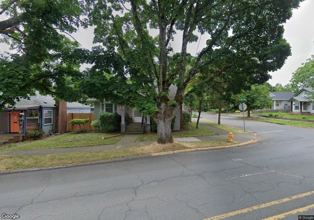
1995 D St NE Salem, OR 97301
Northeast Neighbors NeighborhoodEstimated Value: $328,000 - $370,000
2
Beds
1
Bath
1,048
Sq Ft
$332/Sq Ft
Est. Value
About This Home
This home is located at 1995 D St NE, Salem, OR 97301 and is currently estimated at $347,553, approximately $331 per square foot. 1995 D St NE is a home located in Marion County with nearby schools including Englewood Elementary School, Parrish Middle School, and North Salem High School.
Ownership History
Date
Name
Owned For
Owner Type
Purchase Details
Closed on
Oct 11, 2004
Sold by
Ventura Lois J and Williams Helen S
Bought by
Davis Jeffrey Michael and Davis Chelsea Anne
Current Estimated Value
Home Financials for this Owner
Home Financials are based on the most recent Mortgage that was taken out on this home.
Original Mortgage
$113,124
Outstanding Balance
$56,025
Interest Rate
5.77%
Mortgage Type
FHA
Estimated Equity
$291,528
Create a Home Valuation Report for This Property
The Home Valuation Report is an in-depth analysis detailing your home's value as well as a comparison with similar homes in the area
Home Values in the Area
Average Home Value in this Area
Purchase History
| Date | Buyer | Sale Price | Title Company |
|---|---|---|---|
| Davis Jeffrey Michael | $114,900 | Fidelity Natl Title Co Of Or |
Source: Public Records
Mortgage History
| Date | Status | Borrower | Loan Amount |
|---|---|---|---|
| Open | Davis Jeffrey Michael | $113,124 |
Source: Public Records
Tax History Compared to Growth
Tax History
| Year | Tax Paid | Tax Assessment Tax Assessment Total Assessment is a certain percentage of the fair market value that is determined by local assessors to be the total taxable value of land and additions on the property. | Land | Improvement |
|---|---|---|---|---|
| 2025 | $2,918 | $153,070 | -- | -- |
| 2024 | $2,918 | $148,620 | -- | -- |
| 2023 | $2,832 | $144,300 | $0 | $0 |
| 2022 | $2,670 | $140,100 | $0 | $0 |
| 2021 | $2,594 | $136,020 | $0 | $0 |
| 2020 | $2,518 | $132,060 | $0 | $0 |
| 2019 | $2,430 | $128,220 | $0 | $0 |
| 2018 | $2,473 | $0 | $0 | $0 |
| 2017 | $2,232 | $0 | $0 | $0 |
| 2016 | $2,126 | $0 | $0 | $0 |
| 2015 | $2,142 | $0 | $0 | $0 |
| 2014 | $2,073 | $0 | $0 | $0 |
Source: Public Records
Map
Nearby Homes
- 664 Thompson Ave NE Unit 672
- 1155 18th St NE
- 1675 B St NE
- 637 17th St NE
- 1060 15th St NE
- 745 16th St NE
- 1212 23rd St NE
- 575 23rd St NE
- 578 23rd St NE
- 562 21st St NE
- 1515 19th St NE
- 1965 Breyman St NE
- 925 14th St NE Unit 935
- 1425 17th St NE
- 1029 Evergreen Ave NE
- 1760 Norway St NE
- 1420 Olive St NE
- 398 21st St NE
- 2704 D St NE
- 1555 Pearl St NE
- 1975 D St NE
- 1951 D St NE
- 965 20th St NE
- 1970 Kansas Ave NE
- 895 Thompson Ave NE
- 960 20th St NE
- 980 20th St NE
- 1948 D St NE
- 885 Thompson Ave NE
- 990 20th St NE
- 940 19th St NE
- 930 19th St NE
- 960 19th St NE
- 898 Breys Ave NE
- 920 19th St NE
- 898 Thompson Ave NE
- 875 Thompson Ave NE Unit 877
- 875 & 877 Thompson Ave
- 1015 20th St NE
- 880 Thompson Ave NE