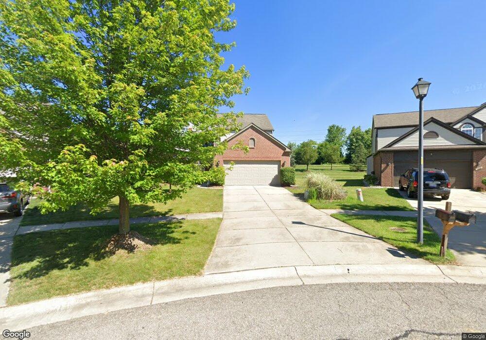
1995 Frances Way Ypsilanti, MI 48198
Estimated Value: $458,339 - $555,000
4
Beds
3
Baths
2,484
Sq Ft
$198/Sq Ft
Est. Value
About This Home
This home is located at 1995 Frances Way, Ypsilanti, MI 48198 and is currently estimated at $491,085, approximately $197 per square foot. 1995 Frances Way is a home located in Washtenaw County with nearby schools including Holmes Elementary School, Erickson Elementary School, and Estabrook Elementary School.
Ownership History
Date
Name
Owned For
Owner Type
Purchase Details
Closed on
Nov 14, 2011
Sold by
Prudential Relocation Inc
Bought by
Chewter Alan J
Current Estimated Value
Purchase Details
Closed on
Nov 5, 2011
Sold by
Rahaw Thomas A and Rebic Rahaw Dana N
Bought by
Prudential Relocation Inc
Purchase Details
Closed on
Nov 18, 2005
Sold by
Pulte Land Co Llc
Bought by
Rahaw Thomas A and Rebic Rahaw Dana N
Create a Home Valuation Report for This Property
The Home Valuation Report is an in-depth analysis detailing your home's value as well as a comparison with similar homes in the area
Home Values in the Area
Average Home Value in this Area
Purchase History
| Date | Buyer | Sale Price | Title Company |
|---|---|---|---|
| Chewter Alan J | $180,500 | Stewart Title Guaranty Co | |
| Prudential Relocation Inc | $180,500 | Stewart Title Agency | |
| Rahaw Thomas A | $175,000 | Metropolitan Title Company |
Source: Public Records
Tax History Compared to Growth
Tax History
| Year | Tax Paid | Tax Assessment Tax Assessment Total Assessment is a certain percentage of the fair market value that is determined by local assessors to be the total taxable value of land and additions on the property. | Land | Improvement |
|---|---|---|---|---|
| 2025 | $4,323 | $219,400 | $0 | $0 |
| 2024 | $3,088 | $199,600 | $0 | $0 |
| 2023 | $3,010 | $174,400 | $0 | $0 |
| 2022 | $4,416 | $162,100 | $0 | $0 |
| 2021 | $4,281 | $157,400 | $0 | $0 |
| 2020 | $4,236 | $153,800 | $0 | $0 |
| 2019 | $4,128 | $135,800 | $135,800 | $0 |
| 2018 | $3,683 | $125,100 | $15,500 | $109,600 |
| 2017 | $3,536 | $123,900 | $0 | $0 |
| 2016 | $2,605 | $93,753 | $0 | $0 |
| 2015 | $3,203 | $93,473 | $0 | $0 |
| 2014 | $3,203 | $89,100 | $0 | $0 |
| 2013 | -- | $89,100 | $0 | $0 |
Source: Public Records
Map
Nearby Homes
- 7603 Abigail Dr
- 7518 Myrtle Ct
- The Austin Plan at The Estates at Hutsfield
- The Harrison Plan at The Estates at Hutsfield
- The Davenport Plan at The Estates at Hutsfield
- The Columbia Plan at The Estates at Hutsfield
- The Bloomington Plan at The Estates at Hutsfield
- 1951 Elizabeth Ln
- 7453 Abigail Dr
- 7459 Abigail Dr
- 7444 Abigail Dr
- 1924 Maggie Ln
- 1914 Maggie Ln
- 1910 Maggie Ln
- 1896 Maggie Ln
- 1961 Elizabeth Ln
- 1964 Elizabeth Ln
- 8543 Barrington Dr
- 7360 Geddes Rd
- 8522 Berkshire Dr
- 1993 Frances Way
- 2000 Frances Way
- 1989 Frances Way
- 1996 Frances Way
- 1983 Frances Way
- 1994 Frances Way
- 1990 Frances Way
- 1979 Frances Way Unit Bldg-Unit
- 1979 Frances Way
- 7905 Geddes Rd
- 1986 Frances Way
- 1975 Frances Way
- 1982 Frances Way
- 7594 Abigail Dr
- 7596 Abigail Dr
- 7592 Abigail Dr
- 7600 Abigail Dr
- 7590 Abigail Dr
- 1971 Frances Way
- 7610 Abigail Dr