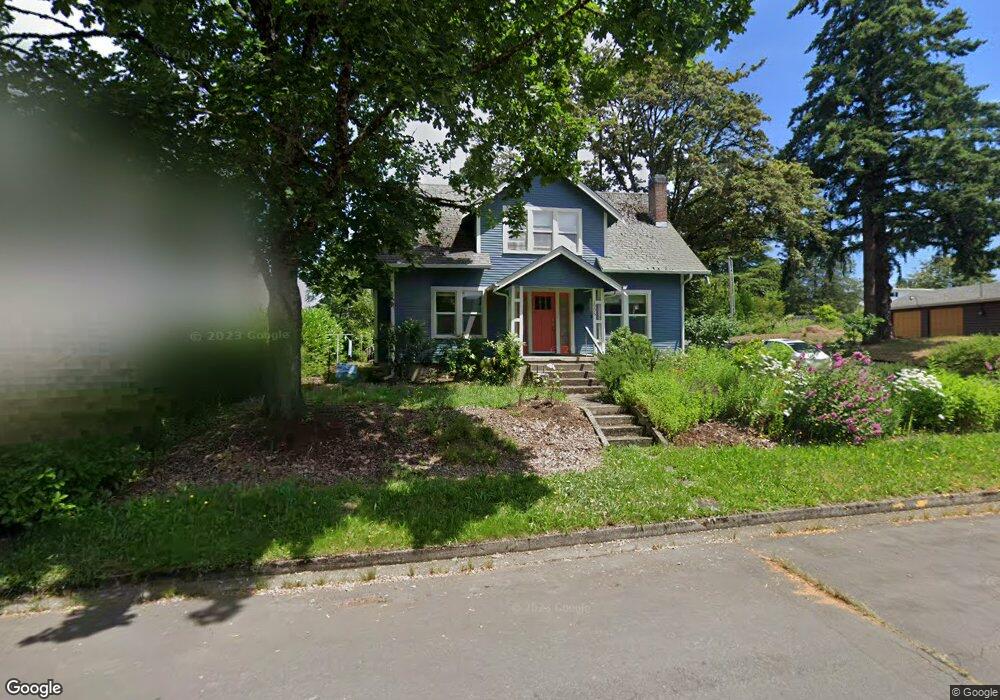
1995 Monroe St Eugene, OR 97405
Friendly NeighborhoodEstimated Value: $568,000 - $642,000
4
Beds
2
Baths
1,624
Sq Ft
$365/Sq Ft
Est. Value
About This Home
This home is located at 1995 Monroe St, Eugene, OR 97405 and is currently estimated at $591,981, approximately $364 per square foot. 1995 Monroe St is a home located in Lane County with nearby schools including Adams Elementary School, Roosevelt Middle School, and South Eugene High School.
Ownership History
Date
Name
Owned For
Owner Type
Purchase Details
Closed on
Jun 28, 2016
Sold by
Bell Margaret Lu
Bought by
Phelan Grace M and Wood Mary E
Current Estimated Value
Home Financials for this Owner
Home Financials are based on the most recent Mortgage that was taken out on this home.
Original Mortgage
$256,000
Outstanding Balance
$203,261
Interest Rate
3.58%
Mortgage Type
New Conventional
Estimated Equity
$388,720
Purchase Details
Closed on
Jul 16, 2015
Sold by
Lisson Kerlin Sue
Bought by
Bell Margaret Lu and Kerlin S Lisson Family Trust
Purchase Details
Closed on
Nov 3, 1999
Sold by
Lisson Kerlin Sue
Bought by
Lisson Jack
Create a Home Valuation Report for This Property
The Home Valuation Report is an in-depth analysis detailing your home's value as well as a comparison with similar homes in the area
Home Values in the Area
Average Home Value in this Area
Purchase History
| Date | Buyer | Sale Price | Title Company |
|---|---|---|---|
| Phelan Grace M | $320,000 | Western Title & Escrow Co | |
| Bell Margaret Lu | -- | None Available | |
| Lisson Jack | -- | Cascade Title Co |
Source: Public Records
Mortgage History
| Date | Status | Borrower | Loan Amount |
|---|---|---|---|
| Open | Phelan Grace M | $256,000 |
Source: Public Records
Tax History
| Year | Tax Paid | Tax Assessment Tax Assessment Total Assessment is a certain percentage of the fair market value that is determined by local assessors to be the total taxable value of land and additions on the property. | Land | Improvement |
|---|---|---|---|---|
| 2025 | $4,828 | $247,804 | -- | -- |
| 2024 | $4,768 | $240,587 | -- | -- |
| 2023 | $4,768 | $233,580 | $0 | $0 |
| 2022 | $4,467 | $226,777 | $0 | $0 |
| 2021 | $4,196 | $220,172 | $0 | $0 |
| 2020 | $4,210 | $213,760 | $0 | $0 |
| 2019 | $4,066 | $207,534 | $0 | $0 |
| 2018 | $3,828 | $195,621 | $0 | $0 |
| 2017 | $3,656 | $195,621 | $0 | $0 |
| 2016 | $3,190 | $169,935 | $0 | $0 |
| 2015 | $3,099 | $164,985 | $0 | $0 |
| 2014 | $3,036 | $160,180 | $0 | $0 |
Source: Public Records
Map
Nearby Homes
- 1924 Friendly St
- 0 Monroe St Unit 343774498
- 557 W 19th Ave
- 623 W 18th Ave
- 2095 Polk St
- 870 W 25th Ave
- 1890 Taylor St
- 537 W 14th Ave
- 180 W 23rd Ave
- 2031 Olive St
- 1612 Polk St
- 1673 Olive Aly
- 2223 Olive St
- 1275 Jefferson St
- 951 W 27th Ave
- 650 W 12th Ave Unit 102
- 1313 Lincoln St Unit 503
- 1313 Lincoln St Unit 1005
- 1313 Lincoln St Unit 401
- 710 W 11th Ave
- 1985 Monroe St
- 1960 Madison Aly
- 2011 Monroe St
- 1980 Madison St
- 1951 Monroe St
- 1992 Madison St
- 1964 Madison St
- 740 W 20th Ave
- 1980 Monroe St
- 2051 Monroe St
- 1954 Monroe St
- 2010 Monroe St
- 1948 Madison St
- 2050 Madison St
- 770 W 19th Ave
- 790 W 19th Ave
- 750 W 19th Ave
- 1950 Monroe St
- 2020 Monroe St
- 1930 Madison St
Your Personal Tour Guide
Ask me questions while you tour the home.