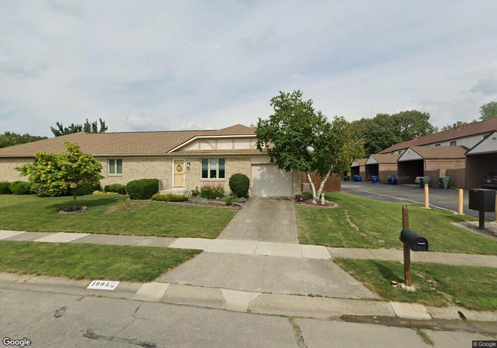
1995 Queensgate Ln Columbus, OH 43235
The Gables NeighborhoodEstimated Value: $293,000 - $375,000
2
Beds
2
Baths
1,227
Sq Ft
$266/Sq Ft
Est. Value
About This Home
This home is located at 1995 Queensgate Ln, Columbus, OH 43235 and is currently estimated at $326,726, approximately $266 per square foot. 1995 Queensgate Ln is a home located in Franklin County with nearby schools including Daniel Wright Elementary School, Ann Simpson Davis Middle School, and Dublin Scioto High School.
Ownership History
Date
Name
Owned For
Owner Type
Purchase Details
Closed on
Aug 12, 2004
Sold by
Salmons William H and Salmons Mary Ann
Bought by
Wanner Lynne F
Current Estimated Value
Home Financials for this Owner
Home Financials are based on the most recent Mortgage that was taken out on this home.
Original Mortgage
$80,000
Outstanding Balance
$38,746
Interest Rate
6.08%
Mortgage Type
Purchase Money Mortgage
Estimated Equity
$287,980
Purchase Details
Closed on
Feb 28, 1995
Sold by
Meinrod Dorothy H
Bought by
Salmons William H and Salmons Mary Ann
Home Financials for this Owner
Home Financials are based on the most recent Mortgage that was taken out on this home.
Original Mortgage
$46,000
Interest Rate
8.38%
Mortgage Type
New Conventional
Purchase Details
Closed on
Oct 1, 1990
Create a Home Valuation Report for This Property
The Home Valuation Report is an in-depth analysis detailing your home's value as well as a comparison with similar homes in the area
Home Values in the Area
Average Home Value in this Area
Purchase History
| Date | Buyer | Sale Price | Title Company |
|---|---|---|---|
| Wanner Lynne F | $130,000 | Chicago Tit | |
| Salmons William H | $93,000 | -- | |
| -- | $85,000 | -- |
Source: Public Records
Mortgage History
| Date | Status | Borrower | Loan Amount |
|---|---|---|---|
| Open | Wanner Lynne F | $80,000 | |
| Previous Owner | Salmons William H | $46,000 |
Source: Public Records
Tax History
| Year | Tax Paid | Tax Assessment Tax Assessment Total Assessment is a certain percentage of the fair market value that is determined by local assessors to be the total taxable value of land and additions on the property. | Land | Improvement |
|---|---|---|---|---|
| 2025 | $4,606 | $76,160 | $21,000 | $55,160 |
| 2024 | $4,606 | $76,160 | $21,000 | $55,160 |
| 2023 | $4,541 | $76,160 | $21,000 | $55,160 |
| 2022 | $4,007 | $62,450 | $19,710 | $42,740 |
| 2021 | $4,072 | $62,450 | $19,710 | $42,740 |
| 2020 | $4,048 | $62,450 | $19,710 | $42,740 |
| 2019 | $3,657 | $49,950 | $15,750 | $34,200 |
| 2018 | $3,456 | $49,950 | $15,750 | $34,200 |
| 2017 | $3,376 | $49,950 | $15,750 | $34,200 |
| 2016 | $3,222 | $44,770 | $11,270 | $33,500 |
| 2015 | $3,242 | $44,770 | $11,270 | $33,500 |
| 2014 | $3,245 | $44,770 | $11,270 | $33,500 |
| 2013 | $1,569 | $42,630 | $10,745 | $31,885 |
Source: Public Records
Map
Nearby Homes
- 5374 Tartan Ln Unit 33
- 5258 Captains Ct Unit E
- 5354 Shannon Ln Unit 71
- 2176 Hedgerow Rd Unit 2176D
- 5331 Bethel Park Dr
- 5672 Fraley Ct
- 5094 Reed Rd
- 5273 Berrywood Dr Unit 5273
- 5624 Wigmore Dr Unit 50B
- 5109 Ranstead Ct Unit 9
- 5107 Delancey St
- 5285 Portland St Unit 104
- 2260 Lila Way Unit 62D
- 5354 Coral Berry Dr Unit 79C
- 2010 Willoway Ct N Unit 2010
- 5376 Amy Ln
- 2515 Dahlia Way Unit 64C
- 1883 Willoway Cir N Unit 1883
- 5294 Brandy Oaks Ln
- 1916 Willoway Cir S
- 1987 Bayswater Dr
- 1994 Drury Ln Unit 1994
- 1975 Bayswater Dr
- 1992 Drury Ln Unit 1992
- 1996 Drury Ln
- 1990 Drury Ln Unit 1990
- 1986 Drury Ln Unit 1986
- 2000 Queensgate Ln
- 1988 Drury Ln
- 1973 Bayswater Dr
- 2012 Queensgate Ln
- 1984 Drury Ln Unit 1984
- 2005 Bayswater Dr
- 1982 Drury Ln
- 2014 Queensgate Ln Unit 2014
- 1961 Bayswater Dr Unit 1961
- 1976 Drury Ln Unit 1976
- 5475 Gardenbrooke St
- 1959 Bayswater Dr Unit 961
- 1959-1961 Bayswater Dr
Your Personal Tour Guide
Ask me questions while you tour the home.