Estimated Value: $739,000 - $1,717,000
--
Bed
--
Bath
1,767
Sq Ft
$703/Sq Ft
Est. Value
About This Home
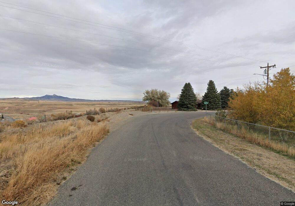
This home is located at 1995 S Fork Rd, Cody, WY 82414 and is currently estimated at $1,241,632, approximately $702 per square foot. 1995 S Fork Rd is a home located in Park County with nearby schools including Cody Middle School and Cody High School.
Ownership History
Date
Name
Owned For
Owner Type
Purchase Details
Closed on
Apr 6, 2018
Sold by
Wright Real Estate Llc
Bought by
Southfork Valley Lodge
Current Estimated Value
Home Financials for this Owner
Home Financials are based on the most recent Mortgage that was taken out on this home.
Original Mortgage
$900,000
Outstanding Balance
$774,344
Interest Rate
4.46%
Mortgage Type
Stand Alone Refi Refinance Of Original Loan
Estimated Equity
$467,288
Create a Home Valuation Report for This Property
The Home Valuation Report is an in-depth analysis detailing your home's value as well as a comparison with similar homes in the area
Home Values in the Area
Average Home Value in this Area
Purchase History
| Date | Buyer | Sale Price | Title Company |
|---|---|---|---|
| Southfork Valley Lodge | -- | -- |
Source: Public Records
Mortgage History
| Date | Status | Borrower | Loan Amount |
|---|---|---|---|
| Open | Southfork Valley Lodge | $900,000 |
Source: Public Records
Tax History Compared to Growth
Tax History
| Year | Tax Paid | Tax Assessment Tax Assessment Total Assessment is a certain percentage of the fair market value that is determined by local assessors to be the total taxable value of land and additions on the property. | Land | Improvement |
|---|---|---|---|---|
| 2025 | $5,280 | $75,976 | $12,878 | $63,098 |
| 2024 | $6,556 | $94,332 | $15,214 | $79,118 |
| 2023 | $6,356 | $91,448 | $14,545 | $76,903 |
| 2022 | $5,354 | $76,371 | $12,763 | $63,608 |
| 2021 | $3,579 | $51,123 | $11,734 | $39,389 |
| 2020 | $3,311 | $47,294 | $10,187 | $37,107 |
| 2019 | $2,990 | $42,709 | $9,587 | $33,122 |
| 2018 | $5,160 | $73,708 | $41,752 | $31,956 |
| 2017 | $5,258 | $75,108 | $41,752 | $33,356 |
| 2016 | $4,921 | $70,305 | $38,654 | $31,651 |
| 2015 | $4,809 | $67,728 | $38,654 | $29,074 |
| 2014 | $4,541 | $66,951 | $40,459 | $26,492 |
Source: Public Records
Map
Nearby Homes
- TBD Josie Ln
- 6 Whitney Dr
- Tbd Josie Ln
- 3225 Lame Deer Ave
- 366 6qs Rd
- 30 Carter Mountain Rd
- 41 Carter Mountain Rd
- 249 Lower Southfork Rd
- 272 Road 6rt
- 46 Hedrick Spring Rd
- 26 Hedrick Spring Rd
- TBD Wapiti Estates Dr Unit 5
- TBD Wapiti Estates Dr Unit 13
- 8 Stagecoach Trail
- tbd Wapiti Estates Dr S Unit 2
- 3080 & 3064 N Fork Hwy
- TBD Campbell Ln
- TBD Aerie Dr Unit 117
- 0 Tbd Aerie Dr
- Lot 105 Laurel Dr Unit Lot 105