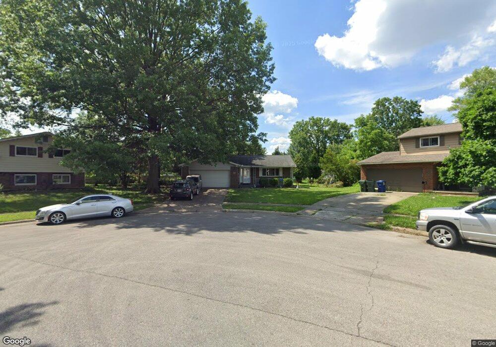
1996 Cannington Ct Columbus, OH 43229
Forest Park East NeighborhoodEstimated Value: $264,379 - $310,000
4
Beds
2
Baths
1,235
Sq Ft
$237/Sq Ft
Est. Value
About This Home
This home is located at 1996 Cannington Ct, Columbus, OH 43229 and is currently estimated at $292,595, approximately $236 per square foot. 1996 Cannington Ct is a home located in Franklin County with nearby schools including Northtowne Elementary School, Woodward Park Middle School, and Northland High School.
Ownership History
Date
Name
Owned For
Owner Type
Purchase Details
Closed on
Jul 2, 2013
Sold by
Smith Cynthia M
Bought by
Smith Robert E
Current Estimated Value
Purchase Details
Closed on
Mar 19, 1992
Bought by
Smith Robert E
Purchase Details
Closed on
Jan 21, 1988
Create a Home Valuation Report for This Property
The Home Valuation Report is an in-depth analysis detailing your home's value as well as a comparison with similar homes in the area
Home Values in the Area
Average Home Value in this Area
Purchase History
| Date | Buyer | Sale Price | Title Company |
|---|---|---|---|
| Smith Robert E | -- | None Available | |
| Smith Robert E | $84,700 | -- | |
| -- | $71,500 | -- |
Source: Public Records
Tax History
| Year | Tax Paid | Tax Assessment Tax Assessment Total Assessment is a certain percentage of the fair market value that is determined by local assessors to be the total taxable value of land and additions on the property. | Land | Improvement |
|---|---|---|---|---|
| 2025 | $3,877 | $86,390 | $23,350 | $63,040 |
| 2024 | $3,877 | $86,390 | $23,350 | $63,040 |
| 2023 | $3,828 | $86,380 | $23,345 | $63,035 |
| 2022 | $2,734 | $52,710 | $12,040 | $40,670 |
| 2021 | $2,739 | $52,710 | $12,040 | $40,670 |
| 2020 | $2,742 | $52,710 | $12,040 | $40,670 |
| 2019 | $2,516 | $41,480 | $9,630 | $31,850 |
| 2018 | $2,505 | $41,480 | $9,630 | $31,850 |
| 2017 | $2,515 | $41,480 | $9,630 | $31,850 |
| 2016 | $2,752 | $41,550 | $9,490 | $32,060 |
| 2015 | $2,499 | $41,550 | $9,490 | $32,060 |
| 2014 | $2,505 | $41,550 | $9,490 | $32,060 |
| 2013 | $1,356 | $45,605 | $9,975 | $35,630 |
Source: Public Records
Map
Nearby Homes
- 1905 Denise Dr
- 4885 Northtowne Blvd
- 4979 Lyle Rd
- 2177 Margo Rd
- 4852 Snowbird Cir Unit 13B
- 1685 Norma Rd
- 2251 Tuliptree Ave
- 4923 Karl Rd Unit 4925
- 4909-4911 Karl Rd
- 5004 Julie Place
- 5010 Julie Place
- 1485 Norma Rd
- 4795 Colonel Perry Dr
- 1638 Arrowood Loop N
- 2087 Teakwood Dr
- 0 Chester Rd
- 0 Abington Rd Unit 225045775
- 0 Abington Rd Unit 224031704
- 0 Abington Rd Unit 224031738
- 0 Abington Rd Unit 224031699
- 2002 Cannington Ct
- 4852 Heaton Rd
- 1995 Cannington Ct
- 4844 Heaton Rd
- 1985 Brittany Rd
- 1993 Brittany Rd
- 4860 Heaton Rd
- 2010 Cannington Ct
- 2001 Brittany Rd
- 1975 Brittany Rd
- 4836 Heaton Rd
- 2009 Brittany Rd
- 1999 Cannington Ct
- 1963 Brittany Rd
- 2018 Cannington Ct
- 2007 Cannington Ct
- 4828 Heaton Rd
- 2017 Brittany Rd
- 2015 Cannington Ct
- 2026 Cannington Ct
Your Personal Tour Guide
Ask me questions while you tour the home.