Estimated Value: $1,522,000 - $1,675,000
Studio
--
Bath
3,793
Sq Ft
$421/Sq Ft
Est. Value
About This Home
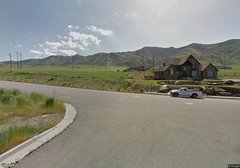
This home is located at 1996 E 3075 N Unit 40, Logan, UT 84341 and is currently estimated at $1,598,522, approximately $421 per square foot. 1996 E 3075 N Unit 40 is a home located in Cache County with nearby schools including Greenville School, Cedar Ridge School, and North Cache Middle School.
Ownership History
Date
Name
Owned For
Owner Type
Purchase Details
Closed on
Aug 11, 2010
Sold by
Stokes Mark C
Bought by
Stokes Mark C and Stokes Lisa F
Current Estimated Value
Home Financials for this Owner
Home Financials are based on the most recent Mortgage that was taken out on this home.
Original Mortgage
$417,000
Outstanding Balance
$274,317
Interest Rate
4.52%
Mortgage Type
New Conventional
Estimated Equity
$1,324,205
Purchase Details
Closed on
Mar 25, 2008
Sold by
Professional Builders Inc
Bought by
Willis Terry E and Willis Jeannie
Purchase Details
Closed on
Aug 30, 2006
Sold by
Foothills North Llc
Bought by
Professional Builders Inc
Create a Home Valuation Report for This Property
The Home Valuation Report is an in-depth analysis detailing your home's value as well as a comparison with similar homes in the area
Home Values in the Area
Average Home Value in this Area
Purchase History
| Date | Buyer | Sale Price | Title Company |
|---|---|---|---|
| Stokes Mark C | -- | Hickman Land Title Company | |
| Stokes Mark C | -- | Hickman Land Title Company | |
| Willis Terry E | -- | None Available | |
| Professional Builders Inc | -- | Northern Title Company |
Source: Public Records
Mortgage History
| Date | Status | Borrower | Loan Amount |
|---|---|---|---|
| Open | Stokes Mark C | $417,000 |
Source: Public Records
Tax History
| Year | Tax Paid | Tax Assessment Tax Assessment Total Assessment is a certain percentage of the fair market value that is determined by local assessors to be the total taxable value of land and additions on the property. | Land | Improvement |
|---|---|---|---|---|
| 2025 | $6,977 | $976,605 | $0 | $0 |
| 2024 | $7,478 | $974,095 | $0 | $0 |
| 2023 | $6,411 | $781,495 | $0 | $0 |
| 2022 | $6,710 | $781,495 | $0 | $0 |
| 2021 | $5,056 | $912,922 | $88,500 | $824,422 |
| 2020 | $4,756 | $805,389 | $88,500 | $716,889 |
| 2019 | $4,981 | $805,388 | $88,500 | $716,888 |
| 2018 | $4,875 | $764,316 | $75,000 | $689,316 |
| 2017 | $5,004 | $412,940 | $0 | $0 |
| 2016 | $5,082 | $295,915 | $0 | $0 |
| 2015 | $3,655 | $295,915 | $0 | $0 |
| 2014 | $3,569 | $295,915 | $0 | $0 |
| 2013 | -- | $295,915 | $0 | $0 |
Source: Public Records
Map
Nearby Homes
- 1990 E Canyon Ridge Dr
- 2827 E Viewcrest Cir
- 2275 E Meadow Lark Ln N
- 105 E 3100 N
- 2573 N 2300 E Unit 45
- 2517 N 2050 E
- 2516 N 2300 E Unit 63
- 78 S 1000 E Unit 115
- 94 S 950 E
- 108 S 900 E
- 86 S 950 E
- 1128 E 50 N Unit 81
- 124 N 1140 E
- 894 E 130 N Unit 17
- 866 E 130 N
- 1154 E 160 N
- 1153 E 160 N
- 108 N 900 E
- 1495 E 2300 N
- 710 E 100 S
- 1996 E 3075 N Unit 40
- 1996 E 3075 N
- 1988 E 3075 N
- 2016 E 3075 N
- 1993 Meadowlark Ln Unit 43
- 2015 E 3075 N Unit 37
- 1971 E 3025 N
- 1997 E 3075 N Unit 38
- 3039 N 2050 E
- 2975 N Ridge View Dr
- 2771 N Ridge View Dr Unit 20
- 2949 N Ridge View Dr Unit 4
- 2931 N Ridge View Dr Unit 5
- 1949 E 3025 N
- 1998 E 3025 N
- 1998 E 3025 N Unit 29
- 1976 E 3025 N
- 3086 N 2050 E
- 3066 N 2050 E
- 3009 N 2050 E
Your Personal Tour Guide
Ask me questions while you tour the home.