1996 Hawks Nest Dr Unit 20 Port Orange, FL 32128
Samsula-Spruce Creek NeighborhoodEstimated Value: $872,000 - $1,115,561
3
Beds
3
Baths
4,359
Sq Ft
$226/Sq Ft
Est. Value
About This Home
This home is located at 1996 Hawks Nest Dr Unit 20, Port Orange, FL 32128 and is currently estimated at $984,140, approximately $225 per square foot. 1996 Hawks Nest Dr Unit 20 is a home located in Volusia County with nearby schools including Cypress Creek Elementary School, Creekside Middle School, and Spruce Creek High School.
Ownership History
Date
Name
Owned For
Owner Type
Purchase Details
Closed on
Mar 28, 2013
Sold by
Michael Jeffrey Ross and Michael Anna B
Bought by
Michael Anna B
Current Estimated Value
Purchase Details
Closed on
Feb 4, 2002
Sold by
Wlyate Ed
Bought by
Michael Jeffrey Ross and Michael Anna B
Home Financials for this Owner
Home Financials are based on the most recent Mortgage that was taken out on this home.
Original Mortgage
$356,000
Outstanding Balance
$148,242
Interest Rate
7.16%
Estimated Equity
$835,898
Purchase Details
Closed on
Jul 30, 2001
Sold by
Eagles Crest W Inc
Bought by
Edward Ulyate Family Tr
Create a Home Valuation Report for This Property
The Home Valuation Report is an in-depth analysis detailing your home's value as well as a comparison with similar homes in the area
Home Values in the Area
Average Home Value in this Area
Purchase History
| Date | Buyer | Sale Price | Title Company |
|---|---|---|---|
| Michael Anna B | -- | Attorney | |
| Michael Jeffrey Ross | $445,000 | -- | |
| Edward Ulyate Family Tr | $343,400 | -- |
Source: Public Records
Mortgage History
| Date | Status | Borrower | Loan Amount |
|---|---|---|---|
| Open | Michael Jeffrey Ross | $356,000 |
Source: Public Records
Tax History Compared to Growth
Tax History
| Year | Tax Paid | Tax Assessment Tax Assessment Total Assessment is a certain percentage of the fair market value that is determined by local assessors to be the total taxable value of land and additions on the property. | Land | Improvement |
|---|---|---|---|---|
| 2025 | $7,764 | $486,976 | -- | -- |
| 2024 | $7,764 | $473,252 | -- | -- |
| 2023 | $7,764 | $459,468 | $0 | $0 |
| 2022 | $7,671 | $446,085 | $0 | $0 |
| 2021 | $7,977 | $433,092 | $0 | $0 |
| 2020 | $7,863 | $427,112 | $0 | $0 |
| 2019 | $8,057 | $417,509 | $0 | $0 |
| 2018 | $8,027 | $409,724 | $0 | $0 |
| 2017 | $8,088 | $401,297 | $0 | $0 |
| 2016 | $8,400 | $393,043 | $0 | $0 |
| 2015 | $8,574 | $390,311 | $0 | $0 |
| 2014 | $8,454 | $387,213 | $0 | $0 |
Source: Public Records
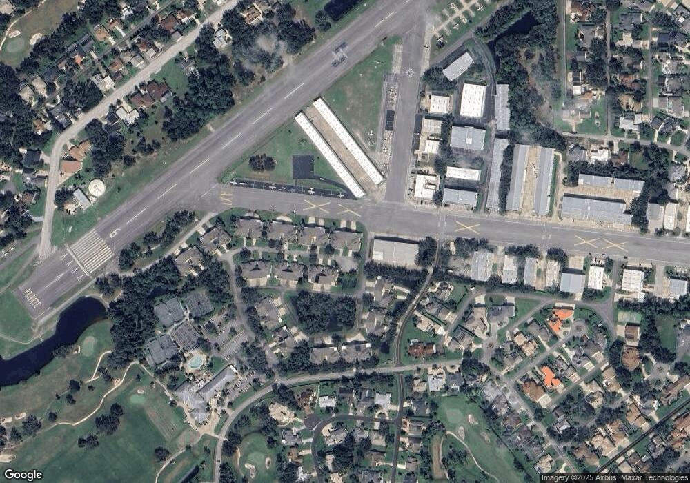
Map
Nearby Homes
- 14 Taxiway Lindy
- 2633 Slow Flight Dr
- 2540 Tail Spin Trail
- 1889 Seclusion Dr
- 1882 Royal Lytham Ct
- 1888 Seclusion Dr
- 2536 Tail Spin Trail
- 52 Taxiway Lindy Loop
- 1978 Country Club Dr
- 56 Lazy Eight Dr
- 1885 Silver Fern Dr Unit 15
- 1879 Silver Fern Dr
- 3311 Oak Vista Dr
- 1795 Earhart Ct
- 3184 Royal Birkdale Way
- 1787 Earhart Ct
- 1995 Royal Saint George Ct
- 1981 Rutgers Place
- 1981 Rutgers Place Unit 49
- 1991 Rutgers Place Unit 44
- 1998 Hawks Nest Dr Unit 19
- 1994 Hawks Nest Dr
- 217 Cessna Blvd
- 193 Cessna Blvd Unit 5
- 1999 Hawks Nest Dr Unit 18
- 1992 Hawks Nest Dr Unit 22
- 195 Cessna Blvd Unit 6
- 1990 Hawks Nest Dr Unit 23
- 125 Piper Blvd Unit 18
- 191 Cessna Blvd Unit 4
- 191 Cessna Blvd
- 1988 Hawks Nest Dr Unit 24
- 1993 Hawks Nest Dr Unit 15
- 1991 Hawks Nest Dr Unit 14
- 1859 Seclusion Dr Unit 2
- 1989 Hawks Nest Dr
- 1861 Seclusion Dr
- 1986 Hawks Nest Dr Unit 25
- 1995 Hawks Nest Dr Unit 16
- 1976 Hawks Nest Dr Unit 30