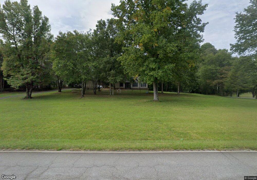
1996 Highway 75 S Cleveland, GA 30528
Estimated Value: $350,000 - $409,000
3
Beds
4
Baths
1,740
Sq Ft
$216/Sq Ft
Est. Value
About This Home
This home is located at 1996 Highway 75 S, Cleveland, GA 30528 and is currently estimated at $375,119, approximately $215 per square foot. 1996 Highway 75 S is a home located in White County with nearby schools including White County 9th Grade Academy, Tesnatee Gap Elementary (Old White County Intermediate), and Jack P. Nix Elementary School.
Ownership History
Date
Name
Owned For
Owner Type
Purchase Details
Closed on
Jun 2, 2009
Sold by
Indymac Federal Bank
Bought by
Federal National Mtg Associati
Current Estimated Value
Purchase Details
Closed on
Aug 1, 2006
Sold by
Not Provided
Bought by
Gabriel Joseph Slade and Gabriel Doris Megan
Home Financials for this Owner
Home Financials are based on the most recent Mortgage that was taken out on this home.
Original Mortgage
$171,999
Interest Rate
6.67%
Mortgage Type
New Conventional
Create a Home Valuation Report for This Property
The Home Valuation Report is an in-depth analysis detailing your home's value as well as a comparison with similar homes in the area
Home Values in the Area
Average Home Value in this Area
Purchase History
| Date | Buyer | Sale Price | Title Company |
|---|---|---|---|
| Federal National Mtg Associati | $183,667 | -- | |
| Indymac Federal Bank | $183,667 | -- | |
| Gabriel Joseph Slade | $215,000 | -- |
Source: Public Records
Mortgage History
| Date | Status | Borrower | Loan Amount |
|---|---|---|---|
| Previous Owner | Gabriel Joseph Slade | $171,999 | |
| Previous Owner | Gabriel Joseph Slade | $32,250 |
Source: Public Records
Tax History Compared to Growth
Tax History
| Year | Tax Paid | Tax Assessment Tax Assessment Total Assessment is a certain percentage of the fair market value that is determined by local assessors to be the total taxable value of land and additions on the property. | Land | Improvement |
|---|---|---|---|---|
| 2025 | $2,053 | $98,556 | $12,000 | $86,556 |
| 2024 | $2,053 | $98,556 | $12,000 | $86,556 |
| 2023 | $1,991 | $87,792 | $12,000 | $75,792 |
| 2022 | $1,796 | $75,684 | $10,000 | $65,684 |
| 2021 | $1,771 | $66,044 | $10,000 | $56,044 |
| 2020 | $1,634 | $58,052 | $9,600 | $48,452 |
| 2019 | $1,639 | $58,052 | $9,600 | $48,452 |
| 2018 | $1,605 | $56,852 | $8,400 | $48,452 |
| 2017 | $1,458 | $52,124 | $8,400 | $43,724 |
| 2016 | $1,458 | $52,124 | $8,400 | $43,724 |
| 2015 | $1,392 | $130,310 | $8,400 | $43,724 |
| 2014 | $1,297 | $121,170 | $0 | $0 |
Source: Public Records
Map
Nearby Homes
- 109 Driskell Rd
- 256 Dogwood Ln
- 250 Truelove Rd
- 179 Garrison Dr
- 0 Underwood Farm Rd Unit 10620914
- 152 Grand View Dr
- 0 Grand View Dr Unit 10479899
- 221 Grand View Dr
- 2523 Westmoreland Rd
- 61 Pine Ln
- 57 Autumnwood Way
- 329 Leisure Acres Dr
- 611 Highway 75 S
- 488 Old Highway 75 S
- 229 Samson Way
- 150 Hardwood Dr
- 147 Briarwood Dr
- 869 Mossy Creek Church Rd
- 0 College View Dr Unit LOT 3 10541620
- 0 Partin Rd Unit LOT 1 10539978
- 55 Jodys Trail
- 55 Jodys Trail Unit 2
- 2068 Highway 75 S
- 1910 Highway 75 S
- 1985 Highway 75 S
- 26 Jodys Trail
- 26 Jodys Trail Unit 4
- 48 Jodys Trail
- 2025 Highway 75 S
- 2078 Highway 75 S
- 1903 Highway 75 S
- 126 Hamilton Dr
- 1856 Highway 75 S
- 1856 Highway 75 S
- 2097 Highway 75 S
- 152 Stonebrook Trail
- 2075 Highway 75 S
- 2130 Highway 75 S
- 72 Michaels Ln
- 134 Stonebrook Trail