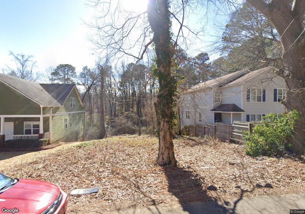
1996 Lois Place NW Atlanta, GA 30318
Grove Park NeighborhoodEstimated Value: $80,000 - $233,000
3
Beds
1
Bath
1,092
Sq Ft
$121/Sq Ft
Est. Value
About This Home
This home is located at 1996 Lois Place NW, Atlanta, GA 30318 and is currently estimated at $131,667, approximately $120 per square foot. 1996 Lois Place NW is a home located in Fulton County with nearby schools including Boyd Elementary School, John Lewis Invictus Academy, and Frederick Douglass High School.
Ownership History
Date
Name
Owned For
Owner Type
Purchase Details
Closed on
Oct 30, 2020
Sold by
Wyatt Ventures Llc
Bought by
Uo Catalyst Llc
Current Estimated Value
Purchase Details
Closed on
Dec 8, 2017
Sold by
Robinson Robert Lamont
Bought by
Wyattt Ventures Llc
Purchase Details
Closed on
Dec 5, 2012
Sold by
Chu Lichung
Bought by
Robinson Robert Lamont
Purchase Details
Closed on
Dec 2, 1997
Sold by
Jacobs Sallie J
Bought by
Nationscredit Finl Ser Corp
Create a Home Valuation Report for This Property
The Home Valuation Report is an in-depth analysis detailing your home's value as well as a comparison with similar homes in the area
Home Values in the Area
Average Home Value in this Area
Purchase History
| Date | Buyer | Sale Price | Title Company |
|---|---|---|---|
| Uo Catalyst Llc | $409,920 | -- | |
| Wyattt Ventures Llc | $28,000 | -- | |
| Robinson Robert Lamont | -- | -- | |
| Nationscredit Finl Ser Corp | $20,200 | -- |
Source: Public Records
Tax History Compared to Growth
Tax History
| Year | Tax Paid | Tax Assessment Tax Assessment Total Assessment is a certain percentage of the fair market value that is determined by local assessors to be the total taxable value of land and additions on the property. | Land | Improvement |
|---|---|---|---|---|
| 2025 | $1,276 | $40,000 | $40,000 | -- |
| 2023 | $1,276 | $60,680 | $60,680 | $0 |
| 2022 | $2,456 | $60,680 | $60,680 | $0 |
| 2021 | $2,657 | $65,600 | $65,600 | $0 |
| 2020 | $1,347 | $32,880 | $32,880 | $0 |
| 2019 | $453 | $12,160 | $9,840 | $2,320 |
| 2018 | $217 | $5,240 | $4,120 | $1,120 |
| 2017 | $226 | $5,240 | $4,120 | $1,120 |
| 2016 | $239 | $5,520 | $4,840 | $680 |
| 2015 | $556 | $5,520 | $4,840 | $680 |
| 2014 | $297 | $6,560 | $6,040 | $520 |
Source: Public Records
Map
Nearby Homes
- 2015 Lois Place NW
- 1985 Lois Place NW
- 1981 Lois Place NW
- 75 Johnson Rd NW
- 1974 Lois Place NW
- 1987 Ruth St NW
- 1075 Cato St NW
- 965 Cato St NW
- 1050 Cato St NW
- 1131 Cato St NW
- 37 Johnson Rd NW
- 30 Johnson Rd NW
- 1039 Margaret Place NW
- 25 Johnson Rd NW
- 15 Johnson Rd NW
- 0 Cato St NW Unit 7588989
- 923 N Eugenia Place NW
- 1055 Johnson Grove
- 2000 Lois Place NW
- 2004 Lois Place NW
- 1982 Lois Place NW
- 1995 Lois Place NW
- 2001 Lois Place NW
- 1987 Lois Place NW
- 1074 Jones Ave NW
- 2020 Lois Place NW
- 2009 Lois Place NW
- 2030 Lois Place NW
- 2027 Lois Place NW Unit B
- 2027 Lois Place NW Unit A
- 2027 Lois Place NW
- 2000 Ruth St NW
- 1081 Jones Ave NW
- 1992 Ruth St NW
- 2004 Ruth St NW
- 67 Johnson Rd NW
- 2040 Lois Place NW
- 2031 Lois Place NW
