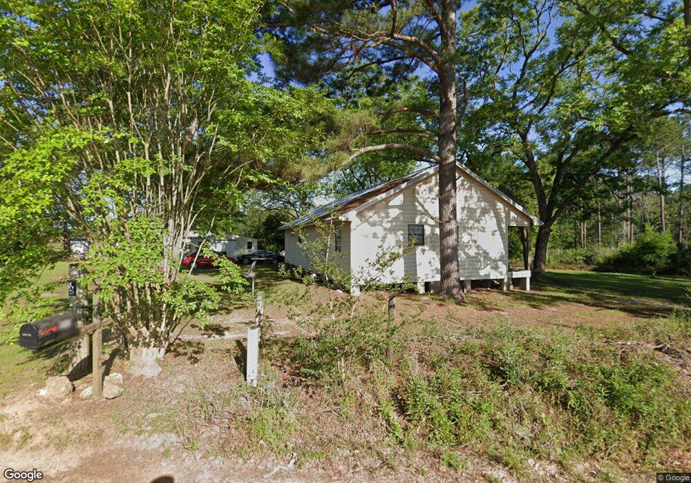
1996 Pt Salter Rd Poulan, GA 31781
Estimated Value: $112,000 - $255,000
--
Bed
1
Bath
1,350
Sq Ft
$117/Sq Ft
Est. Value
About This Home
This home is located at 1996 Pt Salter Rd, Poulan, GA 31781 and is currently estimated at $157,779, approximately $116 per square foot. 1996 Pt Salter Rd is a home located in Worth County with nearby schools including Worth County Primary School, Worth County Elementary School, and Worth County Middle School.
Ownership History
Date
Name
Owned For
Owner Type
Purchase Details
Closed on
Jan 21, 2005
Sold by
Walter Mtg Co
Bought by
Toomer Deidra S
Current Estimated Value
Home Financials for this Owner
Home Financials are based on the most recent Mortgage that was taken out on this home.
Original Mortgage
$83,047
Interest Rate
5.66%
Mortgage Type
New Conventional
Create a Home Valuation Report for This Property
The Home Valuation Report is an in-depth analysis detailing your home's value as well as a comparison with similar homes in the area
Home Values in the Area
Average Home Value in this Area
Purchase History
| Date | Buyer | Sale Price | Title Company |
|---|---|---|---|
| Toomer Deidra S | $35,300 | -- |
Source: Public Records
Mortgage History
| Date | Status | Borrower | Loan Amount |
|---|---|---|---|
| Closed | Toomer Deidra S | $83,047 |
Source: Public Records
Tax History Compared to Growth
Tax History
| Year | Tax Paid | Tax Assessment Tax Assessment Total Assessment is a certain percentage of the fair market value that is determined by local assessors to be the total taxable value of land and additions on the property. | Land | Improvement |
|---|---|---|---|---|
| 2024 | $1,001 | $27,754 | $8,100 | $19,654 |
| 2023 | $1,001 | $26,986 | $8,100 | $18,886 |
| 2022 | $979 | $26,986 | $8,100 | $18,886 |
| 2021 | $956 | $26,986 | $8,100 | $18,886 |
| 2020 | $957 | $26,986 | $8,100 | $18,886 |
| 2019 | $957 | $26,986 | $8,100 | $18,886 |
| 2018 | $773 | $26,986 | $8,100 | $18,886 |
| 2017 | $773 | $26,986 | $8,100 | $18,886 |
| 2016 | $717 | $26,986 | $8,100 | $18,886 |
| 2015 | $718 | $26,986 | $8,100 | $18,886 |
| 2014 | $718 | $26,986 | $8,100 | $18,886 |
| 2013 | -- | $24,934 | $6,048 | $18,886 |
| 2012 | -- | $24,934 | $6,048 | $18,886 |
Source: Public Records
Map
Nearby Homes
- 1017 Sumner Rd S
- 914 Douthit Rd
- 376 West Rd
- 0 Sands Dr
- 565 Sands Dr Unit 8
- 565 Sands Dr
- 0 P T Salter Rd Unit 138997
- 0 Jones Rd
- 1583 Gibbs Rd
- 0 U S Highway 82
- 112 Courtney Cir
- 107 Fisher Way Unit 4
- 107 Fisher Way
- 102 Courtney Cir
- 302 Sadler St
- 314 E Hobson St
- 307 E Hobson St
- 0 Multiple Lots Unit 138826
- 196 Griffin Houston Rd
- 202A E Welch St
- 2010 Pt Salter Rd
- 3310 Ga Highway 256
- 3280 Ga Highway 256
- 3319 Ga Highway 256
- 3319 Ga Hwy 256
- 3289 Ga Highway 256
- 3259 Ga Highway 256
- 3316 Ga Highway 256
- 3330 Ga Highway 256
- 3331 Ga Highway 256
- 3205 Ga Highway 256
- 3338 Ga Highway 256
- 3339 Ga Highway 256
- 0 Ga Highway 256
- 3403 Georgia 256
- 3403 Ga Highway 256
- 3403 Ga Hwy 256
- 218 Pine Forest Rd
- 271 Pine Forest Rd
- 3437 Ga Highway 256