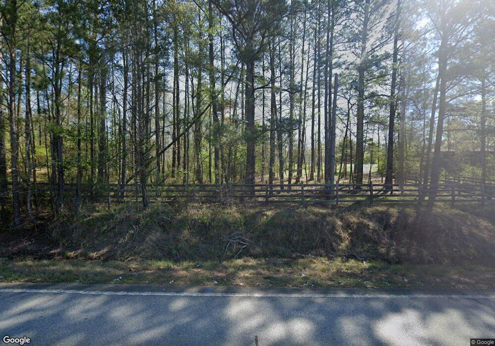
Estimated Value: $357,000 - $359,000
--
Bed
--
Bath
1,880
Sq Ft
$190/Sq Ft
Est. Value
About This Home
This home is located at 1997 Fosters Mill Rd SW, Rome, GA 30161 and is currently estimated at $358,000, approximately $190 per square foot. 1997 Fosters Mill Rd SW is a home located in Floyd County with nearby schools including Coosa Middle School and Coosa High School.
Ownership History
Date
Name
Owned For
Owner Type
Purchase Details
Closed on
Aug 3, 2012
Sold by
Lipham Herbert S
Bought by
Lipham Herbert S and Lipham Linda Clarice
Current Estimated Value
Purchase Details
Closed on
Oct 10, 2000
Sold by
Lipham Helga E
Bought by
Lipham Herbert S
Purchase Details
Closed on
Nov 13, 1980
Sold by
Fountain Howard and Fountain Marian
Bought by
Lipham Helga E
Purchase Details
Closed on
Apr 28, 1979
Bought by
P and R
Purchase Details
Closed on
Apr 27, 1979
Bought by
P and R
Purchase Details
Closed on
Nov 10, 1976
Bought by
Fountain Howard and Fountain Marian
Create a Home Valuation Report for This Property
The Home Valuation Report is an in-depth analysis detailing your home's value as well as a comparison with similar homes in the area
Home Values in the Area
Average Home Value in this Area
Purchase History
| Date | Buyer | Sale Price | Title Company |
|---|---|---|---|
| Lipham Herbert S | -- | -- | |
| Lipham Herbert S | -- | -- | |
| Lipham Helga E | $8,000 | -- | |
| P | -- | -- | |
| P | -- | -- | |
| Fountain Howard | $6,200 | -- |
Source: Public Records
Tax History Compared to Growth
Tax History
| Year | Tax Paid | Tax Assessment Tax Assessment Total Assessment is a certain percentage of the fair market value that is determined by local assessors to be the total taxable value of land and additions on the property. | Land | Improvement |
|---|---|---|---|---|
| 2024 | $2,375 | $134,137 | $29,001 | $105,136 |
| 2023 | $1,737 | $128,760 | $26,365 | $102,395 |
| 2022 | $2,370 | $94,670 | $21,811 | $72,859 |
| 2021 | $2,107 | $78,601 | $19,736 | $58,865 |
| 2020 | $2,017 | $73,559 | $17,161 | $56,398 |
| 2019 | $1,948 | $71,017 | $17,161 | $53,856 |
| 2018 | $1,885 | $67,621 | $16,345 | $51,276 |
| 2017 | $1,836 | $65,035 | $15,134 | $49,901 |
| 2016 | $1,841 | $64,157 | $15,120 | $49,037 |
| 2015 | $1,803 | $64,157 | $15,120 | $49,037 |
| 2014 | $1,803 | $64,157 | $15,120 | $49,037 |
Source: Public Records
Map
Nearby Homes
- 0 McGee Bend Rd SW Unit 10351960
- 0 Old Blacks Bluff Rd SW Unit 10652523
- LT 5 Morton Bend Rd
- 47 Boyd Rd SW
- 0 Morton Bend Rd SW Unit 7665378
- 0 Morton Bend Rd SW Unit 10638763
- 0 Ausburn Rd SW Unit 10611100
- 3686 Blacks Bluff Rd SW
- 458 Kraftsman Rd SW
- 1865 Morton Bend Rd
- 8006 Blacks Bluff Rd SW
- 26 Red Fox Dr SW
- 775 Mays Bridge Rd SW
- 5 Red Fox Dr SW
- 0 George Rd SW Unit 10567389
- 0 George Rd SW Unit 7618177
- 8203 Blacks Bluff Rd SW
- 3428 Horseleg Creek Rd SW
- 63 Highlander Trail SW
- 0 Alabama Hwy Unit 7494552
- 1967 Fosters Mill Rd SW
- 1933 Fosters Mill Rd SW
- 1806 Fosters Mill Rd SW
- 1806 Fosters Mill Rd SW
- 1940 Fosters Mill Rd SW
- 1982 Fosters Mill Rd SW
- 2024 Fosters Mill Rd SW
- 2061 Fosters Mill Rd SW
- 1898 Fosters Mill Rd SW
- 1898 Fosters Mill Rd SW
- 1898 Fosters Mill Rd SW
- 1885 Fosters Mill Rd SW
- 1878 Fosters Mill Rd SW
- 1853 Fosters Mill Rd SW
- 1914 Fosters Mill Rd SW
- 1870 Fosters Mill Rd SW
- 1870 Fosters Mill Rd SW
- 1870 Fosters Mill Rd SW
- 1837 Fosters Mill Rd SW
- 1844 Fosters Mill Rd SW
