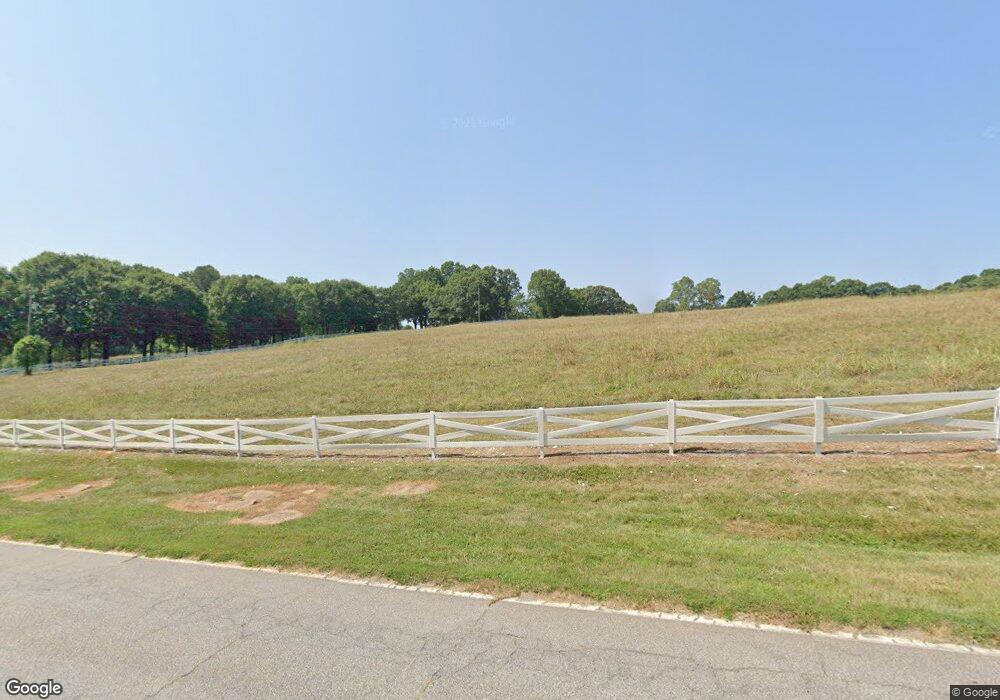
1997 Roe Ford Rd Greenville, SC 29617
Estimated Value: $680,000 - $1,199,000
4
Beds
4
Baths
3,687
Sq Ft
$234/Sq Ft
Est. Value
About This Home
This home is located at 1997 Roe Ford Rd, Greenville, SC 29617 and is currently estimated at $864,556, approximately $234 per square foot. 1997 Roe Ford Rd is a home located in Greenville County with nearby schools including Duncan Chapel Elementary, Northwest Middle School, and Travelers Rest High School.
Ownership History
Date
Name
Owned For
Owner Type
Purchase Details
Closed on
Jun 14, 2010
Sold by
Ifican Lp
Bought by
Meyer James J and Meyer Anne H
Current Estimated Value
Home Financials for this Owner
Home Financials are based on the most recent Mortgage that was taken out on this home.
Original Mortgage
$406,400
Outstanding Balance
$272,771
Interest Rate
5%
Mortgage Type
New Conventional
Estimated Equity
$591,785
Create a Home Valuation Report for This Property
The Home Valuation Report is an in-depth analysis detailing your home's value as well as a comparison with similar homes in the area
Home Values in the Area
Average Home Value in this Area
Purchase History
| Date | Buyer | Sale Price | Title Company |
|---|---|---|---|
| Meyer James J | $508,000 | -- |
Source: Public Records
Mortgage History
| Date | Status | Borrower | Loan Amount |
|---|---|---|---|
| Open | Meyer James J | $406,400 |
Source: Public Records
Tax History Compared to Growth
Tax History
| Year | Tax Paid | Tax Assessment Tax Assessment Total Assessment is a certain percentage of the fair market value that is determined by local assessors to be the total taxable value of land and additions on the property. | Land | Improvement |
|---|---|---|---|---|
| 2024 | $3,734 | $22,950 | $3,340 | $19,610 |
| 2023 | $3,734 | $22,950 | $3,340 | $19,610 |
| 2022 | $3,631 | $22,950 | $3,340 | $19,610 |
| 2021 | $3,569 | $22,950 | $3,340 | $19,610 |
| 2020 | $3,412 | $20,800 | $2,220 | $18,580 |
| 2019 | $3,389 | $20,800 | $2,220 | $18,580 |
| 2018 | $3,475 | $20,800 | $2,220 | $18,580 |
| 2017 | $3,452 | $20,800 | $2,220 | $18,580 |
| 2016 | $3,320 | $520,040 | $55,500 | $464,540 |
| 2015 | $3,243 | $520,040 | $55,500 | $464,540 |
| 2014 | $3,131 | $503,510 | $55,500 | $448,010 |
Source: Public Records
Map
Nearby Homes
- 2 Tall Poplar Trail
- 5 Tall Poplar Trail
- 2 Wheatstone Ct
- 22 Tall Poplar Trail
- 222 Montview Cir
- 114 Seattle Slew Ln
- 100 Sunrise Valley Rd
- 202 Montview Cir
- 208 Carilion Ln
- 914 McElhaney Rd
- 206 Hunters Ct
- 507 Palladio Dr
- 519 Palladio Dr
- 22 Calmar Ct
- 43 Park Vista Way
- 39 Park Vista Way
- 47 Park Vista Way
- 71 Park Vista Way
- 505 Summitbluff Dr
- 105 E Round Hill Rd
- 1923 Roe Ford Rd
- 10050 Old White Horse Rd
- 10038 Old White Horse Rd
- 1947 Roe Ford Rd
- 10018 Old White Horse Rd
- 10056 Old White Horse Rd
- 10037 Old White Horse Rd
- 199 Meadow Brook Rd
- 10049 Old White Horse Rd
- 2121 Roe Ford Rd
- 2177 Roe Ford Rd
- 1808 Roe Ford Rd
- 1950 Roe Ford Rd
- 1806 Roe Ford Rd
- 10059 Old White Horse Rd
- Lot 2 Tall Poplar Trail
- 0 Tall Poplar Trail Unit 1453844
- 0 Tall Poplar Trail Unit 1453650
- 0 Tall Poplar Trail Unit 1453651
- 0 Tall Poplar Trail Unit 1453649
