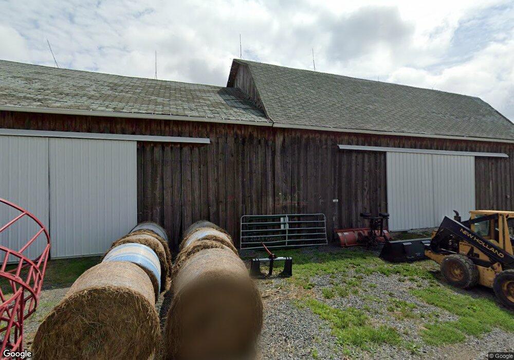
1997 S Union Rd Roaring Branch, PA 17765
Estimated Value: $278,000 - $577,000
4
Beds
1
Bath
2,258
Sq Ft
$189/Sq Ft
Est. Value
About This Home
This home is located at 1997 S Union Rd, Roaring Branch, PA 17765 and is currently estimated at $427,685, approximately $189 per square foot. 1997 S Union Rd is a home located in Tioga County with nearby schools including Canton Area Elementary School and Canton Junior/Senior High School.
Ownership History
Date
Name
Owned For
Owner Type
Purchase Details
Closed on
Jun 8, 2021
Sold by
Ward Thomas J and Marcozzi Andrew A
Bought by
Deadeye Llc
Current Estimated Value
Purchase Details
Closed on
May 20, 2005
Sold by
Krasselt George E and Krasselt Helen C
Bought by
Ward Thoamas J and Marcozzi Andrew A
Home Financials for this Owner
Home Financials are based on the most recent Mortgage that was taken out on this home.
Original Mortgage
$188,800
Interest Rate
5.83%
Mortgage Type
Credit Line Revolving
Create a Home Valuation Report for This Property
The Home Valuation Report is an in-depth analysis detailing your home's value as well as a comparison with similar homes in the area
Home Values in the Area
Average Home Value in this Area
Purchase History
| Date | Buyer | Sale Price | Title Company |
|---|---|---|---|
| Deadeye Llc | -- | None Available | |
| Ward Thoamas J | $300,000 | None Available |
Source: Public Records
Mortgage History
| Date | Status | Borrower | Loan Amount |
|---|---|---|---|
| Previous Owner | Ward Thoamas J | $188,800 |
Source: Public Records
Tax History Compared to Growth
Tax History
| Year | Tax Paid | Tax Assessment Tax Assessment Total Assessment is a certain percentage of the fair market value that is determined by local assessors to be the total taxable value of land and additions on the property. | Land | Improvement |
|---|---|---|---|---|
| 2025 | $3,313 | $241,490 | $69,010 | $172,480 |
| 2024 | $5,420 | $241,490 | $69,010 | $172,480 |
| 2023 | $3,527 | $130,560 | $32,470 | $98,090 |
| 2022 | $3,551 | $130,560 | $32,470 | $98,090 |
| 2021 | $3,547 | $130,560 | $32,470 | $98,090 |
| 2020 | $3,684 | $130,560 | $32,470 | $98,090 |
| 2019 | $3,569 | $130,560 | $32,470 | $98,090 |
| 2018 | $3,575 | $130,560 | $32,470 | $98,090 |
| 2017 | -- | $130,560 | $32,470 | $98,090 |
| 2016 | $4,279 | $204,880 | $80,730 | $124,150 |
| 2015 | -- | $156,620 | $32,470 | $124,150 |
| 2014 | -- | $156,620 | $32,470 | $124,150 |
Source: Public Records
Map
Nearby Homes
- 68 Charles St
- 5407 Route 14
- 13183 State Route 414
- 13632 Route 414
- 84 Green Hill Rd
- 70 Greens Hill Rd
- 828 Bloss Mountain Rd
- 47 E Hill St
- 4489 Williamson Trail
- 1177 Bloss Mountain Rd
- 1909 Mill Hill Rd
- 8065 Route 414
- 1235 Pleasant Stream Rd
- 2218 Mountain Top Rd
- 38 Hillside Ln
- 265 Gulick St
- 55 Main St
- 114 Summit St
- 238 S Williamson Rd
- 221 S Williamson Rd