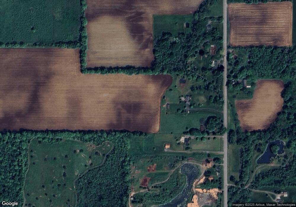
1997 Salt Rd Fairport, NY 14450
Estimated Value: $557,000 - $856,000
3
Beds
3
Baths
2,264
Sq Ft
$303/Sq Ft
Est. Value
About This Home
This home is located at 1997 Salt Rd, Fairport, NY 14450 and is currently estimated at $685,639, approximately $302 per square foot. 1997 Salt Rd is a home located in Monroe County with nearby schools including Bay Trail Middle School, Penfield Senior High School, and Southeast Christian Academy.
Ownership History
Date
Name
Owned For
Owner Type
Purchase Details
Closed on
Jun 7, 2007
Sold by
Stephenson Thomas F
Bought by
Rae Thomas
Current Estimated Value
Home Financials for this Owner
Home Financials are based on the most recent Mortgage that was taken out on this home.
Original Mortgage
$202,950
Interest Rate
5.88%
Mortgage Type
New Conventional
Purchase Details
Closed on
Jun 19, 2006
Sold by
Licata Robert
Bought by
Stephenson Thomas
Purchase Details
Closed on
Jul 9, 1999
Sold by
Vane Norman E
Bought by
Licata Robert A
Create a Home Valuation Report for This Property
The Home Valuation Report is an in-depth analysis detailing your home's value as well as a comparison with similar homes in the area
Home Values in the Area
Average Home Value in this Area
Purchase History
| Date | Buyer | Sale Price | Title Company |
|---|---|---|---|
| Rae Thomas | $375,000 | William Higgins | |
| Stephenson Thomas | $361,000 | -- | |
| Licata Robert A | $40,592 | Mark Gunther |
Source: Public Records
Mortgage History
| Date | Status | Borrower | Loan Amount |
|---|---|---|---|
| Closed | Rae Thomas | $202,950 |
Source: Public Records
Tax History Compared to Growth
Tax History
| Year | Tax Paid | Tax Assessment Tax Assessment Total Assessment is a certain percentage of the fair market value that is determined by local assessors to be the total taxable value of land and additions on the property. | Land | Improvement |
|---|---|---|---|---|
| 2024 | $10,326 | $405,000 | $133,300 | $271,700 |
| 2023 | $10,223 | $405,000 | $133,300 | $271,700 |
| 2022 | $12,147 | $405,000 | $133,300 | $271,700 |
| 2021 | $12,087 | $313,200 | $117,800 | $195,400 |
| 2020 | $11,064 | $313,200 | $117,800 | $195,400 |
| 2019 | $9,538 | $313,200 | $117,800 | $195,400 |
| 2018 | $9,805 | $313,200 | $117,800 | $195,400 |
| 2017 | $9,534 | $313,200 | $117,800 | $195,400 |
| 2016 | $9,538 | $313,200 | $117,800 | $195,400 |
| 2015 | -- | $313,200 | $117,800 | $195,400 |
| 2014 | -- | $313,200 | $117,800 | $195,400 |
Source: Public Records
Map
Nearby Homes
- 2831 Penfield Rd
- 2815 Penfield Rd
- 2799 Penfield Rd
- 18 Ashby Cir
- 139 Balmoral Dr
- 74 Redwood Dr
- 1305 Whalen Rd
- 1673 Salt Rd
- 35 Bramblewood Ln
- 8 Pine Brook Cir
- 3 Acadian Rise
- 30 Cali Ridge
- 64 Chippenham Dr
- 3825 Atlantic Ave
- 32 Mapleview Cir
- 9 Folkestone Ln
- 9 Parham Dr
- 1330 Fairport Nine Mile Point Rd
- 255 Watson Rd
- 3864 Stalker Rd
