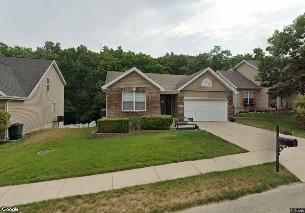
1997 Shetland Path High Ridge, MO 63049
Estimated Value: $268,332 - $369,000
Studio
--
Bath
1,269
Sq Ft
$256/Sq Ft
Est. Value
About This Home
This home is located at 1997 Shetland Path, High Ridge, MO 63049 and is currently estimated at $325,333, approximately $256 per square foot. 1997 Shetland Path is a home with nearby schools including Northwest High School and St. Anthony School.
Ownership History
Date
Name
Owned For
Owner Type
Purchase Details
Closed on
Jun 7, 2013
Sold by
Stichling Matthew J
Bought by
Stichling Amanda
Current Estimated Value
Home Financials for this Owner
Home Financials are based on the most recent Mortgage that was taken out on this home.
Original Mortgage
$177,721
Outstanding Balance
$125,060
Interest Rate
3.25%
Mortgage Type
FHA
Estimated Equity
$200,273
Purchase Details
Closed on
Sep 15, 2009
Sold by
Mcbride & Son Homes Inc
Bought by
Stichling Matthew J
Home Financials for this Owner
Home Financials are based on the most recent Mortgage that was taken out on this home.
Original Mortgage
$189,978
Interest Rate
5.2%
Mortgage Type
FHA
Create a Home Valuation Report for This Property
The Home Valuation Report is an in-depth analysis detailing your home's value as well as a comparison with similar homes in the area
Home Values in the Area
Average Home Value in this Area
Purchase History
| Date | Buyer | Sale Price | Title Company |
|---|---|---|---|
| Stichling Amanda | -- | Touchstone Title & Abstract | |
| Stichling Matthew J | -- | Dependable Title Llc |
Source: Public Records
Mortgage History
| Date | Status | Borrower | Loan Amount |
|---|---|---|---|
| Open | Stichling Amanda | $177,721 | |
| Closed | Stichling Matthew J | $189,978 |
Source: Public Records
Tax History
| Year | Tax Paid | Tax Assessment Tax Assessment Total Assessment is a certain percentage of the fair market value that is determined by local assessors to be the total taxable value of land and additions on the property. | Land | Improvement |
|---|---|---|---|---|
| 2025 | $2,737 | $41,200 | $7,700 | $33,500 |
| 2024 | $2,737 | $37,900 | $7,700 | $30,200 |
| 2023 | $2,737 | $37,900 | $7,700 | $30,200 |
| 2022 | $2,595 | $36,100 | $5,900 | $30,200 |
| 2021 | $2,579 | $36,100 | $5,900 | $30,200 |
| 2020 | $2,334 | $31,900 | $5,100 | $26,800 |
| 2019 | $2,331 | $31,900 | $5,100 | $26,800 |
| 2018 | $2,363 | $31,900 | $5,100 | $26,800 |
| 2016 | $2,034 | $29,800 | $5,200 | $24,600 |
Source: Public Records
Map
Nearby Homes
- 0 Mikel Ln
- 2108 Hillsboro Valley Park Rd
- 1636 S Golden Cir
- 1641 S Golden Cir
- 1635 Rockfern Dr
- 2233 Appaloosa Trail
- 4824 E Golden Cir
- 1616 Creightonwood Ct
- 18 Hawk Ct
- 1599 Paradise Valley Dr
- 1516 Cassie Ct
- 4671 Chinkapin Ln
- 2135 Linnus Dr
- 2149 Linnus Dr
- 2200 Dillon Rd
- 1705 Little Brennan Rd
- 151 Brandy Mill Cir Unit F
- 147 Brandy Mill Cir Unit B
- 104 Brandy Mill Cir Unit A
- 1570 Heritage Valley Dr
- 1993 Shetland Path
- 2001 Shetland Path
- 1989 Shetland Path
- 2005 Shetland Path
- 1985 Shetland Path
- 1985lot #305 Shetland Path
- 2009 Shetland Path
- 1985 Shetland Path Lot #305
- 2008 Shetland Path
- 1981 Shetland Path
- 2013 Shetland Path
- 2014 Shetland Path
- 1977 Shetland Path
- 2017 Shetland Path Lot #297
- 2017 Shetland Path
- 2017Lot #297 Shetland Path
- 2018 Shetland Path
- 1973 Shetland Path
- 2022 Shetland Path
- 2025 Shetland Path
Your Personal Tour Guide
Ask me questions while you tour the home.