1997 Us Highway 78 W Oxford, AL 36203
Estimated Value: $161,186 - $235,000
--
Bed
--
Bath
1,934
Sq Ft
$103/Sq Ft
Est. Value
About This Home
This home is located at 1997 Us Highway 78 W, Oxford, AL 36203 and is currently estimated at $199,047, approximately $102 per square foot. 1997 Us Highway 78 W is a home located in Calhoun County with nearby schools including Oxford Middle School, Oxford High School, and Heritage Christian Academy And.
Ownership History
Date
Name
Owned For
Owner Type
Purchase Details
Closed on
Nov 16, 2020
Sold by
Mitchell Courtney K
Bought by
Mitchell James N
Current Estimated Value
Home Financials for this Owner
Home Financials are based on the most recent Mortgage that was taken out on this home.
Original Mortgage
$100,000
Interest Rate
2.8%
Mortgage Type
New Conventional
Create a Home Valuation Report for This Property
The Home Valuation Report is an in-depth analysis detailing your home's value as well as a comparison with similar homes in the area
Home Values in the Area
Average Home Value in this Area
Purchase History
| Date | Buyer | Sale Price | Title Company |
|---|---|---|---|
| Mitchell James N | -- | None Available |
Source: Public Records
Mortgage History
| Date | Status | Borrower | Loan Amount |
|---|---|---|---|
| Closed | Mitchell James N | $100,000 |
Source: Public Records
Tax History Compared to Growth
Tax History
| Year | Tax Paid | Tax Assessment Tax Assessment Total Assessment is a certain percentage of the fair market value that is determined by local assessors to be the total taxable value of land and additions on the property. | Land | Improvement |
|---|---|---|---|---|
| 2024 | $598 | $12,562 | $1,090 | $11,472 |
| 2023 | $598 | $12,782 | $1,090 | $11,692 |
| 2022 | $577 | $12,120 | $1,090 | $11,030 |
| 2021 | $402 | $9,530 | $970 | $8,560 |
| 2020 | $427 | $10,054 | $970 | $9,084 |
| 2019 | $398 | $9,456 | $970 | $8,486 |
| 2018 | $398 | $9,460 | $0 | $0 |
| 2017 | $0 | $9,120 | $0 | $0 |
| 2016 | $382 | $9,120 | $0 | $0 |
| 2013 | -- | $9,500 | $0 | $0 |
Source: Public Records
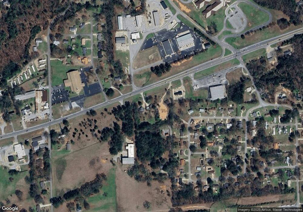
Map
Nearby Homes
- 0 Emi Gil Dr Unit 21368920
- 3020 Brentwood Dr
- 3116 Brentwood Dr
- 3049 Brentwood Dr Unit 7.1 acres
- 1 Airport Rd Unit 1
- 88 Sweetheart Ln
- 0 Mountain Brow Dr Unit 21413379
- 0 Mountain Brow Dr Unit 21413374
- 46 Allen St
- 1210 Early St
- 1214 Greensboro Dr
- 1217 Rockwood Ln
- 916 Pinecliff Dr
- 915 Pinecliff Dr
- 906 Pinecliff Dr
- 000 Interstate 20 Unit 1
- 0 Allred St Unit 21434346
- 0 Allred St Unit 1
- 1301 Sherwood Dr
- 3489 Highway 78 W Unit 14
- 2021 Us Highway 78 W
- 2045 U S 78
- 1929 U S 78
- 136 Jason Dr
- 1929 Us Highway 78 W
- 1929 Us Highway 78 W Unit 1
- 1929 Us Highway 78 W Unit 1
- 134 Jason Dr
- 140 Jason Dr
- 1945 Us Highway 78 W
- 1945 Us Highway 78 W
- 132 Jason Dr
- 2050 Us Highway 78 W
- 119 Jason Dr
- 142 Jason Dr
- 130 Jason Dr
- 117 Jason Dr
- 40 Alan Dr
- 115 Jason Dr
- 128 Jason Dr