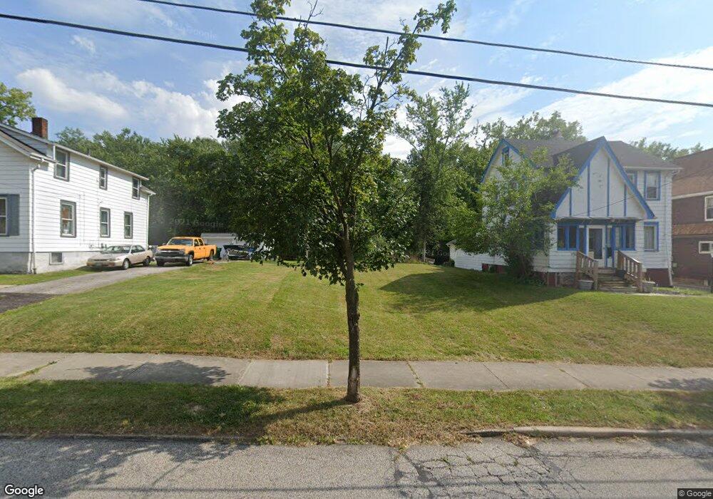
19970 Raymond St Maple Heights, OH 44137
Estimated Value: $26,000
3
Beds
1
Bath
1,164
Sq Ft
$22/Sq Ft
Est. Value
About This Home
This home is located at 19970 Raymond St, Maple Heights, OH 44137 and is currently priced at $26,000, approximately $22 per square foot. 19970 Raymond St is a home located in Cuyahoga County with nearby schools including Abraham Lincoln Elementary School, Rockside/ J.F. Kennedy School, and Italy High School.
Ownership History
Date
Name
Owned For
Owner Type
Purchase Details
Closed on
Dec 23, 2019
Sold by
Dixon Burrell Maurice and Dixon Nancy B
Bought by
Maple Heights Land Reutilization Program
Current Estimated Value
Purchase Details
Closed on
Apr 1, 1987
Sold by
Michelbrink Rober Tp
Bought by
Dixon Burrell M
Purchase Details
Closed on
Nov 28, 1978
Sold by
Rusmisel Danny J and Rusmisel Carol
Bought by
Michelbrink Rober Tp
Purchase Details
Closed on
Jan 1, 1975
Bought by
Rusmisel Danny J and Rusmisel Carol
Create a Home Valuation Report for This Property
The Home Valuation Report is an in-depth analysis detailing your home's value as well as a comparison with similar homes in the area
Home Values in the Area
Average Home Value in this Area
Purchase History
| Date | Buyer | Sale Price | Title Company |
|---|---|---|---|
| Maple Heights Land Reutilization Program | $1,972 | None Available | |
| Dixon Burrell M | $49,000 | -- | |
| Michelbrink Rober Tp | $34,500 | -- | |
| Rusmisel Danny J | -- | -- |
Source: Public Records
Tax History Compared to Growth
Tax History
| Year | Tax Paid | Tax Assessment Tax Assessment Total Assessment is a certain percentage of the fair market value that is determined by local assessors to be the total taxable value of land and additions on the property. | Land | Improvement |
|---|---|---|---|---|
| 2024 | -- | $700 | $700 | -- |
| 2022 | $132 | $3,885 | $3,885 | $0 |
| 2021 | $132 | $3,890 | $3,890 | $0 |
| 2020 | $132 | $2,940 | $2,940 | $0 |
| 2019 | $1,251 | $8,400 | $8,400 | $0 |
| 2018 | $947 | $2,940 | $2,940 | $0 |
| 2017 | $1,775 | $2,700 | $2,700 | $0 |
| 2016 | $6,970 | $2,700 | $2,700 | $0 |
| 2015 | $5,108 | $2,700 | $2,700 | $0 |
| 2014 | $5,108 | $2,980 | $2,980 | $0 |
Source: Public Records
Map
Nearby Homes
- 20120 Mccracken Rd
- 19807 Gardenview Dr
- 19309 Nitra Ave
- 19520 Maple Heights Blvd
- 20715 Watson Rd
- 19806 Mountville Dr
- 5165 Camden Rd
- 20107 Libby Rd
- 20814 Watson Rd
- 20510 Mountville Dr
- 20907 Watson Rd
- 20701 Kenyon Dr
- 19812 Stockton Ave
- 21102 Raymond St
- 20814 Kenyon Dr
- 19289 Stafford Ave
- 21207 Franklin Rd
- 5265 Bellview St
- 19221 Stafford Ave
- 18909 Maple Heights Blvd
- 19966 Raymond St
- 19976 Raymond St
- 19900 Raymond St
- 20002 Raymond St
- 19870 Raymond St
- 19979 Raymond St
- 19850 Raymond St
- 20008 Raymond St
- 19941 Raymond St
- 19981 Raymond St
- 19931 Raymond St
- 19830 Raymond St
- 20040 Raymond St
- 19925 Raymond St
- 20001 Raymond St
- 20021 Raymond St
- 19810 Maple Heights Blvd
- 20060 Raymond St
- 20041 Raymond St
- 20080 Raymond St