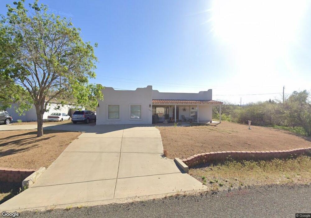
19972 E Antelope Rd Mayer, AZ 86333
Cordes Lakes NeighborhoodEstimated Value: $310,000 - $346,000
3
Beds
2
Baths
1,326
Sq Ft
$249/Sq Ft
Est. Value
About This Home
This home is located at 19972 E Antelope Rd, Mayer, AZ 86333 and is currently estimated at $330,147, approximately $248 per square foot. 19972 E Antelope Rd is a home located in Yavapai County with nearby schools including Mayer Elementary School and Mayer High School.
Ownership History
Date
Name
Owned For
Owner Type
Purchase Details
Closed on
Sep 28, 2023
Sold by
Watson Sheryl Sieving
Bought by
Watson Trust and Watson
Current Estimated Value
Purchase Details
Closed on
Apr 4, 2023
Sold by
Watson Sheryl Sieving
Bought by
Sheryl S Watson Trust
Purchase Details
Closed on
Jun 15, 2000
Sold by
Simms Charles R and Simms Margaret L
Bought by
Sieving Watson Ronald Arthur and Sieving Watson Sherl
Home Financials for this Owner
Home Financials are based on the most recent Mortgage that was taken out on this home.
Original Mortgage
$62,000
Interest Rate
8.67%
Purchase Details
Closed on
Feb 26, 1998
Sold by
Erickson Allan and Erickson Allan R
Bought by
Simms Charles R and Simms Margaret L
Create a Home Valuation Report for This Property
The Home Valuation Report is an in-depth analysis detailing your home's value as well as a comparison with similar homes in the area
Home Values in the Area
Average Home Value in this Area
Purchase History
| Date | Buyer | Sale Price | Title Company |
|---|---|---|---|
| Watson Trust | -- | None Listed On Document | |
| Sheryl S Watson Trust | -- | None Listed On Document | |
| Sieving Watson Ronald Arthur | $112,000 | Capital Title Agency Inc | |
| Simms Charles R | $4,500 | Yavapai Coconino Title Agenc |
Source: Public Records
Mortgage History
| Date | Status | Borrower | Loan Amount |
|---|---|---|---|
| Previous Owner | Sieving Watson Ronald Arthur | $62,000 |
Source: Public Records
Tax History
| Year | Tax Paid | Tax Assessment Tax Assessment Total Assessment is a certain percentage of the fair market value that is determined by local assessors to be the total taxable value of land and additions on the property. | Land | Improvement |
|---|---|---|---|---|
| 2026 | $1,121 | $28,623 | -- | -- |
| 2024 | $1,113 | $29,991 | -- | -- |
| 2023 | $1,113 | $23,957 | $0 | $0 |
| 2022 | $1,081 | $19,495 | $639 | $18,856 |
| 2021 | $1,133 | $18,433 | $575 | $17,858 |
| 2020 | $1,091 | $0 | $0 | $0 |
| 2019 | $1,083 | $0 | $0 | $0 |
| 2018 | $1,044 | $0 | $0 | $0 |
| 2017 | $1,015 | $0 | $0 | $0 |
| 2016 | $970 | $0 | $0 | $0 |
| 2015 | -- | $0 | $0 | $0 |
| 2014 | -- | $0 | $0 | $0 |
Source: Public Records
Map
Nearby Homes
- 20085 E Antelope Rd
- 20102 E Antelope Rd
- 20157 E Cedar Canyon Dr
- 20214 E Mesa Verde Rd
- 20134 E Lakeside Rd
- 19559 E Fremont Dr
- 19771 E Fremont Dr
- 20238 E Ash Creek Rd
- 20135 E Brahma Dr
- 20246 E Ash Creek Rd
- 20126 E Antelope Rd Unit 1068
- 20233 E Sunset Ln
- 20272 E Hereford Dr Unit 2
- 20275 E Mesa Verde Rd
- 20365 E Cedar Canyon Dr
- 16104 S Indian Bend Dr
- 20241 E Lakeside Rd
- 16619 S Brahma Cir
- 20262 E Quail Run Dr
- 20273 E Quail Run Dr
- 19960 E Antelope Rd
- 16144 S Angus Cir
- 19984 E Antelope Rd
- 19979 E Antelope Rd
- 19948 E Antelope Rd Unit 5
- 16184 S Angus Cir
- 16184 S Angus Cir Unit 1
- 16165 S Angus Cir
- 16131 S Angus Cir
- 16104 S Angus Cir
- 16208 S Angus Cir
- 16208 S Angus Cir
- 16208 S Angus Cir
- 16136 S Angus Cir
- 16136 S Angus Cir Unit 4
- 16192 S Angus Cir
- 20002 E Antelope Rd
- 16128 S Angus Cir
- 16181 S Angus Cir
- 16109 S Angus Cir
Your Personal Tour Guide
Ask me questions while you tour the home.