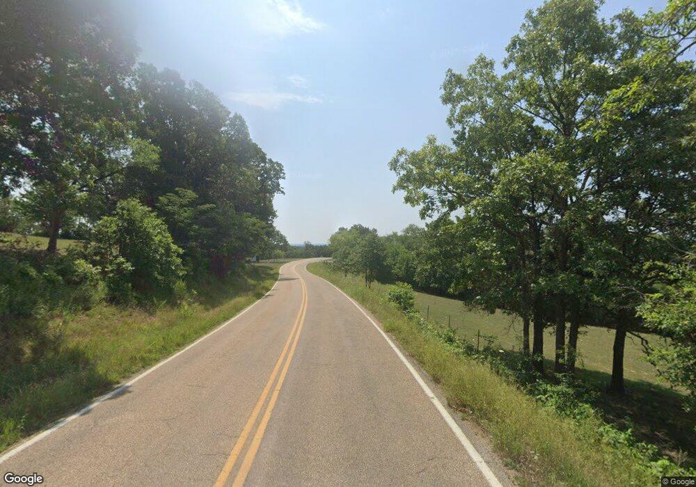
19976 Highway T Richland, MO 65556
Estimated Value: $177,000 - $237,972
2
Beds
2
Baths
2,532
Sq Ft
$86/Sq Ft
Est. Value
About This Home
This home is located at 19976 Highway T, Richland, MO 65556 and is currently estimated at $216,991, approximately $85 per square foot. 19976 Highway T is a home with nearby schools including Swedeborg Elementary School.
Ownership History
Date
Name
Owned For
Owner Type
Purchase Details
Closed on
Aug 1, 2016
Sold by
Cargill Joe D and Cargill Kristina
Bought by
Cargill Rick and Cargill Susan
Current Estimated Value
Purchase Details
Closed on
Dec 14, 2007
Sold by
Nickens & Sons Farm Llc
Bought by
Cargill Joe D and Cargill Kristina M
Home Financials for this Owner
Home Financials are based on the most recent Mortgage that was taken out on this home.
Original Mortgage
$59,300
Interest Rate
6.26%
Mortgage Type
New Conventional
Create a Home Valuation Report for This Property
The Home Valuation Report is an in-depth analysis detailing your home's value as well as a comparison with similar homes in the area
Home Values in the Area
Average Home Value in this Area
Purchase History
| Date | Buyer | Sale Price | Title Company |
|---|---|---|---|
| Cargill Rick | $89,000 | None Available | |
| Cargill Joe D | -- | None Available |
Source: Public Records
Mortgage History
| Date | Status | Borrower | Loan Amount |
|---|---|---|---|
| Previous Owner | Cargill Joe D | $59,300 |
Source: Public Records
Tax History Compared to Growth
Tax History
| Year | Tax Paid | Tax Assessment Tax Assessment Total Assessment is a certain percentage of the fair market value that is determined by local assessors to be the total taxable value of land and additions on the property. | Land | Improvement |
|---|---|---|---|---|
| 2024 | $896 | $21,186 | $3,211 | $17,975 |
| 2023 | $893 | $21,186 | $3,211 | $17,975 |
| 2022 | $879 | $21,186 | $3,211 | $17,975 |
| 2021 | $878 | $21,186 | $3,211 | $17,975 |
| 2020 | $862 | $20,729 | $0 | $0 |
| 2019 | $862 | $20,330 | $0 | $0 |
| 2018 | $861 | $20,330 | $0 | $0 |
| 2017 | $861 | $20,729 | $0 | $0 |
| 2016 | $915 | $21,620 | $0 | $0 |
| 2015 | -- | $21,620 | $0 | $0 |
| 2014 | $917 | $21,620 | $0 | $0 |
Source: Public Records
Map
Nearby Homes
- 0 Unknown Unit MAR24073937
- 0 Rising Mist Dr Tracts 1-2 4-10 Unit 3572016
- 0 Rising Mist Dr Tracts 1-2 4-10 Unit MAR24068047
- 22217 Red Wing Rd
- TBD Highway 17 Tract 11
- 22295 Rhyme Ln
- 0 Highway 17 Tract 12
- 19875 Missouri 17
- 20415 Highway 17
- TBD
- 22197 Reliable Rd
- 0 Tbd Red Oak Rd
- 22130 Rhyme Ln
- Tract 4 Riverside Rd
- 19280 Missouri 17
- TBD Highway 17 Tract 19
- 0 Rochester Rd Unit 23885013
- 0 Rochester Rd Unit MIS25040527
- 26469 Roam Dr
- 23231 Roulette Rd
- 20403 Highway T
- 0 Riverside Ln
- 000 Redding Tract 4 Ln
- 20508 Highway Y
- 19865 Highway T
- 20598 Highway T
- 23891 Redding Ln
- 0 Redding Ln
- 000 Redding Tract 2 Ln
- 20420 Riverside Rd
- 0 Hwy T
- 0 Rowden Ln Unit 12066930
- 20920 Rowden Ln
- 20925 Rowden Ln
- 23891 Redding Lane Tract 3
- 20930 Rowden Ln
- 000 Redding Tract 3 Ln
- 20385 Highway T
- 23891 Redding Tract 2
- 23891 Redding Tract 3 Ln
