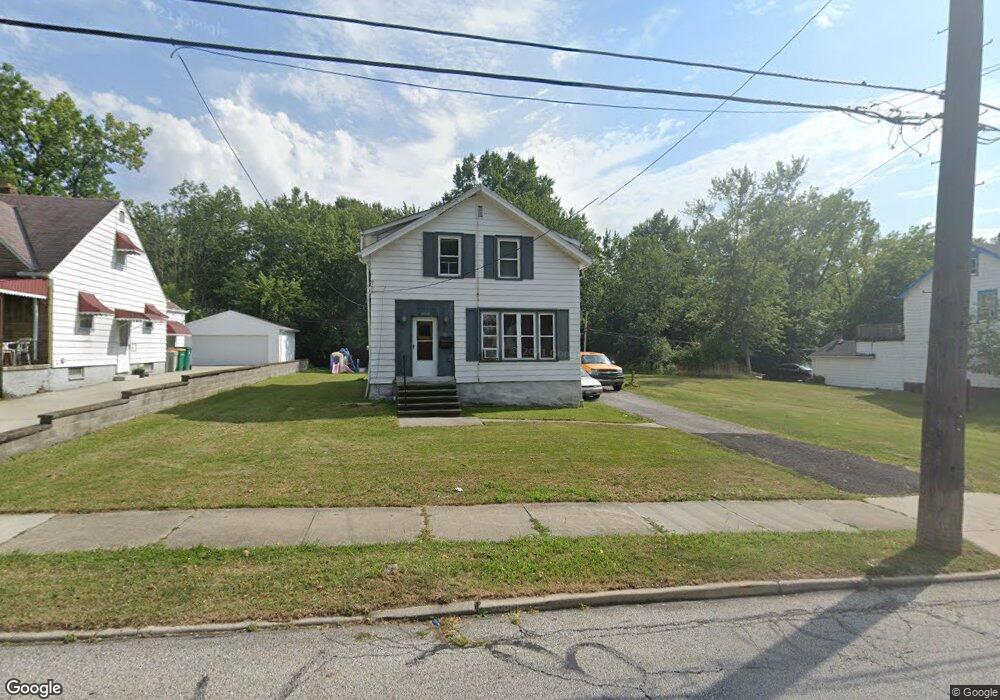
19976 Raymond St Maple Heights, OH 44137
Estimated Value: $120,000 - $159,000
4
Beds
2
Baths
1,680
Sq Ft
$84/Sq Ft
Est. Value
About This Home
This home is located at 19976 Raymond St, Maple Heights, OH 44137 and is currently estimated at $140,985, approximately $83 per square foot. 19976 Raymond St is a home located in Cuyahoga County with nearby schools including Abraham Lincoln Elementary School, Rockside/ J.F. Kennedy School, and Barack Obama School.
Ownership History
Date
Name
Owned For
Owner Type
Purchase Details
Closed on
Mar 6, 2009
Sold by
Maxey Yates Cheryl D and Yates Llyod M
Bought by
Maxey Darryl L
Current Estimated Value
Purchase Details
Closed on
Aug 29, 1979
Sold by
Gentile Larry J and Gentile Darlene
Bought by
Maxey Ernest
Purchase Details
Closed on
Jan 1, 1975
Bought by
Gentile Larry J and Gentile Darlene
Create a Home Valuation Report for This Property
The Home Valuation Report is an in-depth analysis detailing your home's value as well as a comparison with similar homes in the area
Home Values in the Area
Average Home Value in this Area
Purchase History
| Date | Buyer | Sale Price | Title Company |
|---|---|---|---|
| Maxey Darryl L | $10,000 | Attorney | |
| Maxey Ernest | $52,000 | -- | |
| Gentile Larry J | -- | -- |
Source: Public Records
Tax History
| Year | Tax Paid | Tax Assessment Tax Assessment Total Assessment is a certain percentage of the fair market value that is determined by local assessors to be the total taxable value of land and additions on the property. | Land | Improvement |
|---|---|---|---|---|
| 2024 | $3,606 | $38,885 | $9,835 | $29,050 |
| 2023 | $2,461 | $21,840 | $5,670 | $16,170 |
| 2022 | $2,452 | $21,840 | $5,670 | $16,170 |
| 2021 | $2,605 | $21,840 | $5,670 | $16,170 |
| 2020 | $2,246 | $16,560 | $4,310 | $12,250 |
| 2019 | $2,225 | $47,300 | $12,300 | $35,000 |
| 2018 | $2,080 | $16,560 | $4,310 | $12,250 |
| 2017 | $2,107 | $15,200 | $3,960 | $11,240 |
| 2016 | $2,031 | $15,200 | $3,960 | $11,240 |
| 2015 | $9,783 | $15,200 | $3,960 | $11,240 |
| 2014 | $9,783 | $16,700 | $4,340 | $12,360 |
Source: Public Records
Map
Nearby Homes
- 19931 Raymond St
- 5147 Warrensville Center Rd
- 20517 Raymond St
- 20600 Watson Rd
- 19520 Maple Heights Blvd
- 20715 Watson Rd
- 5165 Camden Rd
- 20705 Hansen Rd
- 20806 Clare Ave
- 20905 Clare Ave
- 18990 Raymond St
- 5194 Homewood Ave
- 18851 Raymond St
- 19289 Stafford Ave
- 21202 Hillgrove Ave
- 21207 Franklin Rd
- 18704 Longview Ave
- 21202 Gardenview Dr
- 18715 Libby Rd
- 21600 Franklin Rd
- 20002 Raymond St
- 19970 Raymond St
- 20008 Raymond St
- 19966 Raymond St
- 20040 Raymond St
- 19979 Raymond St
- 19981 Raymond St
- 19900 Raymond St
- 20060 Raymond St
- 20001 Raymond St
- 20021 Raymond St
- 19941 Raymond St
- 19870 Raymond St
- 20080 Raymond St
- 20041 Raymond St
- 19850 Raymond St
- 20100 Raymond St
- 20061 Raymond St
- 19925 Raymond St
- 20081 Raymond St
Your Personal Tour Guide
Ask me questions while you tour the home.