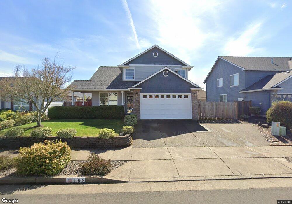
1998 Black Bear Ave SW Albany, OR 97321
South Albany NeighborhoodEstimated Value: $488,927 - $517,000
3
Beds
3
Baths
1,866
Sq Ft
$270/Sq Ft
Est. Value
About This Home
This home is located at 1998 Black Bear Ave SW, Albany, OR 97321 and is currently estimated at $502,964, approximately $269 per square foot. 1998 Black Bear Ave SW is a home located in Linn County with nearby schools including Liberty Elementary School, Memorial Middle School, and West Albany High School.
Ownership History
Date
Name
Owned For
Owner Type
Purchase Details
Closed on
Mar 27, 2023
Sold by
Chapman Shellee L and Pugh Shellee Lee
Bought by
Pugh Shellee Lee
Current Estimated Value
Home Financials for this Owner
Home Financials are based on the most recent Mortgage that was taken out on this home.
Original Mortgage
$229,446
Outstanding Balance
$222,591
Interest Rate
6.6%
Mortgage Type
New Conventional
Estimated Equity
$280,373
Create a Home Valuation Report for This Property
The Home Valuation Report is an in-depth analysis detailing your home's value as well as a comparison with similar homes in the area
Home Values in the Area
Average Home Value in this Area
Purchase History
| Date | Buyer | Sale Price | Title Company |
|---|---|---|---|
| Pugh Shellee Lee | -- | First American Title | |
| Pugh Lance J | -- | First American Title | |
| Pugh Shellee Lee | -- | First American Title |
Source: Public Records
Mortgage History
| Date | Status | Borrower | Loan Amount |
|---|---|---|---|
| Open | Pugh Lance J | $229,446 | |
| Closed | Pugh Shellee Lee | $229,446 |
Source: Public Records
Tax History Compared to Growth
Tax History
| Year | Tax Paid | Tax Assessment Tax Assessment Total Assessment is a certain percentage of the fair market value that is determined by local assessors to be the total taxable value of land and additions on the property. | Land | Improvement |
|---|---|---|---|---|
| 2025 | $5,459 | $274,280 | -- | -- |
| 2024 | $5,300 | $266,300 | -- | -- |
| 2023 | $5,150 | $258,550 | $0 | $0 |
| 2022 | $5,068 | $251,020 | $0 | $0 |
| 2021 | $4,770 | $243,710 | $0 | $0 |
| 2020 | $4,706 | $236,620 | $0 | $0 |
| 2019 | $4,596 | $229,730 | $0 | $0 |
| 2018 | $4,477 | $223,040 | $0 | $0 |
| 2017 | $4,278 | $216,550 | $0 | $0 |
| 2016 | $3,932 | $210,250 | $0 | $0 |
| 2015 | $3,699 | $204,130 | $0 | $0 |
| 2014 | $3,573 | $198,190 | $0 | $0 |
Source: Public Records
Map
Nearby Homes
- 1776 Antelope Cir SW
- 1851 Cougar Ave SW
- 1664 Elk Cir SW
- 2170 Bobcat Ave SW
- 1691 Bobcat Ave SW
- 1562 Beaver Ct SW
- PP2020-49 Lot#2 SW Osprey Ct
- 4714 Willetta St SW
- 2
- 6259 Chapman Place SW
- 1221 36th Ave SW
- 3810 Pacific Blvd SW
- 1023 37th Ave SW
- 1124 Lakewood Dr SW
- 1004 Lakewood Dr SW
- 3282 Pacific Place SW
- 31405 Allen Ln
- 530 34th (-536) Ave SE
- 1712 25th Ave SW
- 312 Rd SE
- 1986 Black Bear Ave SW
- 2010 Black Bear Ave SW
- 2011 Kodiak Ave SW
- 2001 Kodiak Ave SW
- 2023 Kodiak Ave SW
- 1974 Black Bear Ave SW
- 2001 Black Bear Ave SW
- 4987 Chinook Dr SW
- 1989 Black Bear Ave SW
- 1993 Kodiak Ave SW
- 2013 Black Bear Ave SW
- 1977 Black Bear Ave SW
- 5003 Chinook Dr SW
- 1962 Black Bear Ave SW
- 1975 Kodiak Ave SW
- 2025 Black Bear Ave SW
- 1965 Black Bear Ave SW
- 2006 Kodiak Ave SW
- 2002 Coho Ave SW
- 1990 Coho Ave SW