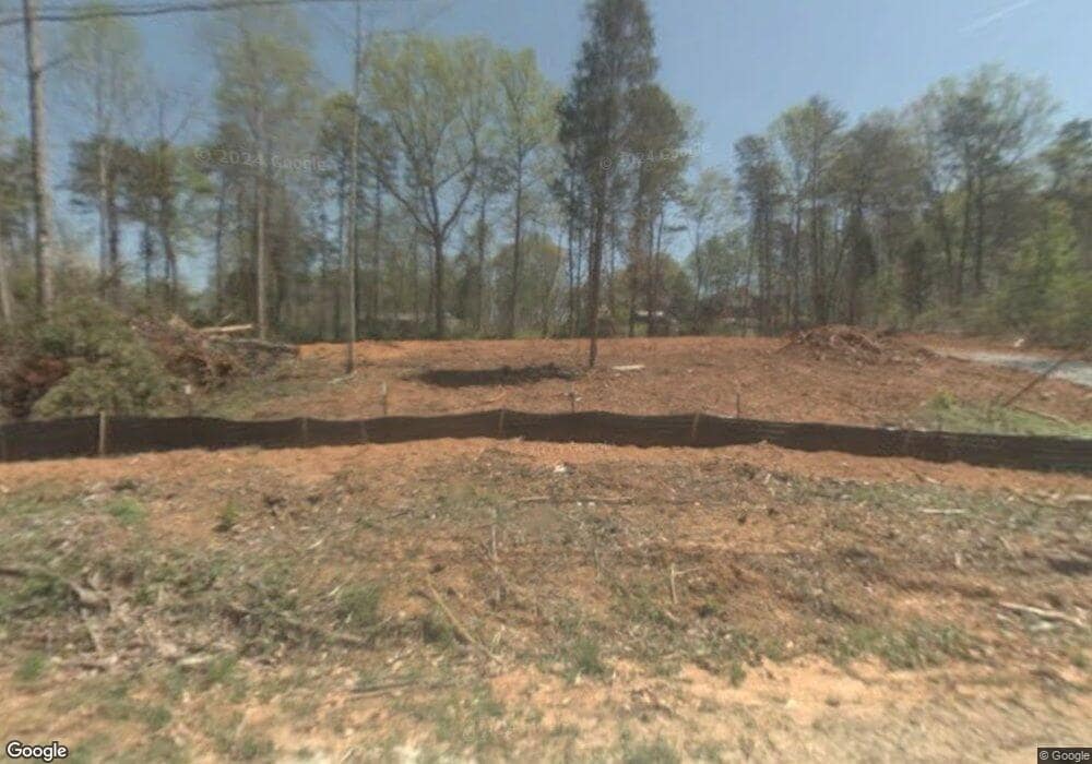
1998 Brookside Ave Newton, NC 28658
Estimated Value: $242,000 - $340,000
3
Beds
2
Baths
2,052
Sq Ft
$134/Sq Ft
Est. Value
About This Home
This home is located at 1998 Brookside Ave, Newton, NC 28658 and is currently estimated at $275,534, approximately $134 per square foot. 1998 Brookside Ave is a home located in Catawba County with nearby schools including Maiden Elementary School, Maiden Middle School, and Maiden High School.
Ownership History
Date
Name
Owned For
Owner Type
Purchase Details
Closed on
Feb 15, 2019
Sold by
Seals Stephen Lee and Seals Wendy T
Bought by
Payseur Tabitha and Shinkovich Steven
Current Estimated Value
Home Financials for this Owner
Home Financials are based on the most recent Mortgage that was taken out on this home.
Original Mortgage
$141,550
Outstanding Balance
$124,448
Interest Rate
4.5%
Mortgage Type
New Conventional
Estimated Equity
$151,086
Purchase Details
Closed on
Aug 12, 2014
Sold by
Seals Stephen Lee and Seals Mary Adams
Bought by
Seals Stephen Lee
Purchase Details
Closed on
Aug 22, 2012
Sold by
Secretary Of Housing & Urban Development
Bought by
Seals Stephens and Seals Mary
Home Financials for this Owner
Home Financials are based on the most recent Mortgage that was taken out on this home.
Original Mortgage
$106,735
Interest Rate
3.55%
Mortgage Type
FHA
Purchase Details
Closed on
Dec 20, 2011
Sold by
Wells Fargo Bank Na
Bought by
Secretary Of Housing & Urban Development
Purchase Details
Closed on
Nov 8, 2011
Sold by
Banks Johnny A
Bought by
Wells Fargo Bank Na
Purchase Details
Closed on
Jul 25, 2008
Sold by
Sigmon & Sons
Bought by
Banks Johnny
Home Financials for this Owner
Home Financials are based on the most recent Mortgage that was taken out on this home.
Original Mortgage
$207,740
Interest Rate
6.43%
Mortgage Type
FHA
Purchase Details
Closed on
Dec 19, 1959
Create a Home Valuation Report for This Property
The Home Valuation Report is an in-depth analysis detailing your home's value as well as a comparison with similar homes in the area
Home Values in the Area
Average Home Value in this Area
Purchase History
| Date | Buyer | Sale Price | Title Company |
|---|---|---|---|
| Payseur Tabitha | $149,000 | None Available | |
| Seals Stephen Lee | -- | None Available | |
| Seals Stephens | -- | None Available | |
| Secretary Of Housing & Urban Development | -- | None Available | |
| Wells Fargo Bank Na | $224,334 | None Available | |
| Banks Johnny | $20,000 | None Available | |
| -- | $5,500 | -- |
Source: Public Records
Mortgage History
| Date | Status | Borrower | Loan Amount |
|---|---|---|---|
| Open | Payseur Tabitha | $141,550 | |
| Previous Owner | Seals Stephens | $106,735 | |
| Previous Owner | Banks Johnny | $207,740 |
Source: Public Records
Tax History Compared to Growth
Tax History
| Year | Tax Paid | Tax Assessment Tax Assessment Total Assessment is a certain percentage of the fair market value that is determined by local assessors to be the total taxable value of land and additions on the property. | Land | Improvement |
|---|---|---|---|---|
| 2025 | $1,423 | $284,800 | $17,000 | $267,800 |
| 2024 | $1,423 | $284,800 | $17,000 | $267,800 |
| 2023 | $1,423 | $284,800 | $17,000 | $267,800 |
| 2022 | $1,118 | $154,200 | $17,000 | $137,200 |
| 2021 | $1,087 | $154,200 | $17,000 | $137,200 |
| 2020 | $1,087 | $154,200 | $17,000 | $137,200 |
| 2019 | $1,072 | $154,200 | $0 | $0 |
| 2018 | $1,020 | $146,800 | $16,500 | $130,300 |
| 2017 | $976 | $0 | $0 | $0 |
| 2016 | $976 | $0 | $0 | $0 |
| 2015 | $826 | $146,800 | $16,500 | $130,300 |
| 2014 | $826 | $137,600 | $18,400 | $119,200 |
Source: Public Records
Map
Nearby Homes
- 2282 Rome Jones Rd
- 2112 Sunflower Cir
- 2100 Sunflower Cir
- 2106 Sunflower Cir
- 2094 Sunflower Cir
- 2130 Sunflower Cir
- Edenton Plan at Buffalo Ridge
- Chatham Basement Plan at Buffalo Ridge
- Dakota Basement Plan at Buffalo Ridge
- Dakota Plan at Buffalo Ridge
- Cottonwood Plan at Buffalo Ridge
- Chatham Plan at Buffalo Ridge
- Lennon Plan at Buffalo Ridge
- Rockwell Plan at Buffalo Ridge
- Manchester Plan at Buffalo Ridge
- Dallas Plan at Buffalo Ridge
- 425 E N St
- 2111 Sunflower Cir
- 2101 Sunflower Cir
- 2073 Sunflower Cir
- 1998 Brookside Ave Unit 3,4
- 2012 Brookside Ave
- 1070 Lakewood Dr
- 2022 Brookside Ave
- 1978 Brookside Ave
- 1999 Forest Park Ave
- 1983 Forest Park Ave
- 1030 Lakewood Dr
- 1977 Brookside Ave
- 1963 Forest Park Ave
- 1994 Forest Park Ave
- 1951 Forest Park Ave
- 1944 Brookside Ave
- 1964 Forest Park Ave
- 1059 Lakewood Dr
- 2050 S Us 321 Hwy
- 2028 S Us 321 Hwy
- 1931 Brookside Ave
- 2016 S Us 321 Hwy
- 2064 S Us 321 Hwy
