1998 Cassia Rd Adrian, OR 97901
Estimated Value: $866,000
Studio
--
Bath
2,502
Sq Ft
$346/Sq Ft
Est. Value
About This Home
This home is located at 1998 Cassia Rd, Adrian, OR 97901 and is currently estimated at $866,000, approximately $346 per square foot. 1998 Cassia Rd is a home located in Malheur County with nearby schools including Adrian Elementary School and Adrian High School.
Ownership History
Date
Name
Owned For
Owner Type
Purchase Details
Closed on
Aug 14, 2014
Sold by
Zueger Joseph E
Bought by
Zueger Joseph E and Baker Terrie S
Current Estimated Value
Home Financials for this Owner
Home Financials are based on the most recent Mortgage that was taken out on this home.
Original Mortgage
$205,000
Outstanding Balance
$153,848
Interest Rate
3.85%
Mortgage Type
Adjustable Rate Mortgage/ARM
Estimated Equity
$712,152
Purchase Details
Closed on
Mar 26, 1999
Sold by
Zueger Helen R
Bought by
Zueger Joseph E
Create a Home Valuation Report for This Property
The Home Valuation Report is an in-depth analysis detailing your home's value as well as a comparison with similar homes in the area
Purchase History
| Date | Buyer | Sale Price | Title Company |
|---|---|---|---|
| Zueger Joseph E | -- | Amerititle | |
| Zueger Joseph E | $120,000 | None Available |
Source: Public Records
Mortgage History
| Date | Status | Borrower | Loan Amount |
|---|---|---|---|
| Open | Zueger Joseph E | $205,000 |
Source: Public Records
Tax History
| Year | Tax Paid | Tax Assessment Tax Assessment Total Assessment is a certain percentage of the fair market value that is determined by local assessors to be the total taxable value of land and additions on the property. | Land | Improvement |
|---|---|---|---|---|
| 2025 | $2,546 | $232,588 | $45,393 | $187,195 |
| 2024 | $2,578 | $225,952 | $44,209 | $181,743 |
| 2023 | $2,358 | $219,511 | $43,061 | $176,450 |
| 2022 | $2,220 | $213,255 | $41,944 | $171,311 |
| 2021 | $2,297 | $206,986 | $40,664 | $166,322 |
| 2020 | $2,217 | $201,151 | $39,673 | $161,478 |
| 2019 | $2,192 | $195,385 | $38,610 | $156,775 |
| 2018 | $2,152 | $189,885 | $37,676 | $152,209 |
| 2017 | $2,011 | $184,544 | $36,768 | $147,776 |
| 2016 | $2,037 | $179,360 | $35,888 | $143,472 |
| 2015 | $1,487 | $133,795 | $33,031 | $100,764 |
| 2014 | $525 | $41,631 | $34,101 | $7,530 |
Source: Public Records
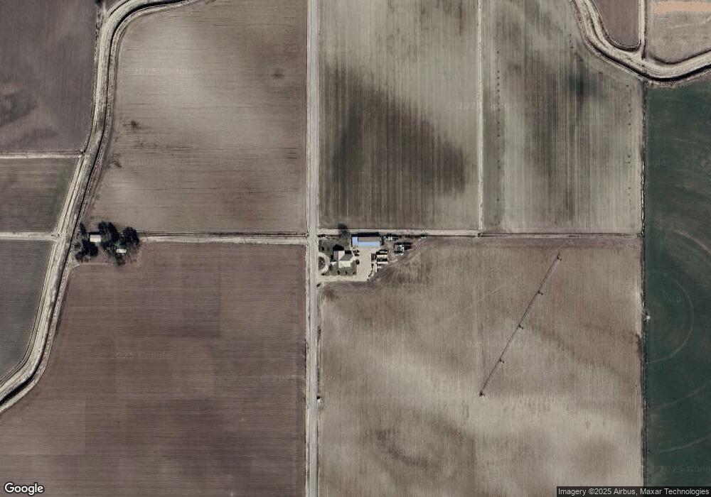
Map
Nearby Homes
- Lot 2B Clydesdale Ln
- TBD Monte Rd
- Lot 3B Drum Ln
- Lot 5A Drum Ln
- 4.8acTBD Chips Ln
- 26635 Pioneer Ln
- 26915 Chips Ln
- 646 Overstreet Rd
- 23743 Stephen Ln
- 887 Overstreet Rd
- 1964 River Rd
- 00 Peckham Rd
- 0 Tbd Stephen Ln
- 933 Overstreet Rd
- 830 Snively Gulch Rd
- TBD Snively Gulch Rd
- 20383 Riverpoint Ln
- 0 Riverpoint Ln
- TBD Kygar Rd
- 0 Rodeo Ln
- 1999 Cassia Rd
- 1950 Cassia Rd
- 1975 Cassia Rd
- 2068 Cassia Rd
- 2009 Stateline Rd
- 561 Maulsing Rd
- 561 Maulsing Rd
- 24232 State Line Rd
- 647 Russett Rd
- 2071 Cassia Rd
- 23938 State Line Rd
- 630 Foxtail Rd
- 24448 Canal Rd
- 23946 State Line Rd
- 2077 Stateline Rd
- 627 Foxtail Rd
- 2058 Primrose Rd
- 1985 Primrose Rd
- 1976 Primrose Rd
- 2064 Primrose Rd
Your Personal Tour Guide
Ask me questions while you tour the home.