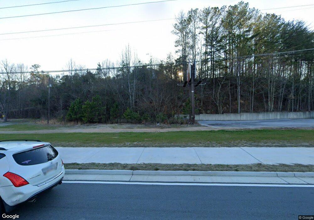
Estimated Value: $307,000 - $407,000
4
Beds
4
Baths
1,776
Sq Ft
$197/Sq Ft
Est. Value
About This Home
This home is located at 1998 Hiram Douglasville Hwy, Hiram, GA 30141 and is currently estimated at $349,359, approximately $196 per square foot. 1998 Hiram Douglasville Hwy is a home located in Paulding County with nearby schools including Sam D. Panter Elementary School, J. A. Dobbins Middle School, and Hiram High School.
Ownership History
Date
Name
Owned For
Owner Type
Purchase Details
Closed on
Mar 30, 2023
Sold by
Rosser Sonya
Bought by
Rosser Sonya and Rosser Dennis
Current Estimated Value
Purchase Details
Closed on
Mar 17, 2021
Sold by
Patel Pravinchandra C
Bought by
Rosser Sonya
Purchase Details
Closed on
May 15, 2018
Sold by
Mayfield Bradford W
Bought by
Mayfield Terry Wayne
Purchase Details
Closed on
Jul 22, 2013
Sold by
Mayfield Bradford Watson Estate
Purchase Details
Closed on
Sep 17, 2010
Sold by
Mayfield Bradford W and Mayfield Georgie
Bought by
Mayfield B W
Create a Home Valuation Report for This Property
The Home Valuation Report is an in-depth analysis detailing your home's value as well as a comparison with similar homes in the area
Home Values in the Area
Average Home Value in this Area
Purchase History
| Date | Buyer | Sale Price | Title Company |
|---|---|---|---|
| Rosser Sonya | -- | -- | |
| Rosser Sonya | $190,000 | -- | |
| Mayfield Terry Wayne | -- | -- | |
| -- | -- | -- | |
| Mayfield B W | -- | -- |
Source: Public Records
Tax History Compared to Growth
Tax History
| Year | Tax Paid | Tax Assessment Tax Assessment Total Assessment is a certain percentage of the fair market value that is determined by local assessors to be the total taxable value of land and additions on the property. | Land | Improvement |
|---|---|---|---|---|
| 2024 | $3,457 | $142,208 | $20,480 | $121,728 |
| 2023 | $3,454 | $135,032 | $19,960 | $115,072 |
| 2022 | $1,981 | $123,108 | $16,640 | $106,468 |
| 2021 | $2,742 | $94,368 | $9,680 | $84,688 |
| 2020 | $1,759 | $85,716 | $9,120 | $76,596 |
| 2019 | $2,366 | $78,520 | $13,360 | $65,160 |
| 2018 | $1,699 | $56,400 | $5,640 | $50,760 |
| 2017 | $1,567 | $51,280 | $5,640 | $45,640 |
| 2016 | $1,410 | $46,640 | $5,640 | $41,000 |
| 2015 | $1,392 | $45,240 | $5,640 | $39,600 |
| 2014 | $1,378 | $43,640 | $5,640 | $38,000 |
| 2013 | -- | $33,160 | $5,640 | $27,520 |
Source: Public Records
Map
Nearby Homes
- 45 Laird Rd
- 41 Laird Rd
- 74 Bonds Ct
- 7606 Nebo Rd
- 261 Township Dr
- 2598 Hiram Douglasville Hwy
- 175 Arnold Ln
- 149 Willow Bend Rd
- 133 Willow Bend Rd
- 7012 Nebo Rd
- 138 Gorham Gates Dr
- 2393 Bill Carruth Pkwy
- 149 Willow Bend Dr
- 133 Willow Bend Dr
- 153 Oak St
- 98 Baywood Way
- 554 Morningside Dr
- 139 Valerie Cir
- 480 Pool Rd
- 1980 Hiram Douglasville Hwy
- 2056 Hiram Douglasville Hwy
- 1975 Hiram Douglasville Hwy
- 93 Laird Rd
- 8101 Nebo Rd
- 7995 Nebo Rd
- 179 Laird Rd
- 2055 Hiram Douglasville Hwy
- 0 Eberhart Dr Unit 8440421
- 000 Eberhart Dr
- 00 N Davis Mill Rd
- 00 Highway 92
- Lot68 Unassigned Address
- 000 Hwy 278
- 000000 Gorham Gates Dr
- 0 Unassigned Address Unit 8300777
- 000 Unassigned Address
- 0 Highland Falls Pavilion Unit 8241492
- 0 Seaboard Township Unit 2918793
- 0 Seaboard Township Unit 4103303
