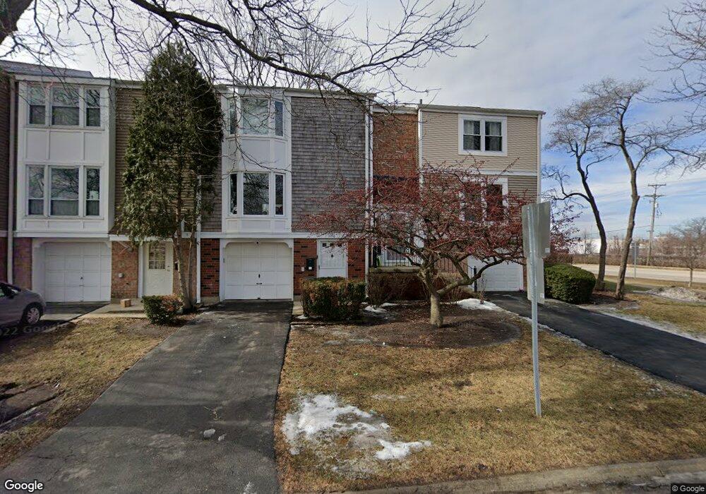
1998 Holbrook Ln Unit 2 Hoffman Estates, IL 60169
South Hoffman Estates NeighborhoodEstimated Value: $256,000 - $307,000
3
Beds
3
Baths
1,360
Sq Ft
$211/Sq Ft
Est. Value
About This Home
This home is located at 1998 Holbrook Ln Unit 2, Hoffman Estates, IL 60169 and is currently estimated at $287,210, approximately $211 per square foot. 1998 Holbrook Ln Unit 2 is a home located in Cook County with nearby schools including John Muir Literacy Academy, Dwight D Eisenhower Junior High School, and Hoffman Estates High School.
Ownership History
Date
Name
Owned For
Owner Type
Purchase Details
Closed on
Jul 11, 2000
Sold by
Ostrowski Josephine
Bought by
Singh Balbir and Singh Harbhajan
Current Estimated Value
Home Financials for this Owner
Home Financials are based on the most recent Mortgage that was taken out on this home.
Original Mortgage
$102,400
Outstanding Balance
$34,981
Interest Rate
8.19%
Estimated Equity
$252,229
Create a Home Valuation Report for This Property
The Home Valuation Report is an in-depth analysis detailing your home's value as well as a comparison with similar homes in the area
Home Values in the Area
Average Home Value in this Area
Purchase History
| Date | Buyer | Sale Price | Title Company |
|---|---|---|---|
| Singh Balbir | $128,000 | -- | |
| Gilligan M Rosalie | -- | -- |
Source: Public Records
Mortgage History
| Date | Status | Borrower | Loan Amount |
|---|---|---|---|
| Open | Singh Balbir | $102,400 |
Source: Public Records
Tax History
| Year | Tax Paid | Tax Assessment Tax Assessment Total Assessment is a certain percentage of the fair market value that is determined by local assessors to be the total taxable value of land and additions on the property. | Land | Improvement |
|---|---|---|---|---|
| 2025 | $4,813 | $25,000 | $3,024 | $21,976 |
| 2024 | $4,813 | $19,000 | $3,000 | $16,000 |
| 2023 | $4,627 | $19,000 | $3,000 | $16,000 |
| 2022 | $4,627 | $19,000 | $3,000 | $16,000 |
| 2021 | $3,601 | $14,077 | $2,381 | $11,696 |
| 2020 | $3,741 | $14,536 | $2,381 | $12,155 |
| 2019 | $3,725 | $16,152 | $2,381 | $13,771 |
| 2018 | $3,824 | $15,162 | $2,079 | $13,083 |
| 2017 | $3,775 | $15,162 | $2,079 | $13,083 |
| 2016 | $3,773 | $15,162 | $2,079 | $13,083 |
| 2015 | $3,117 | $12,327 | $1,814 | $10,513 |
| 2014 | $3,079 | $12,327 | $1,814 | $10,513 |
| 2013 | $3,315 | $13,412 | $1,814 | $11,598 |
Source: Public Records
Map
Nearby Homes
- 2267 Briar Ct Unit 65
- 2051 Kettering Rd Unit 2
- 1933 Williamsburg Dr Unit 1
- 2021 Kensington Ln Unit 3004
- 2027 Kensington Ln Unit 3001
- 2025 Kensington Ln Unit 3002
- 2023 Kensington Ln Unit 3003
- 1792 Williamsburg Dr
- 1659 Islandview Ct
- 1975 Kenilworth Cir Unit B
- 1930 Kenilworth Cir Unit E
- 1724 Fayette Walk Unit J
- 1576 Poplar Creek Dr
- 1587 Brookside Dr
- 1769 Sessions Walk Unit C
- 1712 Fayette Walk Unit D
- 1880 Bonnie Ln Unit 112
- 2222 Seaver Ln
- 1500 Robin Cir Unit 314
- 1975 Windsong Dr Unit 333E1
- 1996 Holbrook Ln Unit 2
- 1994 Holbrook Ln Unit 2
- 1992 Holbrook Ln
- 1990 Holbrook Ln Unit 2
- 1988 Holbrook Ln Unit 2
- 2167 Hassell Rd Unit 2
- 1986 Holbrook Ln Unit 2
- 2163 Hassell Rd Unit 2
- 1984 Holbrook Ln Unit 2
- 1982 Holbrook Ln Unit 2
- 2159 Hassell Rd Unit 2
- 2159 Hassell Rd Unit 1
- 1989 Blackberry Ln Unit 111
- 2155 Hassell Rd Unit 2
- 2166 Greystone Place Unit 2
- 2162 Greystone Place Unit 2
- 2151 Hassell Rd Unit 2
- 1981 Blackberry Ln Unit 113
- 2158 Greystone Place Unit 2
- 1973 Blackberry Ln Unit 115
Your Personal Tour Guide
Ask me questions while you tour the home.