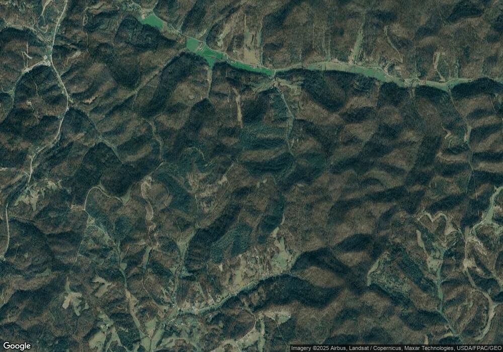
1998 N Ridge Rd Ripley, WV 25271
Estimated Value: $366,000 - $391,394
4
Beds
3
Baths
2,550
Sq Ft
$149/Sq Ft
Est. Value
About This Home
This home is located at 1998 N Ridge Rd, Ripley, WV 25271 and is currently estimated at $378,697, approximately $148 per square foot. 1998 N Ridge Rd is a home located in Jackson County with nearby schools including Ripley Elementary School, Ripley Middle School, and Ripley High School.
Ownership History
Date
Name
Owned For
Owner Type
Purchase Details
Closed on
Jun 8, 2007
Sold by
Mangus Jeff and Mangus Tina
Bought by
Mckay Ronald I and Mckay Vicki L
Current Estimated Value
Home Financials for this Owner
Home Financials are based on the most recent Mortgage that was taken out on this home.
Original Mortgage
$24,100
Interest Rate
6.24%
Purchase Details
Closed on
May 30, 2006
Sold by
Miller Charles W and Miller Twila J
Bought by
Mangus Jeff and Mangus Tina
Home Financials for this Owner
Home Financials are based on the most recent Mortgage that was taken out on this home.
Original Mortgage
$207,000
Interest Rate
6.62%
Create a Home Valuation Report for This Property
The Home Valuation Report is an in-depth analysis detailing your home's value as well as a comparison with similar homes in the area
Home Values in the Area
Average Home Value in this Area
Purchase History
| Date | Buyer | Sale Price | Title Company |
|---|---|---|---|
| Mckay Ronald I | -- | -- | |
| Mangus Jeff | $230,000 | -- |
Source: Public Records
Mortgage History
| Date | Status | Borrower | Loan Amount |
|---|---|---|---|
| Closed | Mckay Ronald I | $24,100 | |
| Open | Mckay Ronald I | $192,800 | |
| Previous Owner | Mangus Jeff | $207,000 |
Source: Public Records
Tax History Compared to Growth
Tax History
| Year | Tax Paid | Tax Assessment Tax Assessment Total Assessment is a certain percentage of the fair market value that is determined by local assessors to be the total taxable value of land and additions on the property. | Land | Improvement |
|---|---|---|---|---|
| 2024 | $85 | $6,780 | $6,780 | $0 |
| 2023 | $85 | $6,780 | $6,780 | $0 |
| 2022 | $82 | $6,540 | $6,540 | $0 |
| 2021 | $82 | $6,540 | $6,540 | $0 |
| 2020 | $81 | $6,540 | $6,540 | $0 |
| 2019 | $78 | $6,240 | $6,240 | $0 |
| 2018 | $75 | $6,000 | $6,000 | $0 |
| 2017 | $75 | $6,000 | $6,000 | $0 |
| 2016 | $72 | $5,760 | $5,760 | $0 |
| 2015 | $72 | $5,760 | $5,760 | $0 |
| 2014 | $72 | $5,760 | $5,760 | $0 |
Source: Public Records
Map
Nearby Homes
- 0 Pinnell St
- 0 Stone St Unit 225154
- 0 Memorial Dr
- 0 Klondyke Rd
- 207 North St W
- 0 Walters Run
- 310 Bridge St
- 301 Sycamore St
- 301 6th St
- 109 Hall St
- 320 Klondyke Rd
- 0 Willow Bend Ln
- 0 Ridgeview Dr
- 109 1/2 Hillcrest Dr
- 196 Sycamore Creek Rd
- 248 1st Ave
- 0 Deltarona Rd Unit 280035
- 849 Random Rd
- 307 2nd Ave
- 4-11 Highlawn Heights
- 86 Falcon Dr
- 84 Falcon Dr
- 1147 Clay Lick Rd
- 1071 Clay Lick Rd
- 243 Burnt Run Rd
- 534 Carnian Ford Rd
- 564 Carnian Ford Rd
- 3 Burnt Run Rd
- 1 Burnt Run Rd
- 2 Burnt Run Rd
- 600 Carnian Ford Rd
- 614 Carnian Ford Rd
- 231 Burnt Run Rd
- 161 Burnt Run Rd
- 604 Carnian Ford Rd
- 825 Clay Lick Rd
- 754 Clay Lick Rd
- 11 Meadowcrest Dr
- 18 Meadowcrest Dr
- 15 Meadowcrest Dr
