Estimated Value: $460,000 - $518,000
3
Beds
3
Baths
2,662
Sq Ft
$184/Sq Ft
Est. Value
About This Home
This home is located at 1999 Baker Ln, Stow, OH 44224 and is currently estimated at $490,976, approximately $184 per square foot. 1999 Baker Ln is a home with nearby schools including Stow-Munroe Falls High School, Primrose School of Hudson, and Holy Family Elementary School.
Ownership History
Date
Name
Owned For
Owner Type
Purchase Details
Closed on
Oct 27, 2017
Sold by
Pulte Homes Of Ohio Llc
Bought by
Bradley Matthew John and Bradley Kelly Nicole
Current Estimated Value
Home Financials for this Owner
Home Financials are based on the most recent Mortgage that was taken out on this home.
Original Mortgage
$294,313
Outstanding Balance
$246,163
Interest Rate
3.78%
Mortgage Type
New Conventional
Estimated Equity
$244,813
Create a Home Valuation Report for This Property
The Home Valuation Report is an in-depth analysis detailing your home's value as well as a comparison with similar homes in the area
Home Values in the Area
Average Home Value in this Area
Purchase History
| Date | Buyer | Sale Price | Title Company |
|---|---|---|---|
| Bradley Matthew John | $327,015 | None Available |
Source: Public Records
Mortgage History
| Date | Status | Borrower | Loan Amount |
|---|---|---|---|
| Open | Bradley Matthew John | $294,313 |
Source: Public Records
Tax History Compared to Growth
Tax History
| Year | Tax Paid | Tax Assessment Tax Assessment Total Assessment is a certain percentage of the fair market value that is determined by local assessors to be the total taxable value of land and additions on the property. | Land | Improvement |
|---|---|---|---|---|
| 2025 | $7,633 | $135,958 | $26,072 | $109,886 |
| 2024 | $7,633 | $135,958 | $26,072 | $109,886 |
| 2023 | $7,633 | $135,958 | $26,072 | $109,886 |
| 2022 | $6,982 | $109,827 | $21,025 | $88,802 |
| 2021 | $6,248 | $109,827 | $21,025 | $88,802 |
| 2020 | $6,140 | $109,830 | $21,030 | $88,800 |
| 2019 | $6,531 | $109,300 | $21,030 | $88,270 |
| 2018 | $6,469 | $108,340 | $21,030 | $87,310 |
| 2017 | $0 | $21,030 | $21,030 | $0 |
| 2016 | $248 | $2,950 | $2,950 | $0 |
Source: Public Records
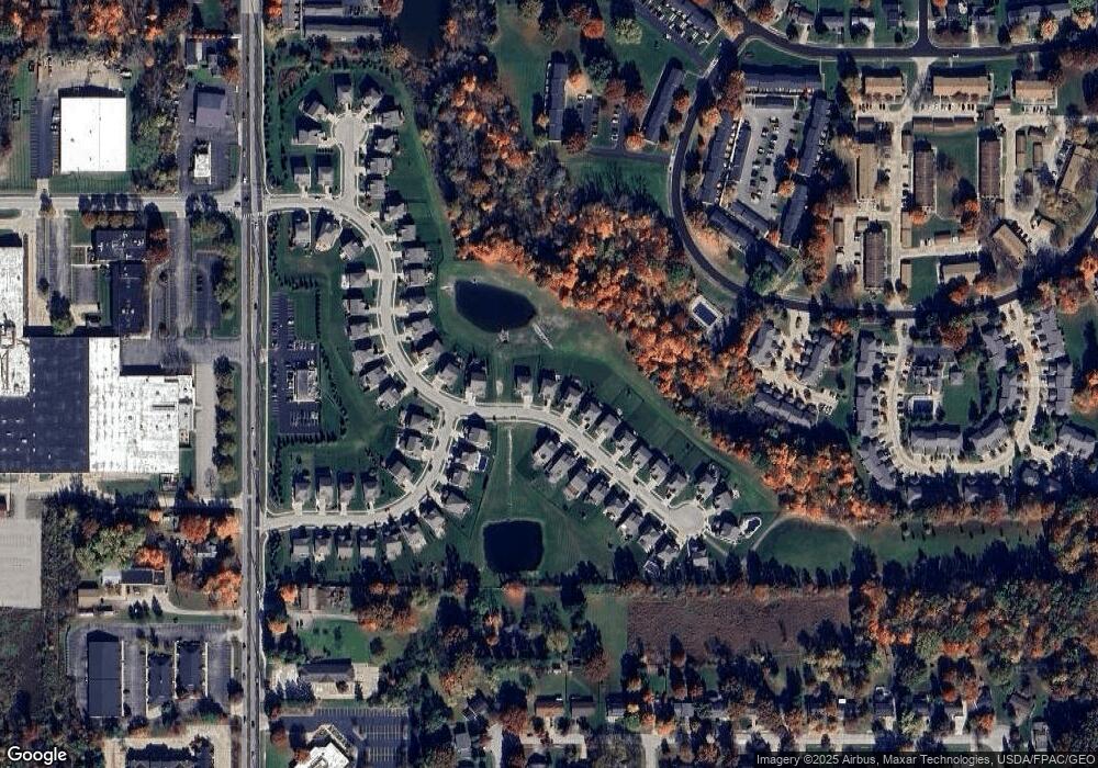
Map
Nearby Homes
- 1937 Leisure Ln
- 1808 Higby Dr Unit A
- 1938 Higby Dr
- 1627 Cypress Ct
- 4630 Red Willow Rd
- 0 Hibbard Dr
- 2140 Woodlawn Cir Unit 2144
- 4877 Cedar Crest Ln
- 1664 Cypress Ct
- 4891 Cedar Crest Ln
- 1470 Mac Dr
- 1511 Apollo Dr
- 0 Stow Rd Unit 5102979
- 2327 Crockett Cir
- 4322 Lorwood Dr
- 5072 Commanche Trail
- 2380 Port Williams Dr Unit 2380
- 4903 Fishcreek Rd Unit 11B
- 2444 Port Charles Dr
- 4120 Klein Ave
- 2003 Baker Ln
- 1995 Baker Ln
- 2004 Baker Ln
- 2007 Baker Ln
- 2013 Baker Ln
- 2010 Inverness Ln
- 1983 Baker Ln
- 1958 Leisure Ln
- 2019 Baker Ln
- 2016 Baker Ln
- 1952 Inverness Ln
- 1952 Leisure Ln
- 2022 Inverness Ln
- 2025 Baker Ln
- 1946 Leisure Ln
- 1946 Inverness Ln
- 1967 Baker Ln
- 2028 Baker Ln
- 1940 Leisure Ln
- 1949 Leisure Ln