1999 Blair Ct Bel Air, MD 21015
Estimated Value: $397,000 - $448,000
--
Bed
3
Baths
1,864
Sq Ft
$227/Sq Ft
Est. Value
About This Home
This home is located at 1999 Blair Ct, Bel Air, MD 21015 and is currently estimated at $423,180, approximately $227 per square foot. 1999 Blair Ct is a home located in Harford County with nearby schools including Prospect Mill Elementary School, Southampton Middle School, and C. Milton Wright High School.
Ownership History
Date
Name
Owned For
Owner Type
Purchase Details
Closed on
Jun 27, 2005
Sold by
Posner Victor
Bought by
Coliano Anthony P
Current Estimated Value
Home Financials for this Owner
Home Financials are based on the most recent Mortgage that was taken out on this home.
Original Mortgage
$288,900
Outstanding Balance
$164,742
Interest Rate
7.12%
Mortgage Type
Adjustable Rate Mortgage/ARM
Estimated Equity
$258,438
Purchase Details
Closed on
Jun 2, 2005
Sold by
Posner Victor
Bought by
Coliano Anthony P
Home Financials for this Owner
Home Financials are based on the most recent Mortgage that was taken out on this home.
Original Mortgage
$288,900
Outstanding Balance
$164,742
Interest Rate
7.12%
Mortgage Type
Adjustable Rate Mortgage/ARM
Estimated Equity
$258,438
Create a Home Valuation Report for This Property
The Home Valuation Report is an in-depth analysis detailing your home's value as well as a comparison with similar homes in the area
Home Values in the Area
Average Home Value in this Area
Purchase History
| Date | Buyer | Sale Price | Title Company |
|---|---|---|---|
| Coliano Anthony P | $339,900 | -- | |
| Coliano Anthony P | $339,900 | -- |
Source: Public Records
Mortgage History
| Date | Status | Borrower | Loan Amount |
|---|---|---|---|
| Open | Coliano Anthony P | $288,900 | |
| Closed | Coliano Anthony P | $288,900 |
Source: Public Records
Tax History Compared to Growth
Tax History
| Year | Tax Paid | Tax Assessment Tax Assessment Total Assessment is a certain percentage of the fair market value that is determined by local assessors to be the total taxable value of land and additions on the property. | Land | Improvement |
|---|---|---|---|---|
| 2025 | $3,274 | $315,300 | $85,000 | $230,300 |
| 2024 | $3,274 | $300,433 | $0 | $0 |
| 2023 | $3,112 | $285,567 | $0 | $0 |
| 2022 | $2,950 | $270,700 | $85,000 | $185,700 |
| 2021 | $2,975 | $264,233 | $0 | $0 |
| 2020 | $2,975 | $257,767 | $0 | $0 |
| 2019 | $2,900 | $251,300 | $65,000 | $186,300 |
| 2018 | $2,843 | $248,567 | $0 | $0 |
| 2017 | $2,811 | $251,300 | $0 | $0 |
| 2016 | $140 | $243,100 | $0 | $0 |
| 2015 | $2,856 | $241,233 | $0 | $0 |
| 2014 | $2,856 | $239,367 | $0 | $0 |
Source: Public Records
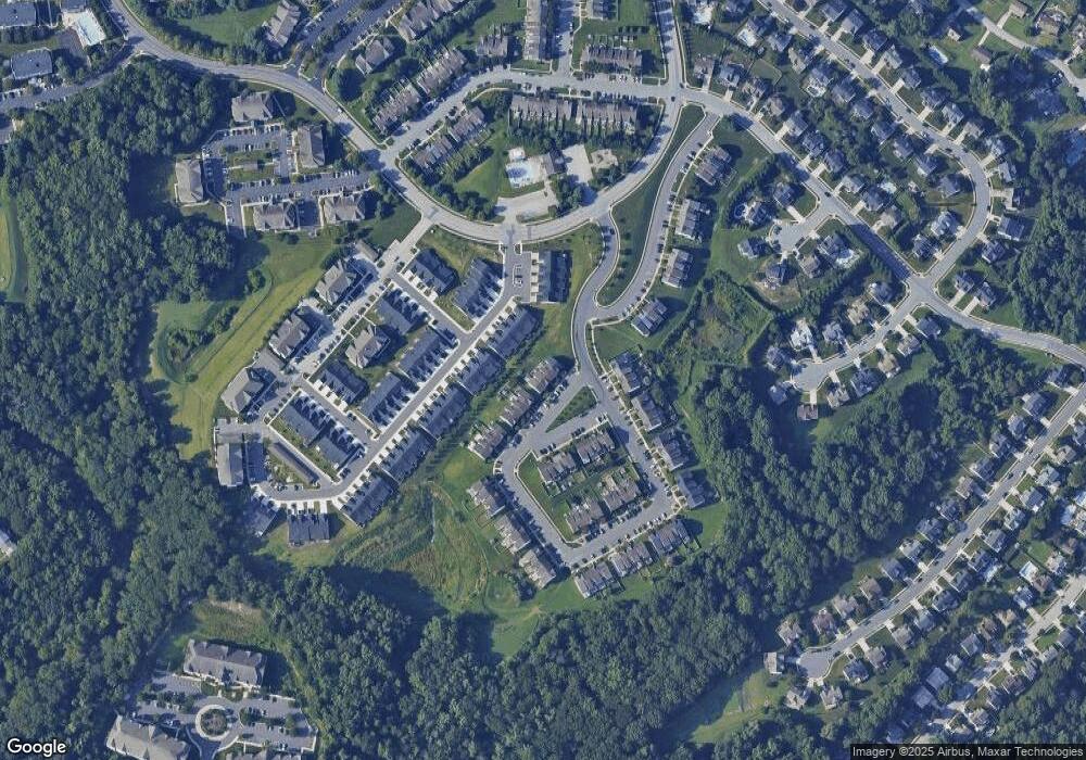
Map
Nearby Homes
- 1818 Selvin Dr Unit 202
- 1313 Kelsey Ct
- 1600 Martha Ct Unit 304
- 1600 Martha Ct Unit 301
- 1309 Sheridan Place Unit 99
- 1301 Sheridan Place Unit 1301-G
- 1402 Bonnett Place Unit 131
- 1310 Sheridan Place Unit 108-17
- 1314 Scottsdale Dr Unit G
- 1307 Scottsdale Dr Unit J
- 1307 Scottsdale Dr Unit G
- 1310 Scottsdale Dr Unit R
- 1304 Scottsdale Dr Unit P
- 1505 Southview Rd
- 1453 Redfield Rd
- 1219 Starmount Ln
- 1335 Artists Ln
- 1502 Brierhill Estates Dr
- 4 Ashley Way
- 927 Jackson Blvd