1999 Cedar Park Dr Point Roberts, WA 98281
Estimated Value: $308,800 - $385,000
2
Beds
1
Bath
896
Sq Ft
$380/Sq Ft
Est. Value
About This Home
This home is located at 1999 Cedar Park Dr, Point Roberts, WA 98281 and is currently estimated at $340,200, approximately $379 per square foot. 1999 Cedar Park Dr is a home located in Whatcom County with nearby schools including Point Roberts Primary School, Blaine Middle School, and Blaine High School.
Ownership History
Date
Name
Owned For
Owner Type
Purchase Details
Closed on
Jun 17, 2021
Sold by
Fitzsimmon Robert G
Bought by
Fitzsimmons Robert Gregory
Current Estimated Value
Purchase Details
Closed on
Jun 23, 2010
Sold by
Moore Richard A and Moore Susan M
Bought by
Fitzsimmons Robert G and Fitzsimmons Judith A
Home Financials for this Owner
Home Financials are based on the most recent Mortgage that was taken out on this home.
Original Mortgage
$55,000
Outstanding Balance
$36,589
Interest Rate
4.82%
Mortgage Type
Future Advance Clause Open End Mortgage
Estimated Equity
$303,611
Create a Home Valuation Report for This Property
The Home Valuation Report is an in-depth analysis detailing your home's value as well as a comparison with similar homes in the area
Home Values in the Area
Average Home Value in this Area
Purchase History
| Date | Buyer | Sale Price | Title Company |
|---|---|---|---|
| Fitzsimmons Robert Gregory | -- | Accommodation | |
| Fitzsimmons Robert G | $26,203 | Chicago Title Insurance |
Source: Public Records
Mortgage History
| Date | Status | Borrower | Loan Amount |
|---|---|---|---|
| Open | Fitzsimmons Robert G | $55,000 |
Source: Public Records
Tax History Compared to Growth
Tax History
| Year | Tax Paid | Tax Assessment Tax Assessment Total Assessment is a certain percentage of the fair market value that is determined by local assessors to be the total taxable value of land and additions on the property. | Land | Improvement |
|---|---|---|---|---|
| 2024 | $1,975 | $235,638 | $102,383 | $133,255 |
| 2023 | $1,975 | $226,330 | $93,075 | $133,255 |
| 2022 | $1,627 | $206,694 | $85,000 | $121,694 |
| 2021 | $1,621 | $153,183 | $40,128 | $113,055 |
| 2020 | $1,618 | $141,834 | $37,155 | $104,679 |
| 2019 | $1,507 | $136,051 | $35,640 | $100,411 |
| 2018 | $1,354 | $122,308 | $32,040 | $90,268 |
| 2017 | $1,175 | $116,811 | $30,600 | $86,211 |
| 2016 | $1,296 | $114,521 | $30,000 | $84,521 |
| 2015 | $1,378 | $122,990 | $32,847 | $90,143 |
| 2014 | -- | $128,577 | $34,340 | $94,237 |
| 2013 | -- | $122,908 | $32,980 | $89,928 |
Source: Public Records
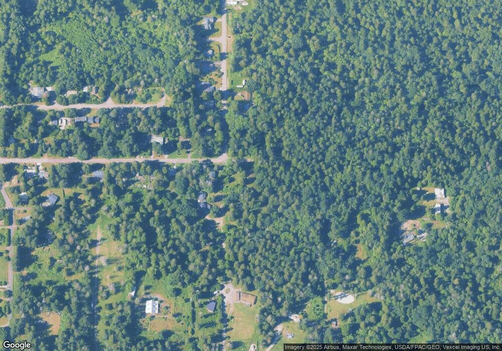
Map
Nearby Homes
- 1976 Cedar Park Dr
- Lot 2 Greenwood Dr
- lot 14 Cedar Park Dr Unit 14
- 1940 Apa Rd
- 0 6 39 Acres South Beach Rd
- 2045 Apa Rd
- 1911 Apa Rd
- 634 S Beach Rd
- 2 Benson Rd
- 2138 Benson Rd
- 661 Driftwood Ln
- 1934 Waters Rd
- 675 Sylvia Dr
- 0 Lot 7 Weasel Run Rd
- 6 Weasel Run Rd
- 500 Moose Trail
- 0 X Weasel Run
- 2149 Seabright Loop
- 698 Kendor Dr
- 2128 Seabright Loop
- 480 Greenwood Dr
- 1985 Cedar Park Dr
- 507 Calder Dr
- 479 Greenwood Dr
- 470 Greenwood Dr
- 1983 Cedar Park Dr
- 464 Greenwood Dr
- 469 Greenwood Dr
- 1979 Cedar Park Dr
- 1967 N Cedar Park Dr
- 1965 N Cedar Park Dr
- 1975 Cedar Park Dr
- 1970 Cedar Park Dr
- 1971 Cedar Park Dr
- 453 Greenwood Dr
- 1956 Cedar Park Dr
- 1955 N Cedar Park Dr
- 417 Greenwood Dr
- 1952 Cedar Park Dr