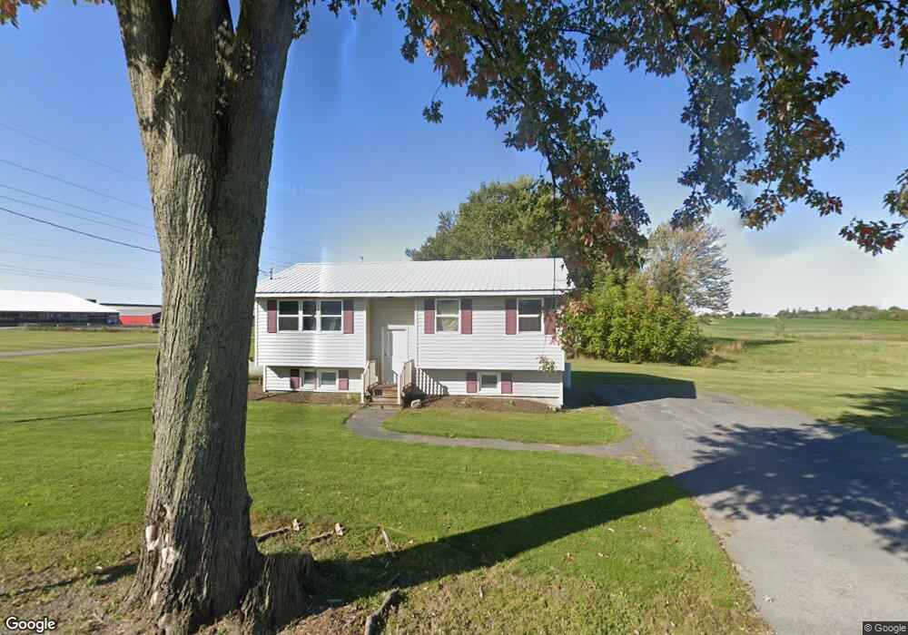
1999 Dougall Rd Auburn, NY 13021
Estimated Value: $244,417 - $443,000
2
Beds
1
Bath
1,848
Sq Ft
$174/Sq Ft
Est. Value
About This Home
This home is located at 1999 Dougall Rd, Auburn, NY 13021 and is currently estimated at $322,354, approximately $174 per square foot. 1999 Dougall Rd is a home located in Cayuga County with nearby schools including Andrew J. Smith Elementary School, Union Springs Middle School, and Union Springs Middle/High School.
Ownership History
Date
Name
Owned For
Owner Type
Purchase Details
Closed on
Jun 3, 2011
Sold by
Doody Farms Llc
Bought by
Cayuga Dairy Llc
Current Estimated Value
Home Financials for this Owner
Home Financials are based on the most recent Mortgage that was taken out on this home.
Original Mortgage
$3,000,000
Outstanding Balance
$2,089,364
Interest Rate
4.85%
Mortgage Type
Credit Line Revolving
Estimated Equity
-$1,767,010
Purchase Details
Closed on
Jan 16, 2002
Sold by
Doody Donald
Bought by
Doody Farms Llc
Create a Home Valuation Report for This Property
The Home Valuation Report is an in-depth analysis detailing your home's value as well as a comparison with similar homes in the area
Home Values in the Area
Average Home Value in this Area
Purchase History
| Date | Buyer | Sale Price | Title Company |
|---|---|---|---|
| Cayuga Dairy Llc | $2,209,000 | None Available | |
| Doody Farms Llc | -- | John Delaney |
Source: Public Records
Mortgage History
| Date | Status | Borrower | Loan Amount |
|---|---|---|---|
| Open | Cayuga Dairy Llc | $3,000,000 |
Source: Public Records
Tax History
| Year | Tax Paid | Tax Assessment Tax Assessment Total Assessment is a certain percentage of the fair market value that is determined by local assessors to be the total taxable value of land and additions on the property. | Land | Improvement |
|---|---|---|---|---|
| 2024 | $3,971 | $218,700 | $52,800 | $165,900 |
| 2023 | $3,907 | $138,500 | $21,400 | $117,100 |
| 2022 | $3,565 | $138,500 | $21,400 | $117,100 |
| 2021 | $3,507 | $138,500 | $21,400 | $117,100 |
| 2020 | $3,169 | $138,500 | $21,400 | $117,100 |
| 2019 | $529 | $138,500 | $21,400 | $117,100 |
| 2018 | $2,514 | $40,380 | $11,380 | $29,000 |
| 2017 | $3,033 | $40,380 | $11,380 | $29,000 |
| 2016 | $3,064 | $40,380 | $11,380 | $29,000 |
| 2015 | -- | $40,380 | $11,380 | $29,000 |
| 2014 | -- | $40,380 | $11,380 | $29,000 |
Source: Public Records
Map
Nearby Homes
- 5197 Bluefield Rd
- 5578 State Route 34
- 5535 Silver Street Rd
- 30 Elmhurst Cir
- 39 Elmhurst Cir
- 5800 S Street Rd
- 15 W Clymer St
- 163 Garrow Street Extension
- 9 Anderson Cir
- 149 Dunning Ave
- 135 Dunning Ave
- 110 - 114 Garrow St
- 5040 State Route 34
- Lot 2 Murphy's Way
- 12 Willard St
- 6 Willard St
- 50 Aspen St
- 25 Burgess St
- 6055 S Street Rd
- 16 Aspen St
- 1967 Dougall Rd
- 2064 Dougall Rd
- 5617 Bluefield Rd
- 5631 Bluefield Rd
- 5563 Bluefield Rd
- 1863 Dougall Rd
- 5527 Bluefield Rd
- 2137 Riester Rd
- 5662 Bluefield Rd
- 5503 Bluefield Rd
- 5699 Bluefield Rd
- 2152 Riester Rd
- 5468 Large Rd
- 5710 Bluefield Rd
- 5731 Bluefield Rd
- 1829 Dougall Rd
- 5777 Bluefield Rd
- 5530 Large Rd
- 5739 Bluefield Rd
- 5738 Bluefield Rd
Your Personal Tour Guide
Ask me questions while you tour the home.