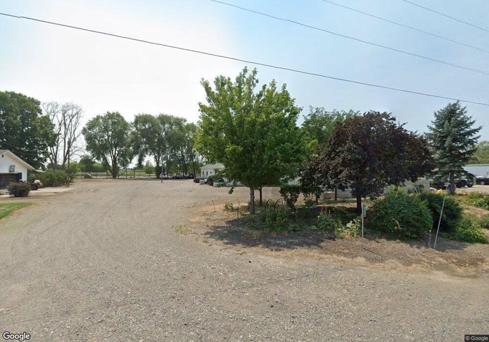
1999 E 1775 S Gooding, ID 83330
Estimated Value: $368,000
4
Beds
3
Baths
2,584
Sq Ft
$142/Sq Ft
Est. Value
About This Home
This home is located at 1999 E 1775 S, Gooding, ID 83330 and is currently estimated at $368,000, approximately $142 per square foot. 1999 E 1775 S is a home located in Gooding County with nearby schools including Gooding Elementary School, Gooding Middle School, and Gooding High School.
Ownership History
Date
Name
Owned For
Owner Type
Purchase Details
Closed on
Feb 11, 2022
Sold by
Kearsley and Shaylee
Bought by
Total Bs Ranch Llc
Current Estimated Value
Purchase Details
Closed on
May 21, 2014
Sold by
Clark Dennis D and Clark Cherry A
Bought by
Kearsley Benjamin and Kearsley Shaylee
Home Financials for this Owner
Home Financials are based on the most recent Mortgage that was taken out on this home.
Original Mortgage
$476,000
Interest Rate
4.27%
Mortgage Type
Purchase Money Mortgage
Purchase Details
Closed on
Mar 30, 2009
Sold by
Dawson David M and Dawson Kelly
Bought by
Clark Dennis D and Clark Cherry A
Home Financials for this Owner
Home Financials are based on the most recent Mortgage that was taken out on this home.
Original Mortgage
$465,000
Interest Rate
5.06%
Mortgage Type
Purchase Money Mortgage
Create a Home Valuation Report for This Property
The Home Valuation Report is an in-depth analysis detailing your home's value as well as a comparison with similar homes in the area
Purchase History
| Date | Buyer | Sale Price | Title Company |
|---|---|---|---|
| Total Bs Ranch Llc | -- | First American Title | |
| Kearsley Benjamin | -- | First American Title | |
| Clark Dennis D | -- | -- |
Source: Public Records
Mortgage History
| Date | Status | Borrower | Loan Amount |
|---|---|---|---|
| Previous Owner | Kearsley Benjamin | $476,000 | |
| Previous Owner | Clark Dennis D | $465,000 |
Source: Public Records
Tax History
| Year | Tax Paid | Tax Assessment Tax Assessment Total Assessment is a certain percentage of the fair market value that is determined by local assessors to be the total taxable value of land and additions on the property. | Land | Improvement |
|---|---|---|---|---|
| 2025 | $3,010 | $464,589 | $192,375 | $272,214 |
| 2024 | $3,106 | $454,935 | $197,975 | $256,960 |
| 2023 | $3,210 | $451,992 | $195,032 | $256,960 |
| 2022 | $3,464 | $456,615 | $199,655 | $256,960 |
| 2021 | $3,589 | $408,750 | $164,026 | $244,724 |
| 2020 | $3,111 | $307,797 | $120,873 | $186,924 |
| 2019 | $3,197 | $289,897 | $120,873 | $169,024 |
| 2018 | $2,557 | $236,612 | $99,689 | $136,923 |
| 2017 | $2,400 | $0 | $0 | $0 |
| 2016 | $2,521 | $0 | $0 | $0 |
| 2015 | $2,519 | $0 | $0 | $0 |
| 2014 | -- | $0 | $0 | $0 |
| 2011 | -- | $0 | $0 | $0 |
Source: Public Records
Map
Nearby Homes
- 919 9th Ave E
- TBD Ln
- 602 4th Ave E
- 506 5th Ave E
- 726 Wyoming St
- 326 Montana St
- 909 Oregon St
- 518 Montana St
- 442 Main St
- TBD E 1700 Rd S
- 325 Idaho St
- 506 California St
- 530 California St
- 551 10th Ave W
- 729 California St
- 302 Nevada St
- 1824 E 1800 S Unit Lot 1 Block 1
- TBD S 2100 E
- 380 Orchard Dr E
- 929 Nevada St
- 1997 E 1775 S
- 916 Victory Dr
- 923 Victory Dr
- 918 Victory Dr
- 924 Victory Dr
- 919 Victory Dr
- 910 Victory Dr
- 1985 E 1775 S
- 1995 E 1775 S
- 1500 Mountain View Dr
- 1530 Mountain View Dr
- 1510 Mountain View Dr
- 1978 E 1775 S
- 1975 E 1775 S
- 1965 E 1775 S
- 1969 E 1775 S
- 1732 9th Ave E
- 1951 E 1775 S
- 1520 9th Ave E
- 1506 9th Ave E
Your Personal Tour Guide
Ask me questions while you tour the home.