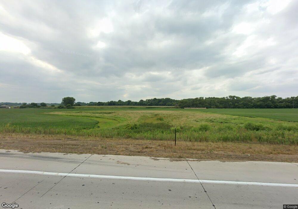
1999 Highway 275 West Point, NE 68788
Estimated Value: $174,000
--
Bed
1
Bath
1,742
Sq Ft
$100/Sq Ft
Est. Value
About This Home
This home is located at 1999 Highway 275, West Point, NE 68788 and is currently estimated at $174,000, approximately $99 per square foot. 1999 Highway 275 is a home located in Cuming County with nearby schools including West Point-Beemer Junior/Senior High School, St. Paul Lutheran School, and Guardian Angels Elementary School.
Create a Home Valuation Report for This Property
The Home Valuation Report is an in-depth analysis detailing your home's value as well as a comparison with similar homes in the area
Home Values in the Area
Average Home Value in this Area
Tax History Compared to Growth
Tax History
| Year | Tax Paid | Tax Assessment Tax Assessment Total Assessment is a certain percentage of the fair market value that is determined by local assessors to be the total taxable value of land and additions on the property. | Land | Improvement |
|---|---|---|---|---|
| 2025 | $516 | $102,750 | $102,750 | $0 |
| 2024 | $516 | $87,100 | $87,100 | $0 |
| 2023 | $687 | $77,540 | $77,540 | $0 |
| 2022 | $735 | $74,685 | $74,685 | $0 |
| 2021 | $776 | $77,270 | $77,270 | $0 |
| 2020 | $831 | $83,675 | $83,675 | $0 |
| 2019 | $1,882 | $183,255 | $108,360 | $74,895 |
| 2018 | $1,897 | $185,140 | $110,245 | $74,895 |
| 2017 | $1,809 | $170,925 | $100,710 | $70,215 |
| 2016 | $2,222 | $197,290 | $102,125 | $95,165 |
| 2015 | $2,546 | $206,130 | $112,600 | $93,530 |
| 2014 | $2,042 | $172,875 | $95,640 | $77,235 |
| 2013 | $2,042 | $143,705 | $68,020 | $75,685 |
Source: Public Records
Map
Nearby Homes