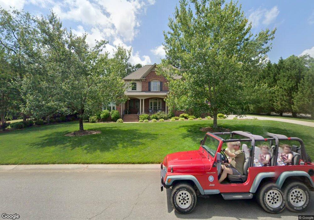
1999 Landry Ln Rock Hill, SC 29732
Estimated Value: $747,391 - $882,000
4
Beds
4
Baths
3,400
Sq Ft
$231/Sq Ft
Est. Value
About This Home
This home is located at 1999 Landry Ln, Rock Hill, SC 29732 and is currently estimated at $786,098, approximately $231 per square foot. 1999 Landry Ln is a home located in York County with nearby schools including Rawlinson Road Middle School, Northwestern High School, and York Preparatory Academy.
Ownership History
Date
Name
Owned For
Owner Type
Purchase Details
Closed on
Apr 25, 2024
Sold by
Hedstrom Betty A and Hedstrom Carl David
Bought by
Hedstrom Carl David and Hedstrom Betty A
Current Estimated Value
Purchase Details
Closed on
Feb 1, 2010
Sold by
The Oconnell Corporation
Bought by
Hedstrom Carl David and Culpepper Betty A
Home Financials for this Owner
Home Financials are based on the most recent Mortgage that was taken out on this home.
Original Mortgage
$301,000
Interest Rate
5.16%
Mortgage Type
New Conventional
Purchase Details
Closed on
Sep 2, 2004
Sold by
Meadow Lakes Partners
Bought by
The Oconnell Corp
Create a Home Valuation Report for This Property
The Home Valuation Report is an in-depth analysis detailing your home's value as well as a comparison with similar homes in the area
Home Values in the Area
Average Home Value in this Area
Purchase History
| Date | Buyer | Sale Price | Title Company |
|---|---|---|---|
| Hedstrom Carl David | -- | None Listed On Document | |
| Hedstrom Carl David | $406,000 | -- | |
| The Oconnell Corp | $50,400 | -- |
Source: Public Records
Mortgage History
| Date | Status | Borrower | Loan Amount |
|---|---|---|---|
| Previous Owner | Hedstrom Carl David | $301,000 |
Source: Public Records
Tax History Compared to Growth
Tax History
| Year | Tax Paid | Tax Assessment Tax Assessment Total Assessment is a certain percentage of the fair market value that is determined by local assessors to be the total taxable value of land and additions on the property. | Land | Improvement |
|---|---|---|---|---|
| 2024 | $2,937 | $15,387 | $2,943 | $12,444 |
| 2023 | $2,945 | $15,387 | $2,943 | $12,444 |
| 2022 | $2,965 | $15,387 | $2,943 | $12,444 |
| 2021 | -- | $15,387 | $2,943 | $12,444 |
| 2020 | $2,972 | $15,387 | $0 | $0 |
| 2019 | $2,606 | $13,380 | $0 | $0 |
| 2018 | $2,603 | $13,380 | $0 | $0 |
| 2017 | $2,507 | $13,380 | $0 | $0 |
| 2016 | $2,484 | $13,380 | $0 | $0 |
| 2014 | $2,642 | $13,380 | $2,720 | $10,660 |
| 2013 | $2,642 | $14,700 | $2,720 | $11,980 |
Source: Public Records
Map
Nearby Homes
- 2069 Landry Ln Unit 233
- 2076 Landry Ln Unit 232
- 1189 Quiet Acres Rd
- 1594 Summit View Dr
- 1593 Worthington Crossing
- 2765 Dogwood Cir
- 1183 Quiet Acres Rd
- 1548 Summit View Dr
- 2615 Oakhurst Dr
- 1487 The Crossing
- 1122 Wendy Rd
- 985 Montgomery Dr
- 1768 Williamsburg Dr
- 829 Rawlinson Rd
- 893 Woodway Ln
- 609 Rosemore Place
- 1939 Hendricks St
- 1925 Hendricks St
- 981 Meadowlark Dr
- 1312 Copper Leaf Dr
- 2009 Landry Ln
- 1989 Landry Ln
- 1988 Landry Ln
- 1988 Landry Ln
- 1979 Landry Ln
- 2500 Barrington Ct
- 2019 Landry Ln
- 1694 Nestledown Ct
- 1978 Landry Ln
- 2504 Barrington Ct
- 1687 Nestledown Ct
- 2503 Barrington Ct
- 2508 Barrington Ct
- 1686 Nestledown Ct
- 1968 Landry Ln
- 1969 Landry Ln
- 2030 Landry Ln
- 2512 Barrington Ct
- 1678 Nestledown Ct
- 2507 Barrington Ct