1999 Old Authon Rd Weatherford, TX 76088
Estimated Value: $575,745 - $593,000
3
Beds
3
Baths
2,032
Sq Ft
$288/Sq Ft
Est. Value
About This Home
This home is located at 1999 Old Authon Rd, Weatherford, TX 76088 and is currently estimated at $584,373, approximately $287 per square foot. 1999 Old Authon Rd is a home located in Parker County with nearby schools including Garner Elementary School.
Ownership History
Date
Name
Owned For
Owner Type
Purchase Details
Closed on
Aug 14, 2014
Sold by
Bowman Vicki Denise
Bought by
Bailey Woody and Bailey Teresa
Current Estimated Value
Home Financials for this Owner
Home Financials are based on the most recent Mortgage that was taken out on this home.
Original Mortgage
$280,250
Outstanding Balance
$214,089
Interest Rate
4.16%
Mortgage Type
New Conventional
Estimated Equity
$370,284
Create a Home Valuation Report for This Property
The Home Valuation Report is an in-depth analysis detailing your home's value as well as a comparison with similar homes in the area
Home Values in the Area
Average Home Value in this Area
Purchase History
| Date | Buyer | Sale Price | Title Company |
|---|---|---|---|
| Bailey Woody | -- | Stnt |
Source: Public Records
Mortgage History
| Date | Status | Borrower | Loan Amount |
|---|---|---|---|
| Open | Bailey Woody | $280,250 |
Source: Public Records
Tax History Compared to Growth
Tax History
| Year | Tax Paid | Tax Assessment Tax Assessment Total Assessment is a certain percentage of the fair market value that is determined by local assessors to be the total taxable value of land and additions on the property. | Land | Improvement |
|---|---|---|---|---|
| 2025 | $3,659 | $365,263 | -- | -- |
| 2024 | $3,659 | $332,057 | -- | -- |
| 2023 | $3,659 | $301,870 | $0 | $0 |
| 2022 | $4,273 | $289,810 | $24,170 | $265,640 |
| 2021 | $4,352 | $289,810 | $24,170 | $265,640 |
| 2020 | $3,948 | $226,800 | $17,330 | $209,470 |
| 2019 | $4,197 | $226,800 | $17,330 | $209,470 |
| 2018 | $3,840 | $205,180 | $9,700 | $195,480 |
| 2017 | $3,714 | $205,180 | $9,700 | $195,480 |
| 2016 | $3,376 | $177,780 | $7,310 | $170,470 |
| 2015 | $2,741 | $161,790 | $7,310 | $154,480 |
| 2014 | $2,513 | $143,310 | $8,750 | $134,560 |
Source: Public Records
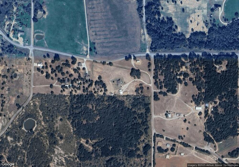
Map
Nearby Homes
- 201 Threatt Ln
- 225 Jefferson Way
- 0 Tbd Old Authon Rd
- 308 Rickys Rd
- 309 Rickys Rd
- 312 Rickys Rd
- 209 Jefferson Way
- 101 Norene Ln
- 201 Jefferson Way
- 5686 New Authon Rd
- 105 Norene Ln
- 6500 Fm Rd Unit 1885
- 3099 Cabaniss Ln
- 6915 Fm 1885
- 431 Advance Rd
- 555 Advance Rd
- 117 Goldfinch Ln
- 142 Bishop Dr
- TBD Old Authon Rd
- 1012 Freedom Ct
- 6809 New Authon Rd
- 3950 Garner Adell Rd
- 1980 Old Authon Rd
- 6603 New Authon Rd
- 3960 Garner Adell Rd
- 1951 Old Authon Rd
- 6599 New Authon Rd
- 6808 New Authon Rd
- 6910 New Authon Rd
- 6510 New Authon Rd
- 6511 New Authon Rd
- 6475 New Authon Rd
- 1852 Old Authon Rd
- 6451 New Authon Rd
- 393 Garner- Adell Rd
- TBD Lot 2 Garner- Adell Rd
- TBD Lot 3 Garner- Adell Rd
- 5000 Garner- Adell Rd
- Lot 9 Ryker Ridge Garner- Adell Rd
- Lot 10 Ryker Ridge Garner- Adell Rd