1999 Salt Myrtle Ln Fleming Island, FL 32003
Estimated Value: $762,000 - $1,101,162
4
Beds
3
Baths
2,619
Sq Ft
$367/Sq Ft
Est. Value
About This Home
This home is located at 1999 Salt Myrtle Ln, Fleming Island, FL 32003 and is currently estimated at $960,541, approximately $366 per square foot. 1999 Salt Myrtle Ln is a home located in Clay County with nearby schools including Robert M. Paterson Elementary School, Fleming Island High School, and Green Cove Springs Junior High School.
Ownership History
Date
Name
Owned For
Owner Type
Purchase Details
Closed on
Aug 2, 2012
Sold by
Draughon Robert M and Draughon Kathleen M
Bought by
Draughon Robert M and Draughon Kathleen M
Current Estimated Value
Purchase Details
Closed on
Jan 27, 2000
Sold by
Carrubba Roy C
Bought by
Draughon Robert M and Draughon Kathleen M
Home Financials for this Owner
Home Financials are based on the most recent Mortgage that was taken out on this home.
Original Mortgage
$423,900
Outstanding Balance
$130,897
Interest Rate
7.9%
Estimated Equity
$829,644
Create a Home Valuation Report for This Property
The Home Valuation Report is an in-depth analysis detailing your home's value as well as a comparison with similar homes in the area
Home Values in the Area
Average Home Value in this Area
Purchase History
| Date | Buyer | Sale Price | Title Company |
|---|---|---|---|
| Draughon Robert M | -- | Attorney | |
| Draughon Robert M | $529,900 | Security First Title Partner |
Source: Public Records
Mortgage History
| Date | Status | Borrower | Loan Amount |
|---|---|---|---|
| Open | Draughon Robert M | $423,900 |
Source: Public Records
Tax History Compared to Growth
Tax History
| Year | Tax Paid | Tax Assessment Tax Assessment Total Assessment is a certain percentage of the fair market value that is determined by local assessors to be the total taxable value of land and additions on the property. | Land | Improvement |
|---|---|---|---|---|
| 2025 | $9,385 | $683,995 | -- | -- |
| 2024 | $9,524 | $664,719 | -- | -- |
| 2023 | $9,524 | $645,359 | $0 | $0 |
| 2022 | $9,145 | $626,563 | $0 | $0 |
| 2021 | $9,100 | $608,314 | $0 | $0 |
| 2020 | $8,768 | $599,916 | $0 | $0 |
| 2019 | $8,658 | $586,429 | $0 | $0 |
| 2018 | $7,845 | $564,473 | $0 | $0 |
| 2017 | $7,984 | $563,885 | $0 | $0 |
| 2016 | $7,991 | $552,287 | $0 | $0 |
| 2015 | $8,155 | $548,448 | $0 | $0 |
| 2014 | $8,039 | $544,095 | $0 | $0 |
Source: Public Records
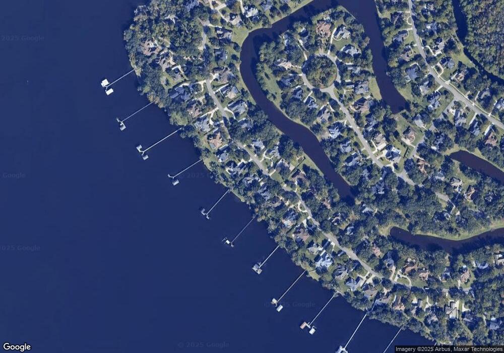
Map
Nearby Homes
- 1947 Rose Mallow Ln
- 2216 Salt Myrtle Ln
- 1333 S Shore Dr
- 1576 Sandy Springs Dr
- 1486 Walnut Creek Dr
- 1634 Dockside Dr
- 1790 N Lakeshore Dr
- 1655 Highland View Ct
- 1452 Water Pipit Ln
- 1860 Royal Fern Ln Unit 9
- 1028 Creighton Rd
- ST. GEORGE Plan at Creighton Pointe
- GRAYTON II Plan at Creighton Pointe
- MARSHALL Plan at Creighton Pointe
- JENSEN Plan at Creighton Pointe
- JAMESON Plan at Creighton Pointe
- SEASIDE Plan at Creighton Pointe
- EGRET Plan at Creighton Pointe
- ROSEMARY Plan at Creighton Pointe
- 1024 Creighton Rd
- 1993 Salt Myrtle Ln
- 2005 Salt Myrtle Ln
- 2011 Salt Myrtle Ln
- 1987 Salt Myrtle Ln
- 2000 Salt Myrtle Ln
- 2006 Salt Myrtle Ln
- 1994 Salt Myrtle Ln
- 2017 Salt Myrtle Ln
- 1988 Salt Myrtle Ln
- 1981 Salt Myrtle Ln
- 2014 Salt Myrtle Ln
- 1982 Salt Myrtle Ln
- 2023 Salt Myrtle Ln
- 1975 Salt Myrtle Ln
- 2020 Salt Myrtle Ln
- 1976 Salt Myrtle Ln
- 2029 Salt Myrtle Ln
- 1969 Salt Myrtle Ln
- 2026 Salt Myrtle Ln
- 1970 Salt Myrtle Ln