1999 SW 34th Locust Grove, OK 74352
Estimated Value: $150,000 - $249,000
4
Beds
1
Bath
1,522
Sq Ft
$137/Sq Ft
Est. Value
About This Home
This home is located at 1999 SW 34th, Locust Grove, OK 74352 and is currently estimated at $208,012, approximately $136 per square foot. 1999 SW 34th is a home with nearby schools including Locust Grove Early Lrning Center, Locust Grove Upper Elementary School, and Locust Grove Middle School.
Ownership History
Date
Name
Owned For
Owner Type
Purchase Details
Closed on
Jan 20, 2023
Sold by
Reasons Chad
Bought by
Reasons Courtney
Current Estimated Value
Purchase Details
Closed on
Mar 25, 2021
Sold by
Reasons Courtney A
Bought by
Housing Authority Of The Cherokee Nation Of O
Purchase Details
Closed on
Nov 16, 2010
Sold by
Langston Larry and Langston Janet M
Bought by
Reasons Courtney A and Reasons Chad R
Home Financials for this Owner
Home Financials are based on the most recent Mortgage that was taken out on this home.
Original Mortgage
$99,970
Interest Rate
4.27%
Mortgage Type
New Conventional
Create a Home Valuation Report for This Property
The Home Valuation Report is an in-depth analysis detailing your home's value as well as a comparison with similar homes in the area
Home Values in the Area
Average Home Value in this Area
Purchase History
| Date | Buyer | Sale Price | Title Company |
|---|---|---|---|
| Reasons Courtney | -- | -- | |
| Reasons Courtney | -- | None Listed On Document | |
| Housing Authority Of The Cherokee Nation Of O | -- | None Listed On Document | |
| Reasons Courtney A | $90,000 | Heritage Title |
Source: Public Records
Mortgage History
| Date | Status | Borrower | Loan Amount |
|---|---|---|---|
| Previous Owner | Reasons Courtney A | $99,970 |
Source: Public Records
Tax History Compared to Growth
Tax History
| Year | Tax Paid | Tax Assessment Tax Assessment Total Assessment is a certain percentage of the fair market value that is determined by local assessors to be the total taxable value of land and additions on the property. | Land | Improvement |
|---|---|---|---|---|
| 2025 | $883 | $10,808 | $2,903 | $7,905 |
| 2024 | $883 | $10,494 | $2,819 | $7,675 |
| 2023 | $883 | $10,188 | $2,710 | $7,478 |
| 2022 | $802 | $9,892 | $2,557 | $7,335 |
| 2021 | $793 | $9,604 | $2,491 | $7,113 |
| 2020 | $778 | $9,323 | $2,426 | $6,897 |
| 2019 | $754 | $9,052 | $2,290 | $6,762 |
| 2018 | $744 | $8,789 | $2,195 | $6,594 |
| 2017 | $744 | $8,789 | $2,195 | $6,594 |
| 2016 | $727 | $8,789 | $2,195 | $6,594 |
| 2015 | $750 | $8,789 | $2,195 | $6,594 |
| 2014 | -- | $9,867 | $2,195 | $7,672 |
Source: Public Records
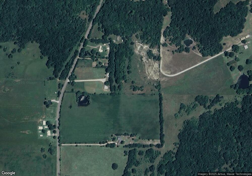
Map
Nearby Homes
- 1901 SW 34th
- 1885 SW 34th
- 2155 SW 34th
- 2052 SW 34th
- 0 SW 34th
- 1721 SW 34th
- 1690 SW 34th
- 1555 SW 34th
- 91 Twin Hills Ln
- 176 Twin Hills Ln
- 98 Twin Hills Ln
- 279 Twin Hills Rd
- 138 Twin Hills Ln
- 112 Twin Hills Ln
- 283 Twin Hills Rd
- 283 Twin Hills Rd
- 626 W 600
- 40 Twin Hills Rd
- 29 Twin Hills Ln
- 19 Twin Hills Rd